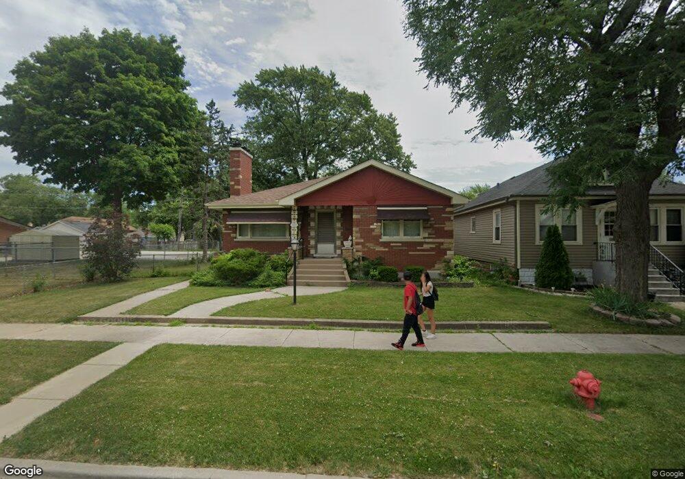
12025 Maple Ave Blue Island, IL 60406
Estimated Value: $218,058 - $239,000
3
Beds
1
Bath
1,212
Sq Ft
$190/Sq Ft
Est. Value
About This Home
This home is located at 12025 Maple Ave, Blue Island, IL 60406 and is currently estimated at $230,015, approximately $189 per square foot. 12025 Maple Ave is a home located in Cook County with nearby schools including Paul Revere Intermediate School, Paul Revere Primary School, and Veterans Memorial Middle School.
Ownership History
Date
Name
Owned For
Owner Type
Purchase Details
Closed on
Mar 31, 2021
Sold by
Sullivan Sara L and The Klotz Family Trust
Bought by
Sullivan Sara L and The Sullivan Family Trust
Current Estimated Value
Purchase Details
Closed on
Jun 12, 2009
Sold by
Klotz Robert H and Klotz Eileen E
Bought by
Klotz Robert H and Klotz Eileen E
Purchase Details
Closed on
Dec 12, 2008
Sold by
Klotz Robert H
Bought by
Klotz Robert H and Klotz Eileen E
Purchase Details
Closed on
Nov 17, 1999
Sold by
Klotz Virginia L
Bought by
Klotz Virginia L and The Virginia L Klotz Trust
Create a Home Valuation Report for This Property
The Home Valuation Report is an in-depth analysis detailing your home's value as well as a comparison with similar homes in the area
Home Values in the Area
Average Home Value in this Area
Purchase History
| Date | Buyer | Sale Price | Title Company |
|---|---|---|---|
| Sullivan Sara L | -- | None Available | |
| Klotz Robert H | -- | None Available | |
| Klotz Robert H | -- | None Available | |
| Klotz Virginia L | -- | -- |
Source: Public Records
Tax History Compared to Growth
Tax History
| Year | Tax Paid | Tax Assessment Tax Assessment Total Assessment is a certain percentage of the fair market value that is determined by local assessors to be the total taxable value of land and additions on the property. | Land | Improvement |
|---|---|---|---|---|
| 2024 | $7,008 | $18,000 | $3,082 | $14,918 |
| 2023 | $5,866 | $18,000 | $3,082 | $14,918 |
| 2022 | $5,866 | $12,286 | $2,680 | $9,606 |
| 2021 | $913 | $12,285 | $2,680 | $9,605 |
| 2020 | $913 | $12,285 | $2,680 | $9,605 |
| 2019 | $0 | $12,950 | $2,412 | $10,538 |
| 2018 | $0 | $12,950 | $2,412 | $10,538 |
| 2017 | $0 | $12,950 | $2,412 | $10,538 |
| 2016 | $913 | $10,977 | $2,010 | $8,967 |
| 2015 | $933 | $10,977 | $2,010 | $8,967 |
| 2014 | $896 | $10,977 | $2,010 | $8,967 |
| 2013 | $851 | $10,948 | $2,010 | $8,938 |
Source: Public Records
Map
Nearby Homes
- 12045 Greenwood Ave
- 2636 121st Place
- 11900 Ann St
- 11834 S Campbell Ave
- 12200 Highland Ave
- 2330 121st St
- 12250 Greenwood Ave
- 12235 Fairway Cir Unit A
- 2630 Grunewald St
- 2610 Grunewald St
- 11706 S Artesian Ave
- 11730 S Oakley Ave
- 2535 W 116th Place
- 2529 Collins St
- 2528 Cochran St
- 12217 Longwood Dr
- 12452 Fairview Ave
- 12456 Fairview Ave
- 2212 123rd Place
- 2209 123rd Place
- 12029 Maple Ave
- 12033 Maple Ave
- 12037 Maple Ave
- 12024-34 Ann St
- 12022 Ann St
- 12041 Maple Ave
- 12014 Ann St
- 12036 Ann St
- 12020 Maple Ave
- 12045 Maple Ave
- 12018 Maple Ave
- 12040 Ann St
- 12010 Ann St
- 12034 Maple Ave
- 12014 Maple Ave
- 12038 Maple Ave
- 12049 Maple Ave
- 12010 Maple Ave
- 12044 Maple Ave
- 12050 Ann St