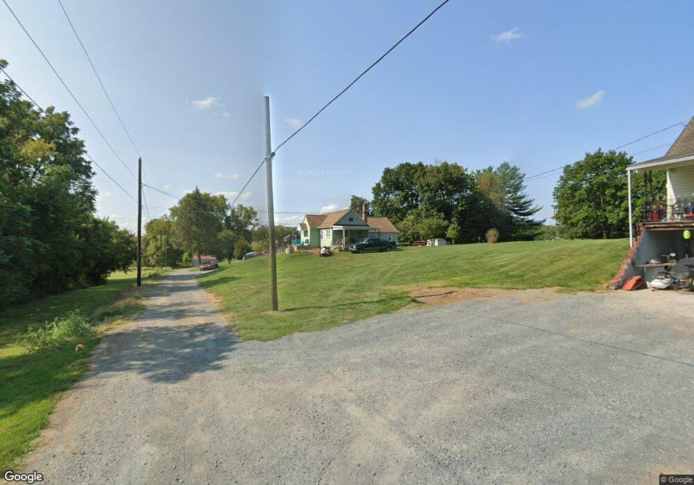
12027 Koons Rd Waynesboro, PA 17268
Estimated Value: $143,389 - $254,000
--
Bed
--
Bath
1,338
Sq Ft
$143/Sq Ft
Est. Value
About This Home
This home is located at 12027 Koons Rd, Waynesboro, PA 17268 and is currently estimated at $191,597, approximately $143 per square foot. 12027 Koons Rd is a home located in Franklin County with nearby schools including Waynesboro Area Senior High School, St. Andrew Catholic School, and Noah's Ark Christian Child Care Center.
Ownership History
Date
Name
Owned For
Owner Type
Purchase Details
Closed on
Sep 27, 2016
Sold by
Nunemaker Virgil W and Nunemaker Joan E
Bought by
Poper Penny L and Poper Gary L
Current Estimated Value
Create a Home Valuation Report for This Property
The Home Valuation Report is an in-depth analysis detailing your home's value as well as a comparison with similar homes in the area
Home Values in the Area
Average Home Value in this Area
Purchase History
| Date | Buyer | Sale Price | Title Company |
|---|---|---|---|
| Poper Penny L | -- | Attorney |
Source: Public Records
Tax History Compared to Growth
Tax History
| Year | Tax Paid | Tax Assessment Tax Assessment Total Assessment is a certain percentage of the fair market value that is determined by local assessors to be the total taxable value of land and additions on the property. | Land | Improvement |
|---|---|---|---|---|
| 2025 | $1,329 | $8,650 | $700 | $7,950 |
| 2024 | $1,290 | $8,650 | $700 | $7,950 |
| 2023 | $1,252 | $8,650 | $700 | $7,950 |
| 2022 | $1,215 | $8,650 | $700 | $7,950 |
| 2021 | $1,180 | $8,650 | $700 | $7,950 |
| 2020 | $1,162 | $8,650 | $700 | $7,950 |
| 2019 | $1,136 | $8,650 | $700 | $7,950 |
| 2018 | $1,099 | $8,650 | $700 | $7,950 |
| 2017 | $1,075 | $8,650 | $700 | $7,950 |
| 2016 | $248 | $8,650 | $700 | $7,950 |
| 2015 | $231 | $8,650 | $700 | $7,950 |
| 2014 | $231 | $8,650 | $700 | $7,950 |
Source: Public Records
Map
Nearby Homes
- 12041 Koons Rd
- TBD Whippet Trail
- TBD Harrier Way
- 5385 Harrier Way
- 5377 Harrier Way
- 4798 Gray Hawk Dr Unit 17
- 12152 Red Hawk Dr
- 6287 Marsh Rd
- 6668 Marsh Rd
- 422 Cleveland Ave
- 4594 Salem Church Rd
- 462 Scott Ave Unit 4
- 217 Fairview Ave
- 105 Fairview Ave
- 0 Westview Ave
- 130 Hamilton Ave
- 208 Hamilton Ave
- 286 W 2nd St
- 336 Fairmount Ave
- 12005 Koons Rd
- 5456 Buchanan Trail E
- 5428 Buchanan Trail E
- 5662 Buchanan Trail E
- 5567 Buchanan Trail E
- 5782 Buchanan Trail E
- 5616 Tick Ridge Rd
- 5656 Tick Ridge Rd
- 5420 Buchanan Trail E
- 5626 Tick Ridge Rd
- 5634 Tick Ridge Rd
- 5642 Tick Ridge Rd
- 5527 Tick Ridge Rd
- 5435 Buchanan Trail E
- 5790 Buchanan Trail E
- 5406 Buchanan Trail E
- 5657 Tick Ridge Rd
- 5684 Tick Ridge Rd
- 5497 Tick Ridge Rd
- 5497 Tick Ridge Rd Unit LOT 26