Estimated Value: $88,000 - $170,000
2
Beds
1
Bath
1,914
Sq Ft
$68/Sq Ft
Est. Value
About This Home
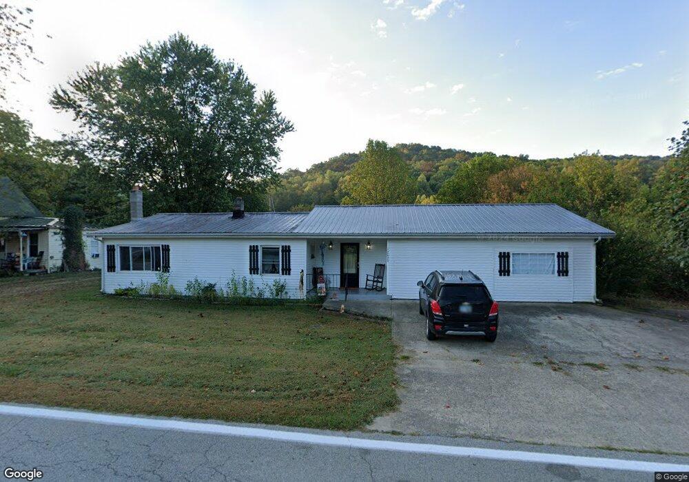
This home is located at 12029 State Route 348, Otway, OH 45657 and is currently estimated at $129,252, approximately $67 per square foot. 12029 State Route 348 is a home located in Adams County with nearby schools including West Union Elementary School and West Union High School.
Ownership History
Date
Name
Owned For
Owner Type
Purchase Details
Closed on
Jul 19, 2021
Sold by
Copas Regina
Bought by
Owens Brittany S and Owens Richard W
Current Estimated Value
Home Financials for this Owner
Home Financials are based on the most recent Mortgage that was taken out on this home.
Original Mortgage
$85,424
Outstanding Balance
$76,706
Interest Rate
2.8%
Mortgage Type
FHA
Estimated Equity
$52,546
Purchase Details
Closed on
Apr 9, 2004
Bought by
Moore Edward R
Purchase Details
Closed on
Jan 1, 1990
Bought by
Allied Partnership
Create a Home Valuation Report for This Property
The Home Valuation Report is an in-depth analysis detailing your home's value as well as a comparison with similar homes in the area
Purchase History
| Date | Buyer | Sale Price | Title Company |
|---|---|---|---|
| Owens Brittany S | $87,000 | American Homeland Title | |
| Moore Edward R | $25,600 | -- | |
| Allied Partnership | -- | -- |
Source: Public Records
Mortgage History
| Date | Status | Borrower | Loan Amount |
|---|---|---|---|
| Open | Owens Brittany S | $85,424 |
Source: Public Records
Tax History
| Year | Tax Paid | Tax Assessment Tax Assessment Total Assessment is a certain percentage of the fair market value that is determined by local assessors to be the total taxable value of land and additions on the property. | Land | Improvement |
|---|---|---|---|---|
| 2025 | $986 | $26,600 | $5,250 | $21,350 |
| 2024 | $986 | $26,600 | $5,250 | $21,350 |
| 2023 | $986 | $26,600 | $5,250 | $21,350 |
| 2022 | $986 | $16,670 | $3,820 | $12,850 |
| 2021 | $667 | $16,670 | $3,820 | $12,850 |
| 2020 | $681 | $16,670 | $3,820 | $12,850 |
| 2019 | $699 | $16,670 | $3,820 | $12,850 |
| 2018 | $604 | $14,530 | $3,820 | $10,710 |
| 2017 | $596 | $14,530 | $3,820 | $10,710 |
| 2016 | $532 | $13,240 | $3,820 | $9,420 |
| 2015 | $526 | $13,440 | $3,080 | $10,360 |
| 2014 | $526 | $13,440 | $3,080 | $10,360 |
Source: Public Records
Map
Nearby Homes
- 4345 Mt Unger Rd
- 0 St Rt 348 Unit 1855893
- 2472 Rocky Fork Rd
- 2800 Beech Fork Rd
- 0 Oppy Hill Rd
- 0 Beech Fork Rd Unit 5157055
- 0 Beech Fork Rd Unit 225044315
- Ohio 348
- 0 Blue Creek Rd
- 2603 Cassel Run Rd
- 2314 White Oak Rd
- 230 Newman Aly
- 6421 Big Spruce-Little Bear Rd
- 8.307 Ac Churn Creek Rd
- 2030 Cedar Mills Rd
- 357 Enley Rd
- A Enley Rd
- 2991 Cedar Mills Rd
- 1286 Steam Furnace Rd
- 656 Arion Rd
- 12029 Ohio 348
- 12051 State Route 348
- 12067 State Route 348
- 11973 State Route 348
- 11973 Ohio 348
- 12068 State Route 348
- 12092 State Route 348
- 12095 State Route 348
- 12100 State Route 348
- 348 Sr 348
- 12125 State Route 348
- 12139 State Route 348
- 12161 State Route 348
- 12179 State Route 348
- 7225 Mount Unger Rd
- 12179 State Route 348
- 12209 State Route 348
- 11817 State Route 348
- 12235 Ohio 348
- 12235 State Route 348
Your Personal Tour Guide
Ask me questions while you tour the home.