1203 Anvil Ct University Park, IL 60484
Estimated Value: $270,000 - $313,000
3
Beds
3
Baths
2,464
Sq Ft
$117/Sq Ft
Est. Value
About This Home
This home is located at 1203 Anvil Ct, University Park, IL 60484 and is currently estimated at $289,072, approximately $117 per square foot. 1203 Anvil Ct is a home located in Will County with nearby schools including Monee Elementary School, Crete-Monee Middle School, and Crete-Monee High School.
Create a Home Valuation Report for This Property
The Home Valuation Report is an in-depth analysis detailing your home's value as well as a comparison with similar homes in the area
Home Values in the Area
Average Home Value in this Area
Tax History Compared to Growth
Tax History
| Year | Tax Paid | Tax Assessment Tax Assessment Total Assessment is a certain percentage of the fair market value that is determined by local assessors to be the total taxable value of land and additions on the property. | Land | Improvement |
|---|---|---|---|---|
| 2024 | $9,828 | $86,301 | $10,910 | $75,391 |
| 2023 | $9,828 | $74,397 | $9,405 | $64,992 |
| 2022 | $8,378 | $65,444 | $8,273 | $57,171 |
| 2021 | $8,048 | $60,572 | $7,523 | $53,049 |
| 2020 | $7,951 | $58,608 | $7,279 | $51,329 |
| 2019 | $8,040 | $55,579 | $6,903 | $48,676 |
| 2018 | $7,925 | $53,892 | $6,750 | $47,142 |
| 2017 | $7,826 | $52,263 | $6,539 | $45,724 |
| 2016 | $7,445 | $49,936 | $6,302 | $43,634 |
| 2015 | $6,939 | $46,898 | $5,831 | $41,067 |
| 2014 | $6,939 | $47,560 | $5,826 | $41,734 |
| 2013 | $6,939 | $49,800 | $6,100 | $43,700 |
Source: Public Records
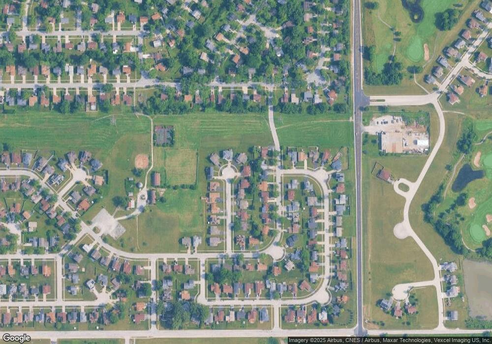
Map
Nearby Homes
- 1244 Harvest Ln
- 1032 Samson Dr
- 1039 Abbot Ln
- 1109 Abbot Ln
- 1029 Samson Dr
- 613 Farmview Rd
- 1039 Barrow Ct
- 1031 Blackhawk Dr
- 537 Nathan Rd
- 740 Mission St
- 543 Regent Rd
- 607 Sullivan Ln
- 903 Blackhawk Dr
- 608 Sullivan Ln
- 815 Blackhawk Dr
- 655 Sullivan Ln
- 807 Blackhawk Dr
- 662 Sullivan Ln
- 0 S Nacke Rd
- 735 Union Dr