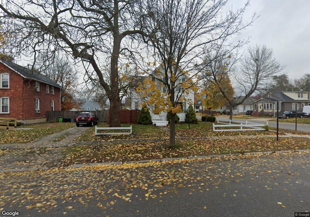
1203 Bancroft St Port Huron, MI 48060
Estimated Value: $144,000 - $167,000
4
Beds
2
Baths
1,450
Sq Ft
$107/Sq Ft
Est. Value
About This Home
This home is located at 1203 Bancroft St, Port Huron, MI 48060 and is currently estimated at $155,055, approximately $106 per square foot. 1203 Bancroft St is a home located in St. Clair County with nearby schools including Woodrow Wilson Elementary School, Central Middle School, and Port Huron High School.
Ownership History
Date
Name
Owned For
Owner Type
Purchase Details
Closed on
Apr 20, 2017
Sold by
Mers
Bought by
Management Anspaugh Property
Current Estimated Value
Purchase Details
Closed on
Sep 23, 2005
Sold by
Wargo Mark and Wargo Tracee L
Bought by
Kesselhon John H
Home Financials for this Owner
Home Financials are based on the most recent Mortgage that was taken out on this home.
Original Mortgage
$101,600
Interest Rate
6.12%
Mortgage Type
Adjustable Rate Mortgage/ARM
Create a Home Valuation Report for This Property
The Home Valuation Report is an in-depth analysis detailing your home's value as well as a comparison with similar homes in the area
Home Values in the Area
Average Home Value in this Area
Purchase History
| Date | Buyer | Sale Price | Title Company |
|---|---|---|---|
| Management Anspaugh Property | $28,700 | None Available | |
| Kesselhon John H | $127,000 | Metropolitan Title Co |
Source: Public Records
Mortgage History
| Date | Status | Borrower | Loan Amount |
|---|---|---|---|
| Previous Owner | Kesselhon John H | $101,600 |
Source: Public Records
Tax History Compared to Growth
Tax History
| Year | Tax Paid | Tax Assessment Tax Assessment Total Assessment is a certain percentage of the fair market value that is determined by local assessors to be the total taxable value of land and additions on the property. | Land | Improvement |
|---|---|---|---|---|
| 2025 | $2,892 | $72,300 | $0 | $0 |
| 2024 | $2,577 | $69,800 | $0 | $0 |
| 2023 | $2,337 | $61,800 | $0 | $0 |
| 2022 | $2,371 | $52,900 | $0 | $0 |
| 2021 | $2,264 | $47,000 | $0 | $0 |
| 2020 | $2,273 | $41,300 | $41,300 | $0 |
| 2019 | $2,232 | $29,100 | $0 | $0 |
| 2018 | $1,813 | $29,100 | $0 | $0 |
| 2017 | $1,664 | $27,500 | $0 | $0 |
| 2016 | $1,481 | $27,500 | $0 | $0 |
| 2015 | $1,036 | $27,500 | $27,500 | $0 |
| 2014 | $1,036 | $28,900 | $28,900 | $0 |
| 2013 | -- | $32,700 | $0 | $0 |
Source: Public Records
Map
Nearby Homes
- 1211 Bancroft St
- 1202 Bancroft St
- 1208 Bancroft St
- 1928 12th St
- 1924 12th St
- 1212 Bancroft St
- 2012 12th St
- 1918 12th St
- 1217 Bancroft St
- 1218 Bancroft St
- 1912 12th St
- 1225 Bancroft St
- 1123 Bancroft St
- 1222 Bancroft St
- 1911 12th St
- 2015 12th St
- 1120 Bancroft St
- 1228 Bancroft St
- 1208 Minnie St
- 1210 Minnie St