1203 Carter Dr Unit 203 Rockaway, NJ 07866
Estimated Value: $539,000 - $573,000
--
Bed
--
Bath
1,837
Sq Ft
$300/Sq Ft
Est. Value
About This Home
This home is located at 1203 Carter Dr Unit 203, Rockaway, NJ 07866 and is currently estimated at $551,543, approximately $300 per square foot. 1203 Carter Dr Unit 203 is a home located in Morris County with nearby schools including Catherine A. Dwyer Elementary School and Copeland Middle School.
Ownership History
Date
Name
Owned For
Owner Type
Purchase Details
Closed on
Feb 25, 2013
Sold by
Wolf Marie
Bought by
Wasser Bernard and Wasser Leah
Current Estimated Value
Home Financials for this Owner
Home Financials are based on the most recent Mortgage that was taken out on this home.
Original Mortgage
$175,500
Outstanding Balance
$123,958
Interest Rate
3.56%
Mortgage Type
New Conventional
Estimated Equity
$427,585
Purchase Details
Closed on
Apr 28, 2011
Sold by
Goldstein Roslyn and Goldstein Robin
Bought by
Wolf Marie
Purchase Details
Closed on
Dec 27, 2005
Sold by
Goldstein Roslyn
Bought by
Goldstein Roslyn and Goldstein Robin
Create a Home Valuation Report for This Property
The Home Valuation Report is an in-depth analysis detailing your home's value as well as a comparison with similar homes in the area
Home Values in the Area
Average Home Value in this Area
Purchase History
| Date | Buyer | Sale Price | Title Company |
|---|---|---|---|
| Wasser Bernard | $290,000 | Agent For Chicago Title Ins | |
| Wolf Marie | $190,000 | None Available | |
| Goldstein Roslyn | -- | -- |
Source: Public Records
Mortgage History
| Date | Status | Borrower | Loan Amount |
|---|---|---|---|
| Open | Wasser Bernard | $175,500 |
Source: Public Records
Tax History Compared to Growth
Tax History
| Year | Tax Paid | Tax Assessment Tax Assessment Total Assessment is a certain percentage of the fair market value that is determined by local assessors to be the total taxable value of land and additions on the property. | Land | Improvement |
|---|---|---|---|---|
| 2025 | $10,482 | $440,100 | $145,000 | $295,100 |
| 2024 | $10,079 | $408,800 | $130,000 | $278,800 |
| 2023 | $10,079 | $384,100 | $135,000 | $249,100 |
| 2022 | $8,954 | $347,600 | $110,000 | $237,600 |
| 2021 | $8,954 | $324,300 | $97,000 | $227,300 |
| 2020 | $8,870 | $312,200 | $90,000 | $222,200 |
| 2019 | $8,653 | $303,300 | $85,000 | $218,300 |
| 2018 | $8,601 | $296,700 | $85,000 | $211,700 |
| 2017 | $7,914 | $253,500 | $45,000 | $208,500 |
| 2016 | $7,813 | $253,500 | $45,000 | $208,500 |
| 2015 | $7,507 | $253,500 | $45,000 | $208,500 |
| 2014 | $7,363 | $253,500 | $45,000 | $208,500 |
Source: Public Records
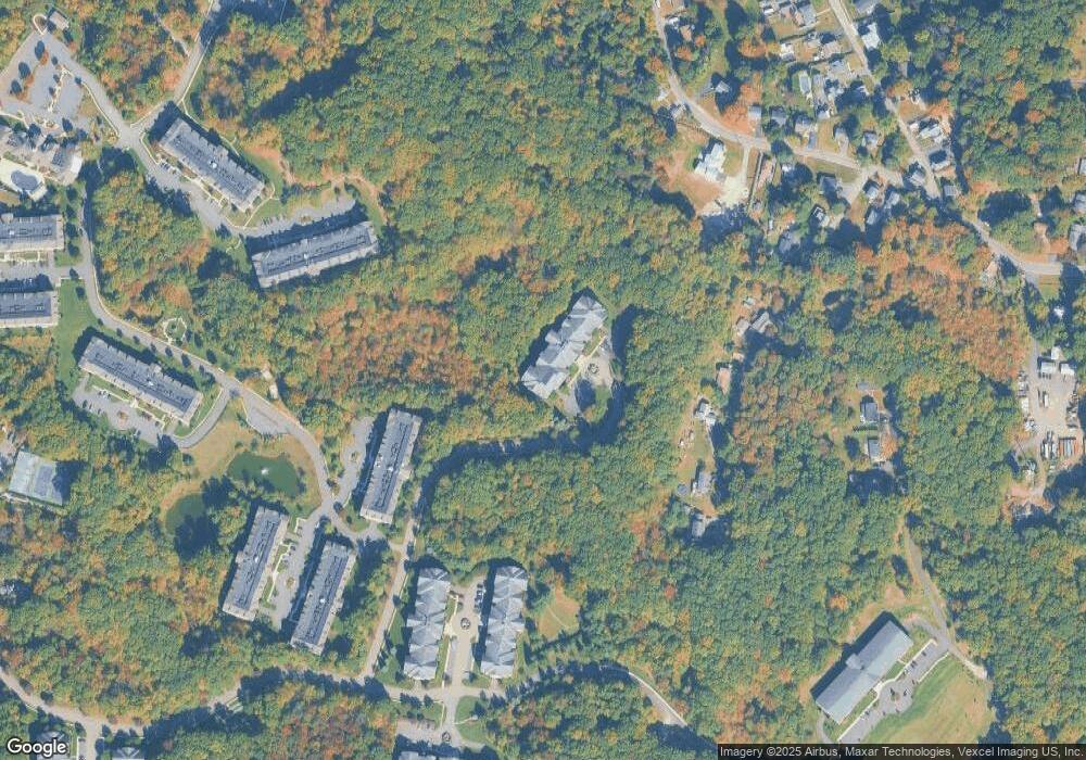
Map
Nearby Homes
- 1202 Hale Dr
- 1213 Hale Dr
- 2100 Johnson Dr Unit 1
- 2210 Johnson Dr
- 2309 Johnson Dr Unit 309
- 1110 Johnson Dr
- 7112 Polk Dr Unit 12
- 7311 Polk Dr
- 1313 Bush Cir
- 4309 Hoover Ln Unit 309
- 208 Fischer Ct
- 301 Fischer Ct Unit 301
- 313 Fischer Ct Unit 313
- 5307 Veterans Dr
- 1111 Clinton Ln Unit 111
- 1211 Clinton Ln
- 1129 Hamilton Dr
- 202 Cleveland Ln
- 204 Cleveland Ln
- 1202 Franklin Ln Unit 202
- 1204 Carter Dr
- 1103 Carter Dr
- 1303 Carter Dr
- 1104 Carter Dr
- 1304 Carter Dr
- 1201 Carter Dr
- 1205 Carter Dr
- 1101 Carter Dr
- 1301 Carter Dr
- 1105 Carter Dr
- 1305 Carter Dr
- 1206 Carter Dr
- 1306 Carter Dr
- 1106 Carter Dr
- 1207 Carter Dr
- 1107 Carter Dr
- 1307 Carter Dr Unit 307
- 1208 Carter Dr
- 1108 Carter Dr Unit 108
- 1209 Carter Dr