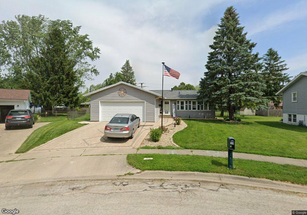
1203 E Apache Dr Pontiac, IL 61764
Estimated Value: $173,378 - $231,000
3
Beds
2
Baths
2,352
Sq Ft
$88/Sq Ft
Est. Value
About This Home
This home is located at 1203 E Apache Dr, Pontiac, IL 61764 and is currently estimated at $206,845, approximately $87 per square foot. 1203 E Apache Dr is a home located in Livingston County with nearby schools including Central Elementary School, Washington Elementary School, and Lincoln Elementary School.
Ownership History
Date
Name
Owned For
Owner Type
Purchase Details
Closed on
Apr 21, 2013
Sold by
Harston Brian
Bought by
Sorensen Francis A and Sorensen Robert L
Current Estimated Value
Home Financials for this Owner
Home Financials are based on the most recent Mortgage that was taken out on this home.
Original Mortgage
$98,400
Interest Rate
4.5%
Purchase Details
Closed on
Dec 28, 2011
Sold by
Kindelberger William
Bought by
Harston Brian
Home Financials for this Owner
Home Financials are based on the most recent Mortgage that was taken out on this home.
Original Mortgage
$116,500
Interest Rate
3.97%
Purchase Details
Closed on
May 11, 2009
Sold by
Kindelberger Robin M
Bought by
Kindelberger William D
Create a Home Valuation Report for This Property
The Home Valuation Report is an in-depth analysis detailing your home's value as well as a comparison with similar homes in the area
Home Values in the Area
Average Home Value in this Area
Purchase History
| Date | Buyer | Sale Price | Title Company |
|---|---|---|---|
| Sorensen Francis A | $123,000 | -- | |
| Harston Brian | $116,500 | -- | |
| Kindelberger William D | -- | -- |
Source: Public Records
Mortgage History
| Date | Status | Borrower | Loan Amount |
|---|---|---|---|
| Closed | Sorensen Francis A | $18,450 | |
| Previous Owner | Sorensen Francis A | $98,400 | |
| Previous Owner | Harston Brian | $116,500 |
Source: Public Records
Tax History
| Year | Tax Paid | Tax Assessment Tax Assessment Total Assessment is a certain percentage of the fair market value that is determined by local assessors to be the total taxable value of land and additions on the property. | Land | Improvement |
|---|---|---|---|---|
| 2024 | $3,981 | $49,052 | $5,496 | $43,556 |
| 2023 | $3,841 | $45,886 | $5,141 | $40,745 |
| 2022 | $4,184 | $47,606 | $5,141 | $42,465 |
| 2021 | $4,046 | $45,775 | $4,943 | $40,832 |
| 2020 | $3,991 | $44,398 | $4,794 | $39,604 |
| 2019 | $3,874 | $42,454 | $4,584 | $37,870 |
| 2018 | $3,615 | $40,264 | $4,630 | $35,634 |
| 2017 | $3,521 | $39,470 | $4,625 | $34,845 |
| 2016 | $3,544 | $39,949 | $4,681 | $35,268 |
| 2015 | $3,580 | $39,949 | $4,681 | $35,268 |
| 2013 | -- | $34,872 | $5,016 | $29,856 |
Source: Public Records
Map
Nearby Homes
- 1306 E Kirkwood Dr
- 801 E Mckinley St
- 709 E Meade St
- 1111 N Bell Ave
- 918 N Hazel St
- 929 E Water St
- 804 N Walnut St
- 702 E Timber St
- 529 E Timber St
- 417 E Timber St
- 616 E Madison St
- 205 N Crestview Dr
- 423 E Payson St
- 415 N Locust St
- 765 N Main St
- 205 E Howard St
- 945 N Mill St
- 101 E Grove St
- Lot 14 W Sherman Ave
- 16780 N 1130 E Rd
- 1205 E Apache Dr
- 1201 E Apache Dr
- 1206 E Kirkwood Dr
- 1204 E Kirkwood Dr
- 806 N Mohave Dr
- 808 N Mohave Dr
- 810 N Mohave Dr
- 812 N Mohave Dr
- 807 N Mohave Dr
- 811 N Mohave Dr
- 821 N Mohave Dr
- 1207 E Apache Dr
- 1210 E Kirkwood Dr
- 1202 E Kirkwood Dr
- 1208 E Kirkwood Dr
- 820 N Mohave Dr
- 819 N Mohave Dr
- 906 N Illini Ave
- 901 N Seminole Dr
- 1208 E Apache Dr
Your Personal Tour Guide
Ask me questions while you tour the home.