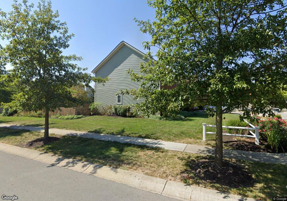
1203 Pawtucket Dr Westfield, IN 46074
Estimated Value: $484,000 - $570,000
4
Beds
3
Baths
3,758
Sq Ft
$140/Sq Ft
Est. Value
About This Home
This home is located at 1203 Pawtucket Dr, Westfield, IN 46074 and is currently estimated at $526,298, approximately $140 per square foot. 1203 Pawtucket Dr is a home located in Hamilton County with nearby schools including Maple Glen Elementary, Westfield Intermediate School, and Westfield Middle School.
Ownership History
Date
Name
Owned For
Owner Type
Purchase Details
Closed on
Apr 1, 2024
Sold by
Wade Ara D & Diane M
Bought by
Ara D And Diane M Wade Living Trust and Wade
Current Estimated Value
Purchase Details
Closed on
Oct 4, 2007
Sold by
Christman Paul K
Bought by
Wade Ara D and Wade Diane M
Home Financials for this Owner
Home Financials are based on the most recent Mortgage that was taken out on this home.
Original Mortgage
$224,000
Interest Rate
6.44%
Mortgage Type
Purchase Money Mortgage
Purchase Details
Closed on
Sep 20, 2005
Sold by
The Estridge Group Inc
Bought by
Christman Paul K
Purchase Details
Closed on
Dec 30, 2003
Sold by
Cec Associates Llc
Bought by
The Estridge Group Inc
Home Financials for this Owner
Home Financials are based on the most recent Mortgage that was taken out on this home.
Original Mortgage
$22,000,000
Interest Rate
5.91%
Mortgage Type
Purchase Money Mortgage
Create a Home Valuation Report for This Property
The Home Valuation Report is an in-depth analysis detailing your home's value as well as a comparison with similar homes in the area
Home Values in the Area
Average Home Value in this Area
Purchase History
| Date | Buyer | Sale Price | Title Company |
|---|---|---|---|
| Ara D And Diane M Wade Living Trust | -- | None Listed On Document | |
| Wade Ara D | -- | First American Title Ins Co | |
| Christman Paul K | -- | -- | |
| The Estridge Group Inc | -- | -- |
Source: Public Records
Mortgage History
| Date | Status | Borrower | Loan Amount |
|---|---|---|---|
| Previous Owner | Wade Ara D | $224,000 | |
| Previous Owner | The Estridge Group Inc | $22,000,000 |
Source: Public Records
Tax History Compared to Growth
Tax History
| Year | Tax Paid | Tax Assessment Tax Assessment Total Assessment is a certain percentage of the fair market value that is determined by local assessors to be the total taxable value of land and additions on the property. | Land | Improvement |
|---|---|---|---|---|
| 2024 | $5,014 | $436,000 | $63,700 | $372,300 |
| 2023 | $5,079 | $440,700 | $63,700 | $377,000 |
| 2022 | $4,501 | $387,500 | $63,700 | $323,800 |
| 2021 | $4,069 | $335,600 | $63,700 | $271,900 |
| 2020 | $4,097 | $334,600 | $63,700 | $270,900 |
| 2019 | $3,922 | $320,500 | $46,500 | $274,000 |
| 2018 | $3,830 | $306,100 | $46,500 | $259,600 |
| 2017 | $3,335 | $294,600 | $46,500 | $248,100 |
| 2016 | $3,323 | $293,500 | $46,500 | $247,000 |
| 2014 | $3,081 | $274,500 | $46,500 | $228,000 |
| 2013 | $3,081 | $258,700 | $46,500 | $212,200 |
Source: Public Records
Map
Nearby Homes
- 1204 Middlebury Dr
- 2175 Ryder Place
- 1471 Avondale Dr
- 809 Stockbridge Dr
- 15564 Bethesda Cir
- 15706 Maybell Ln
- 1539 Ballast Ave
- 14995 Pollard Dr
- 15865 W Rail Dr
- 15448 Heatherbank Dr
- 15657 Hush Hickory Bend
- 15728 Allure Dr
- 14936 Annabel Ct
- 1739 W 156th St
- 1401 Farmhouse Dr
- 14843 Bixby Dr
- 1255 W 161st St
- 14913 Stonneger St
- 1923 Ponsonby Dr
- 564 Zephyr Way
- 1217 Pawtucket Dr
- 15409 Smithfield Dr
- 1226 Lewiston Dr
- 15422 Smithfield Dr
- 1212 Lewiston Dr
- 15417 Smithfield Dr
- 1231 Pawtucket Dr
- 1222 Pawtucket Dr
- 1222 Pawtucket Dr Unit 4
- 15424 Smithfield Dr
- 1224 Pawtucket Dr
- 1240 Lewiston Dr
- 1226 Pawtucket Dr
- 15426 Smithfield Dr
- 15403 Smithfield Dr
- 1228 Pawtucket Dr
- 1228 Pawtucket Dr Unit 1
- 1245 Pawtucket Dr
- 15428 Smithfield Dr
- 1254 Lewiston Dr