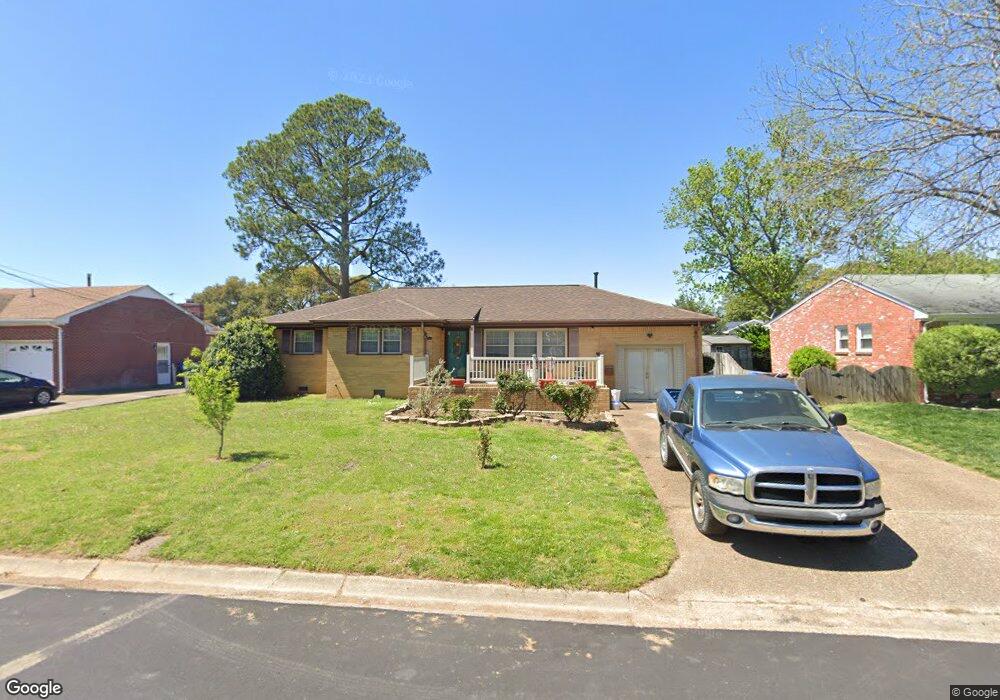
1203 Point Reel Rd Chesapeake, VA 23325
Indian River NeighborhoodEstimated Value: $371,000 - $406,000
3
Beds
4
Baths
1,921
Sq Ft
$200/Sq Ft
Est. Value
About This Home
This home is located at 1203 Point Reel Rd, Chesapeake, VA 23325 and is currently estimated at $384,754, approximately $200 per square foot. 1203 Point Reel Rd is a home located in Chesapeake City with nearby schools including Norfolk Highlands Primary School, Sparrow Road Intermediate School, and Indian River Middle.
Ownership History
Date
Name
Owned For
Owner Type
Purchase Details
Closed on
Apr 27, 2017
Sold by
Moore Chassidy D
Bought by
Powers Sandra P and Powers Neil B
Current Estimated Value
Home Financials for this Owner
Home Financials are based on the most recent Mortgage that was taken out on this home.
Original Mortgage
$223,807
Outstanding Balance
$187,221
Interest Rate
4.23%
Mortgage Type
VA
Estimated Equity
$198,388
Purchase Details
Closed on
Mar 24, 2016
Sold by
Sessoms Eleanor
Bought by
Moore Chassidy D
Create a Home Valuation Report for This Property
The Home Valuation Report is an in-depth analysis detailing your home's value as well as a comparison with similar homes in the area
Home Values in the Area
Average Home Value in this Area
Purchase History
| Date | Buyer | Sale Price | Title Company |
|---|---|---|---|
| Powers Sandra P | $235,500 | Attorney | |
| Moore Chassidy D | $227,000 | Liberty Title & Escrow Co |
Source: Public Records
Mortgage History
| Date | Status | Borrower | Loan Amount |
|---|---|---|---|
| Open | Powers Sandra P | $223,807 |
Source: Public Records
Tax History Compared to Growth
Tax History
| Year | Tax Paid | Tax Assessment Tax Assessment Total Assessment is a certain percentage of the fair market value that is determined by local assessors to be the total taxable value of land and additions on the property. | Land | Improvement |
|---|---|---|---|---|
| 2025 | $3,372 | $338,500 | $140,000 | $198,500 |
| 2024 | $3,372 | $333,900 | $130,000 | $203,900 |
| 2023 | $2,932 | $312,800 | $120,000 | $192,800 |
| 2022 | $2,948 | $291,900 | $110,000 | $181,900 |
| 2021 | $2,672 | $254,500 | $90,000 | $164,500 |
| 2020 | $2,688 | $256,000 | $90,000 | $166,000 |
| 2019 | $2,607 | $248,300 | $90,000 | $158,300 |
| 2018 | $2,508 | $225,300 | $90,000 | $135,300 |
| 2017 | $2,434 | $231,800 | $90,000 | $141,800 |
| 2016 | $2,366 | $225,300 | $90,000 | $135,300 |
| 2015 | $2,366 | $225,300 | $90,000 | $135,300 |
| 2014 | $2,366 | $225,300 | $90,000 | $135,300 |
Source: Public Records
Map
Nearby Homes
- 1202 Frosty Rd
- 1204 Myrtle Ave
- 3700 Cornick Ave
- 3006 Menands Dr
- Lot Angora Dr
- 1504 Chestnut Ave
- 1427 Myrtle Ave
- 3005 Scotia Dr
- 1425 Myrtle Ave
- 402 Stalham Rd Unit A
- 506 Stalham Rd
- 1400 Hazel Ave
- 305 Keith Ct
- 3303 Rokeby Ave
- 708 Stalham Rd
- 1615 Oleander Ave
- 512 Kemp Ln
- 502 Mooney Rd
- 1208 Willow Ave
- 2915 Berkley Ave
- 1205 Point Reel Rd
- 1201 Point Reel Rd
- 1220 Davis Ave
- 1222 Davis Ave
- 1207 Point Reel Rd
- 1204 Point Reel Rd
- 1202 Point Reel Rd
- 1224 Davis Ave
- 1206 Point Reel Rd
- 1200 Point Reel Rd
- 1215 Davis Ave
- 1219 Davis Ave
- 1209 Point Reel Rd
- 1208 Point Reel Rd
- 1226 Davis Ave
- 1221 Davis Ave
- 1211 Davis Ave
- 1205 Frosty Rd
- 1203 Frosty Rd
- 1207 Frosty Rd