Estimated Value: $115,000 - $147,000
3
Beds
1
Bath
1,082
Sq Ft
$128/Sq Ft
Est. Value
About This Home
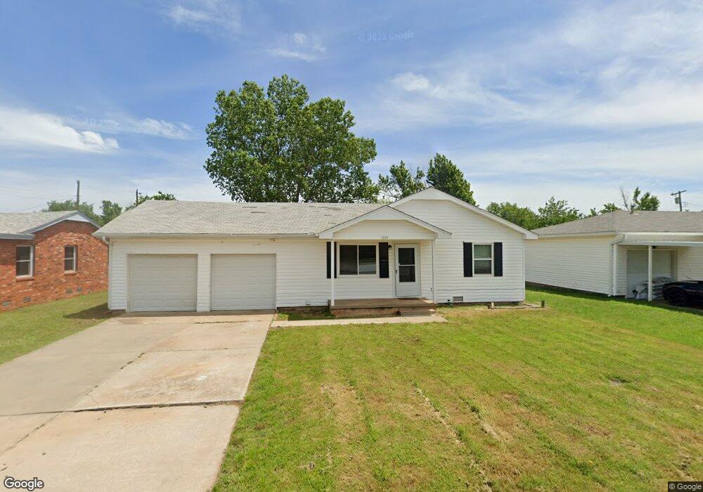
This home is located at 1203 S 1st St, Yukon, OK 73099 and is currently estimated at $137,959, approximately $127 per square foot. 1203 S 1st St is a home located in Canadian County with nearby schools including Myers Elementary School, Independence Elementary School, and Yukon Middle School.
Ownership History
Date
Name
Owned For
Owner Type
Purchase Details
Closed on
Jun 26, 2024
Sold by
Spillers Robert D and Spillers 401K Plan
Bought by
Fling Legacy Llc
Current Estimated Value
Purchase Details
Closed on
Oct 11, 2013
Sold by
Anderson Betty J
Bought by
Spillers Robert D and Spillers Cathy D
Purchase Details
Closed on
Nov 6, 2000
Sold by
Miller,Tina L Suc Trustee
Purchase Details
Closed on
Feb 13, 1995
Sold by
Pugh Richard E and Pugh Lorene L
Purchase Details
Closed on
Aug 9, 1991
Purchase Details
Closed on
Jul 27, 1991
Purchase Details
Closed on
Jul 26, 1991
Purchase Details
Closed on
Jul 25, 1991
Create a Home Valuation Report for This Property
The Home Valuation Report is an in-depth analysis detailing your home's value as well as a comparison with similar homes in the area
Home Values in the Area
Average Home Value in this Area
Purchase History
| Date | Buyer | Sale Price | Title Company |
|---|---|---|---|
| Fling Legacy Llc | $95,000 | American Security Title | |
| Spillers Robert D | $76,000 | Old Republic Title Co Of Ok | |
| -- | $45,000 | -- | |
| -- | -- | -- | |
| -- | -- | -- | |
| -- | -- | -- | |
| -- | $10,000 | -- | |
| -- | $10,000 | -- | |
| -- | $5,000 | -- |
Source: Public Records
Tax History Compared to Growth
Tax History
| Year | Tax Paid | Tax Assessment Tax Assessment Total Assessment is a certain percentage of the fair market value that is determined by local assessors to be the total taxable value of land and additions on the property. | Land | Improvement |
|---|---|---|---|---|
| 2024 | $1,219 | $11,813 | $1,980 | $9,833 |
| 2023 | $1,219 | $11,251 | $1,980 | $9,271 |
| 2022 | $1,166 | $10,715 | $1,980 | $8,735 |
| 2021 | $1,114 | $10,205 | $1,980 | $8,225 |
| 2020 | $1,048 | $9,719 | $1,980 | $7,739 |
| 2019 | $1,047 | $9,681 | $1,980 | $7,701 |
| 2018 | $1,000 | $9,220 | $1,980 | $7,240 |
| 2017 | $1,001 | $9,225 | $1,980 | $7,245 |
| 2016 | $978 | $9,008 | $1,980 | $7,028 |
| 2015 | -- | $8,714 | $1,980 | $6,734 |
| 2014 | -- | $8,808 | $1,980 | $6,828 |
Source: Public Records
Map
Nearby Homes
- 117 Asbill Ave
- 1005 S 3rd St
- 11200 SW 32nd St
- 0 Landon Ln
- 501 Queensboro Place
- 1308 Holly Ave
- 508 Kingston Dr
- 201 Vine St
- 414 Yukon Ave
- 608 Queensboro Place
- 11501 NW 97th St
- 10401 NW 33rd St
- 11020 SW 34th Terrace
- 114 Larry Ave
- 301 Fay Ave
- 14512 Rochefort Ln
- 14524 Giverny Ln
- 14500 Giverny Ln
- 1805 Janeen St
- 502 Walnut Ave
- 1201 S 1st St
- 1205 S 1st St
- 1207 S 1st St
- 114 Asbill Ave
- 116 Asbill Ave
- 112 Belisle Ave
- 110 Belisle Ave
- 1209 S 1st St
- 114 Belisle Ave
- 109 Belisle Ave
- 110 Asbill Ave
- 1211 S 1st St
- 116 Belisle Ave
- 108 Asbill Ave
- 107 Belisle Ave
- 1213 S 1st St
- 118 Belisle Ave
- 115 Asbill Ave
- 201 Asbill Ave
- 113 Asbill Ave