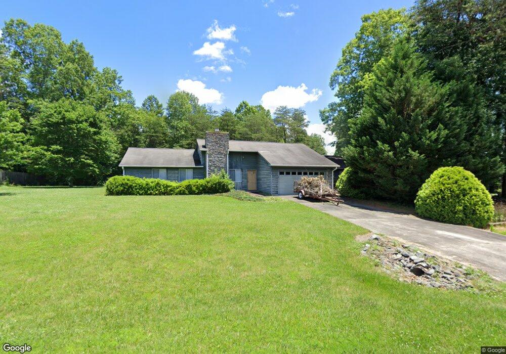
1203 Spring Dr Tobaccoville, NC 27050
Estimated Value: $238,000 - $287,000
3
Beds
2
Baths
1,440
Sq Ft
$182/Sq Ft
Est. Value
About This Home
This home is located at 1203 Spring Dr, Tobaccoville, NC 27050 and is currently estimated at $262,219, approximately $182 per square foot. 1203 Spring Dr is a home located in Stokes County with nearby schools including King Elementary School, Chestnut Grove Middle, and West Stokes High.
Ownership History
Date
Name
Owned For
Owner Type
Purchase Details
Closed on
Nov 25, 2024
Sold by
Miller Jackson David and Miller James Edward
Bought by
Miller James Edward
Current Estimated Value
Purchase Details
Closed on
Aug 21, 2008
Sold by
Venable Donald Gray
Bought by
Miller Jackson D and Miller Margaret R
Home Financials for this Owner
Home Financials are based on the most recent Mortgage that was taken out on this home.
Original Mortgage
$115,000
Interest Rate
6.32%
Mortgage Type
Purchase Money Mortgage
Create a Home Valuation Report for This Property
The Home Valuation Report is an in-depth analysis detailing your home's value as well as a comparison with similar homes in the area
Home Values in the Area
Average Home Value in this Area
Purchase History
| Date | Buyer | Sale Price | Title Company |
|---|---|---|---|
| Miller James Edward | -- | None Listed On Document | |
| Miller James Edward | -- | None Listed On Document | |
| Miller James Edward | -- | None Listed On Document | |
| Miller Jackson D | $165,000 | None Available |
Source: Public Records
Mortgage History
| Date | Status | Borrower | Loan Amount |
|---|---|---|---|
| Previous Owner | Miller Jackson D | $115,000 |
Source: Public Records
Tax History Compared to Growth
Tax History
| Year | Tax Paid | Tax Assessment Tax Assessment Total Assessment is a certain percentage of the fair market value that is determined by local assessors to be the total taxable value of land and additions on the property. | Land | Improvement |
|---|---|---|---|---|
| 2025 | $1,700 | $237,700 | $28,600 | $209,100 |
| 2024 | $1,700 | $167,800 | $25,700 | $142,100 |
| 2023 | $1,359 | $167,800 | $25,700 | $142,100 |
| 2022 | $1,242 | $167,800 | $25,700 | $142,100 |
| 2021 | $1,242 | $167,800 | $25,700 | $142,100 |
| 2020 | $1,106 | $149,400 | $24,700 | $124,700 |
| 2019 | $1,106 | $149,400 | $24,700 | $124,700 |
| 2018 | $1,106 | $149,400 | $24,700 | $124,700 |
| 2017 | $1,098 | $149,400 | $24,700 | $124,700 |
| 2016 | $1,072 | $145,800 | $24,700 | $121,100 |
| 2015 | $1,064 | $145,800 | $24,700 | $121,100 |
| 2014 | $1,077 | $145,800 | $24,700 | $121,100 |
Source: Public Records
Map
Nearby Homes
- 1026 Rierson Rd
- 1471 W Westmoreland Rd
- 1494 W Westmoreland Rd
- 1048 Jessica Ln
- 101 Hemlock Ct
- 140 Little Brook Dr
- 101 Maple Ln
- 137 Dewsberry Rd
- 1280 River Bluff Trail
- 1040 Oxford Ln
- 8484 Austin Hill Ln
- Ashe Plan at Applewood
- Cary Plan at Applewood
- Graham Plan at Applewood
- Aaron Plan at Applewood
- Davidson Plan at Applewood
- 123 Macintosh Dr
- 202-4 Acres Roby Fulk Rd
- 109 Courtland Dr
- 115 Courtland Dr
- 1143 Rierson Rd
- 1209 Spring Dr
- 1173 Rierson Rd
- 1208 Spring Dr
- 1215 Spring Dr
- 2 Spring Dr
- 1 Spring Dr
- 1213 Spring Dr
- 1128 Rierson Rd
- 1188 Rierson Rd
- 1216 Spring Dr
- 1133 Rierson Rd
- 1102 Rierson Rd
- 1099 Rierson Rd
- 1219 Autumn Dr
- 619 Autumn Dr
- 1217 Rierson Rd
- 1220 Spring Dr
- 1.39 Rierson Rd 1 39
- 1137 Rierson Rd