Estimated Value: $45,403 - $138,000
--
Bed
--
Bath
1,044
Sq Ft
$77/Sq Ft
Est. Value
About This Home
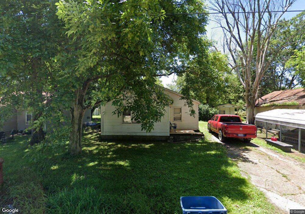
This home is located at 1203 W Lincoln St, Hayti, MO 63851 and is currently estimated at $80,101, approximately $76 per square foot. 1203 W Lincoln St is a home with nearby schools including Mathis Elementary School, Wallace Elementary School, and Hayti High School.
Ownership History
Date
Name
Owned For
Owner Type
Purchase Details
Closed on
Nov 22, 2022
Sold by
Scott Donyell
Bought by
Robinson Michael Vincent
Current Estimated Value
Purchase Details
Closed on
Dec 17, 2013
Sold by
Lannie Marcus J
Bought by
Robinson Rickey and Robinson Tobia
Home Financials for this Owner
Home Financials are based on the most recent Mortgage that was taken out on this home.
Original Mortgage
$13,332
Interest Rate
4.21%
Mortgage Type
Purchase Money Mortgage
Create a Home Valuation Report for This Property
The Home Valuation Report is an in-depth analysis detailing your home's value as well as a comparison with similar homes in the area
Home Values in the Area
Average Home Value in this Area
Purchase History
| Date | Buyer | Sale Price | Title Company |
|---|---|---|---|
| Robinson Michael Vincent | -- | -- | |
| Scott Donyell | -- | -- | |
| Robinson Michael Vincent | -- | None Listed On Document | |
| Robinson Rickey | -- | None Available |
Source: Public Records
Mortgage History
| Date | Status | Borrower | Loan Amount |
|---|---|---|---|
| Previous Owner | Robinson Rickey | $13,332 |
Source: Public Records
Tax History Compared to Growth
Tax History
| Year | Tax Paid | Tax Assessment Tax Assessment Total Assessment is a certain percentage of the fair market value that is determined by local assessors to be the total taxable value of land and additions on the property. | Land | Improvement |
|---|---|---|---|---|
| 2024 | $220 | $3,680 | $0 | $0 |
| 2023 | $216 | $3,680 | $0 | $0 |
| 2022 | $197 | $3,370 | $0 | $0 |
| 2021 | $196 | $3,370 | $0 | $0 |
| 2020 | $196 | $3,370 | $0 | $0 |
| 2019 | $193 | $3,370 | $0 | $0 |
| 2018 | $186 | $3,370 | $0 | $0 |
| 2017 | $186 | $3,370 | $0 | $0 |
| 2016 | -- | $3,370 | $0 | $0 |
| 2015 | -- | $2,860 | $0 | $0 |
| 2013 | -- | $2,860 | $0 | $0 |
Source: Public Records
Map
Nearby Homes
- . W Washington St
- 301 E Jackson St
- 604 N 3rd St
- 1014 S Klinkhardt St
- 0 Highway 412
- 600 E Reed St
- 0 County Road 406
- 0 County Road 263 Unit MIS25048822
- 1206 Zaida Ave
- 1209 Zaida Ave
- 1212 Collins Ave
- 0 State Highway U
- 802 Beckwith Ave
- 707 Beckwith Ave
- 1200 Grand Ave
- 0 County Road 421
- 406 W 4th St
- 607 Cotton Ave
- 313 W 11th St
- 311 W 11th St
- 1204 W Lincoln St
- 1201A W Lincoln St
- 1202 W Lincoln St
- 1113 W Lincoln St
- 1111 W Lincoln St
- 1401 W Lincoln St
- 1209 W Lincoln St
- 1405 W Lincoln St
- 1004 W Lincoln St
- 1109 W Washington St
- 135 Ash St
- 1302 W Washington St
- 1107 W Washington St
- 1410 W Lincoln St
- 1200 W Washington St
- 1411 W Washington St
- 770 W Main St
- 1400 W Washington St
- 4204 State Highway B
- 498 W Main St