1203 W Side Rd Block Island, RI 02807
Estimated Value: $1,986,353 - $2,582,000
5
Beds
4
Baths
1,853
Sq Ft
$1,213/Sq Ft
Est. Value
About This Home
This home is located at 1203 W Side Rd, Block Island, RI 02807 and is currently estimated at $2,247,088, approximately $1,212 per square foot. 1203 W Side Rd is a home with nearby schools including Block Island School.
Ownership History
Date
Name
Owned For
Owner Type
Purchase Details
Closed on
Sep 9, 2016
Sold by
Gaudette 2Nd Gerald L
Bought by
Quinn Jennifer H
Current Estimated Value
Purchase Details
Closed on
Mar 28, 2016
Sold by
Gaudette Barbara H
Bought by
Quinn Jennifer H
Create a Home Valuation Report for This Property
The Home Valuation Report is an in-depth analysis detailing your home's value as well as a comparison with similar homes in the area
Home Values in the Area
Average Home Value in this Area
Purchase History
| Date | Buyer | Sale Price | Title Company |
|---|---|---|---|
| Quinn Jennifer H | $203,800 | -- | |
| Quinn Jennifer H | -- | -- | |
| Quinn Jennifer H | -- | -- | |
| Gerald L Gaudette T L | -- | -- | |
| Craig Tracy A | -- | -- |
Source: Public Records
Tax History Compared to Growth
Tax History
| Year | Tax Paid | Tax Assessment Tax Assessment Total Assessment is a certain percentage of the fair market value that is determined by local assessors to be the total taxable value of land and additions on the property. | Land | Improvement |
|---|---|---|---|---|
| 2024 | $8,814 | $1,596,800 | $876,300 | $720,500 |
| 2023 | $9,384 | $1,558,800 | $876,300 | $682,500 |
| 2022 | $7,323 | $1,034,320 | $778,640 | $255,680 |
| 2021 | $6,930 | $1,034,320 | $778,640 | $255,680 |
| 2020 | $6,578 | $1,034,320 | $778,640 | $255,680 |
| 2019 | $6,371 | $1,034,320 | $778,640 | $255,680 |
| 2018 | $6,218 | $1,044,960 | $752,480 | $292,480 |
| 2017 | $6,123 | $1,044,960 | $752,480 | $292,480 |
| 2016 | $5,977 | $1,044,960 | $752,480 | $292,480 |
| 2015 | $7,273 | $1,320,000 | $940,600 | $379,400 |
| 2014 | $7,049 | $1,320,000 | $940,600 | $379,400 |
| 2013 | $6,877 | $1,320,000 | $940,600 | $379,400 |
Source: Public Records
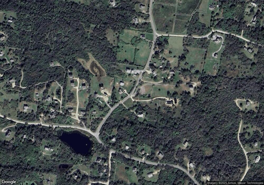
Map
Nearby Homes
- 481 Old Town Rd
- 1501 Beacon Hill Rd
- 0 Coast Guard Rd
- 1743 Corn Neck Rd
- 256 High St
- 1289 High St
- 1713 Corn Neck Rd
- 1720 Corn Neck Rd
- 1087 Lakeside Dr
- 1210 Graces Cove Rd
- 1557 W Side Rd
- 194 Pilot Hill Rd
- 1661 Sand Pond Rd
- 1596 W Side Rd
- 0 Spring St
- 0 Southeast Rd Unit 1381406
- 0 Pilot Hill Rd
- 804 Mohegan Trail
- 721 Corn Neck Rd
- 1448 Mohegan Trail
- 1202 W Side Rd
- 1204 W Side Rd
- 1205 Trims Ridge Rd
- 787 Snake Hole Rd
- 1205 W Side Rd
- 1205 Trim's Ridge
- 1206 W Side Rd
- 1200 W Side Rd
- 1207 W Side Rd
- 1208 W Side Rd
- 1267 W Side Rd
- 838 Center Rd
- 20 Off West Side Rd
- 31 W Side Rd
- 993 Beach Ave
- 832 Ocean Ave
- 1299 Ocean Ave
- 1158 Ocean Ave
- 1016 Center Rd
- 1274 Center Rd