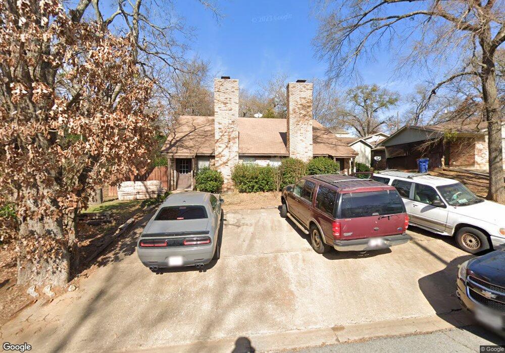
1203 W Texas St Unit 1205 Denison, TX 75020
Estimated Value: $282,000
--
Bed
--
Bath
2,255
Sq Ft
$125/Sq Ft
Est. Value
About This Home
This home is located at 1203 W Texas St Unit 1205, Denison, TX 75020 and is currently estimated at $282,000, approximately $125 per square foot. 1203 W Texas St Unit 1205 is a home located in Grayson County with nearby schools including Houston Elementary School, Scott Middle School, and Denison High School.
Ownership History
Date
Name
Owned For
Owner Type
Purchase Details
Closed on
Apr 19, 2023
Sold by
Texan Mutual Llc
Bought by
Minerva4s Services Llc
Current Estimated Value
Home Financials for this Owner
Home Financials are based on the most recent Mortgage that was taken out on this home.
Original Mortgage
$137,000
Outstanding Balance
$133,282
Interest Rate
6.73%
Mortgage Type
New Conventional
Estimated Equity
$148,718
Purchase Details
Closed on
Jan 13, 2012
Sold by
Beatty Charles M and Beatty Margaret
Bought by
Franks Helen
Create a Home Valuation Report for This Property
The Home Valuation Report is an in-depth analysis detailing your home's value as well as a comparison with similar homes in the area
Home Values in the Area
Average Home Value in this Area
Purchase History
| Date | Buyer | Sale Price | Title Company |
|---|---|---|---|
| Minerva4s Services Llc | -- | Spartan Title | |
| Franks Helen | -- | Grayson County Title |
Source: Public Records
Mortgage History
| Date | Status | Borrower | Loan Amount |
|---|---|---|---|
| Open | Minerva4s Services Llc | $137,000 |
Source: Public Records
Tax History Compared to Growth
Tax History
| Year | Tax Paid | Tax Assessment Tax Assessment Total Assessment is a certain percentage of the fair market value that is determined by local assessors to be the total taxable value of land and additions on the property. | Land | Improvement |
|---|---|---|---|---|
| 2025 | $3,973 | $171,000 | $45,000 | $126,000 |
| 2024 | $3,973 | $171,000 | $45,000 | $126,000 |
| 2023 | $3,447 | $152,131 | $34,425 | $117,706 |
| 2022 | $3,209 | $135,079 | $29,138 | $105,941 |
| 2021 | $3,211 | $127,330 | $21,488 | $105,842 |
| 2020 | $3,504 | $132,852 | $21,488 | $111,364 |
| 2019 | $3,584 | $130,242 | $21,488 | $108,754 |
| 2018 | $3,189 | $114,961 | $16,875 | $98,086 |
| 2017 | $2,803 | $100,176 | $13,275 | $86,901 |
| 2016 | $2,736 | $97,785 | $10,350 | $87,435 |
| 2015 | $0 | $100,033 | $10,350 | $89,683 |
| 2014 | -- | $100,033 | $10,350 | $89,683 |
Source: Public Records
Map
Nearby Homes
- 1315 W Hull St
- 1109 S Chandler Ave
- 1007 S Scullin Ave
- 1131 W Shepherd St
- 901 W Munson St
- 1224 W Nelson St
- 919 W Day St
- 1301 S Scullin Ave
- 1031 W Acheson St
- 1217 W Nelson St
- 904 W Shepherd St
- TBD W Texas St
- 1401 W Texas St
- 0000 W Texas St
- 1011 S Armstrong Ave
- 1510 W Heron St
- 1508 W Shepherd St
- 830 W Shepherd St
- 908 W Murray St
- 501 S Eddy Ave
- 1203 W Texas St
- 1013 S Perry Ave
- 1205 W Texas St
- 1009 S Perry Ave
- 1219 W Texas St
- 1214 W Hull St
- 1101 S Perry Ave
- 1221 W Texas St
- 1030 S Perry Ave
- 1020 S Perry Ave
- 1011 S Perry Ave
- 1011 S Perry Ave Unit 1011 & 1013
- 1100 S Perry Ave
- 1115 S Perry Ave
- 1126 W Hull St
- 1128 W Texas St
- 1227 W Texas St
- 1123 W Texas St
- 1220 W Texas St
- 1126 W Texas St