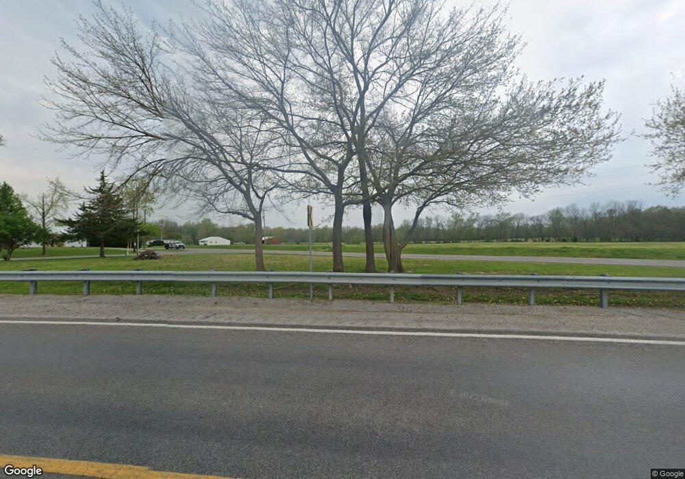
12030 State Route 154 Sparta, IL 62286
Estimated Value: $12,721 - $120,000
--
Bed
--
Bath
--
Sq Ft
0.42
Acres
About This Home
This home is located at 12030 State Route 154, Sparta, IL 62286 and is currently estimated at $50,907. 12030 State Route 154 is a home located in Randolph County with nearby schools including Sparta High School.
Ownership History
Date
Name
Owned For
Owner Type
Purchase Details
Closed on
Aug 9, 2021
Sold by
Loucks Shain A
Bought by
Wilson William R and Wilson Sharon K
Current Estimated Value
Purchase Details
Closed on
Dec 21, 2019
Sold by
Loucks Clarence A
Bought by
Loucks Shain A
Purchase Details
Closed on
Nov 13, 2017
Sold by
Mccarson Eva J
Bought by
Clarence A Loucks Sr Estate
Purchase Details
Closed on
Dec 6, 2012
Sold by
Collins Milton
Bought by
Loucks Clarence A and Loucks Eva J
Create a Home Valuation Report for This Property
The Home Valuation Report is an in-depth analysis detailing your home's value as well as a comparison with similar homes in the area
Home Values in the Area
Average Home Value in this Area
Purchase History
| Date | Buyer | Sale Price | Title Company |
|---|---|---|---|
| Wilson William R | $10,000 | None Available | |
| Loucks Shain A | $25,000 | None Available | |
| Clarence A Loucks Sr Estate | -- | -- | |
| Loucks Clarence A | -- | None Available |
Source: Public Records
Tax History Compared to Growth
Tax History
| Year | Tax Paid | Tax Assessment Tax Assessment Total Assessment is a certain percentage of the fair market value that is determined by local assessors to be the total taxable value of land and additions on the property. | Land | Improvement |
|---|---|---|---|---|
| 2024 | $258 | $3,485 | $3,485 | $0 |
| 2023 | $240 | $3,240 | $3,240 | $0 |
| 2022 | $73 | $1,115 | $1,115 | $0 |
| 2021 | $359 | $9,925 | $1,040 | $8,885 |
| 2020 | $327 | $10,161 | $1,063 | $9,098 |
| 2019 | $325 | $9,095 | $950 | $8,145 |
| 2018 | $328 | $10,027 | $1,047 | $8,980 |
| 2017 | $301 | $9,180 | $960 | $8,220 |
| 2016 | $340 | $8,845 | $925 | $7,920 |
| 2015 | $338 | $8,845 | $925 | $7,920 |
| 2014 | $338 | $9,020 | $945 | $8,075 |
| 2013 | $601 | $9,130 | $955 | $8,175 |
Source: Public Records
Map
Nearby Homes
- 1019 E Broadway St
- 540 E Broadway St
- 510 E Main St
- 216 S Dickey St
- 712 E Harrison St
- 1019 E Main St
- 520 E Mound St
- 115 W 4th St
- 105 S Washington
- 321 S Market St
- 410 S Saint Louis St
- 332 S Saint Louis St
- 140&142 W Broadway
- 255 Delwood Dr
- 9199 Schupbach Rd
- 501 N Market St
- 336 W Jackson St
- 515 N Market St
- 801 N Market St
- 0 Flamingo Dr
- 8290 Eden Rd
- 8275 Eden Rd
- 12020 State Route 154
- 12015 State Route 154
- 8265 Eden Rd
- 12049 Illinois 154
- 8192 Eden Rd
- 12171 State Route 154
- 12012 Moffat Rd
- 12032 Moffat Rd
- 11967 Moffat Rd
- 11981 Moffat Rd
- 11951 Moffat Rd
- 11980 State Route 154
- 8541 Bradford St
- 11836 Moffat Rd
- 11854 Spring St
- 8521 Village Rd
- 11848 Spring St
- 8550 Francene St
