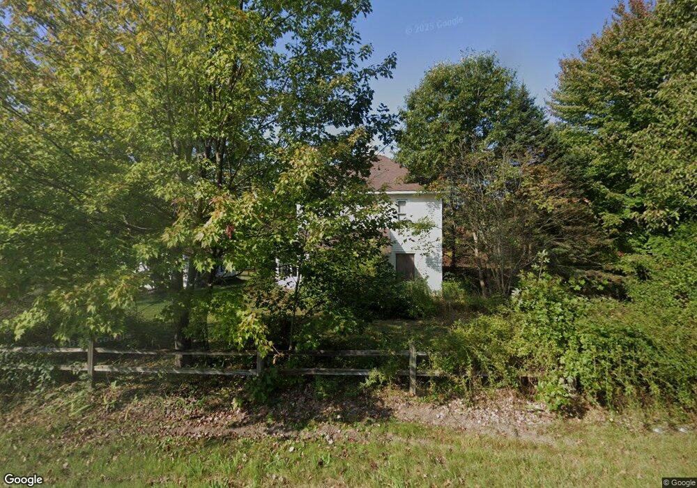
12031 N Division Ave Sparta, MI 49345
Estimated Value: $318,831 - $373,000
4
Beds
1
Bath
2,072
Sq Ft
$164/Sq Ft
Est. Value
About This Home
This home is located at 12031 N Division Ave, Sparta, MI 49345 and is currently estimated at $339,708, approximately $163 per square foot. 12031 N Division Ave is a home located in Kent County with nearby schools including Ridgeview Elementary School, Appleview Elementary School, and Sparta Middle School.
Ownership History
Date
Name
Owned For
Owner Type
Purchase Details
Closed on
Aug 12, 2013
Sold by
Poling Lary L
Bought by
Poling Tina M
Current Estimated Value
Home Financials for this Owner
Home Financials are based on the most recent Mortgage that was taken out on this home.
Original Mortgage
$84,500
Outstanding Balance
$54,464
Interest Rate
4.29%
Mortgage Type
New Conventional
Estimated Equity
$285,244
Purchase Details
Closed on
Oct 28, 1998
Sold by
Graub Ninna Irene
Bought by
Poling Lary L and Poling Tina M
Create a Home Valuation Report for This Property
The Home Valuation Report is an in-depth analysis detailing your home's value as well as a comparison with similar homes in the area
Home Values in the Area
Average Home Value in this Area
Purchase History
| Date | Buyer | Sale Price | Title Company |
|---|---|---|---|
| Poling Tina M | -- | None Available | |
| Poling Lary L | $100,000 | -- |
Source: Public Records
Mortgage History
| Date | Status | Borrower | Loan Amount |
|---|---|---|---|
| Open | Poling Tina M | $84,500 |
Source: Public Records
Tax History Compared to Growth
Tax History
| Year | Tax Paid | Tax Assessment Tax Assessment Total Assessment is a certain percentage of the fair market value that is determined by local assessors to be the total taxable value of land and additions on the property. | Land | Improvement |
|---|---|---|---|---|
| 2025 | $1,484 | $141,000 | $0 | $0 |
| 2024 | $1,484 | $131,300 | $0 | $0 |
| 2023 | $1,419 | $119,800 | $0 | $0 |
| 2022 | $1,840 | $100,000 | $0 | $0 |
| 2021 | $1,791 | $80,400 | $0 | $0 |
| 2020 | $1,306 | $76,300 | $0 | $0 |
| 2019 | $1,749 | $71,700 | $0 | $0 |
| 2018 | $1,713 | $65,500 | $0 | $0 |
| 2017 | $1,666 | $59,500 | $0 | $0 |
| 2016 | $1,603 | $57,300 | $0 | $0 |
| 2015 | -- | $57,300 | $0 | $0 |
| 2013 | -- | $54,700 | $0 | $0 |
Source: Public Records
Map
Nearby Homes
- 168 Toby Rd NW
- 195 Toby Rd NW
- 17 Warbler Dr
- 143 Toby Rd NW
- 144 Toby Rd NW
- 190 Toby Rd NW
- 11717 Maywood Dr NE
- 124 Toby Rd NW
- 15 15 Mile Rd NW
- 255 15 Mile Rd NW
- 13 15 Mile Rd NW
- 221 Circle Dr Unit 221
- 68 Viking Dr NW
- 26 Traveler Dr NW
- 91 Traveler Dr NW Unit 91
- 83 Viking Dr NW
- 451 Cumings Ct NW
- 3 Happy End Dr Unit 3
- 480 Cumings Ct NW
- 12010 N Division Ave
- 12032 N Division Ave
- 12050 N Division Ave
- 12066 N Division Ave
- 22 Lapan Dr
- 12090 N Division Ave
- 11920 N Division Ave
- 11995 Camp Lake Dr NE
- 51 Lapan Dr
- 11965 Roxbury Dr NE
- 0 Camp Lake Unit 11015758
- 11966 Roxbury Dr NE
- 11996 Camp Lake Dr NE
- 11955 N Division Ave
- 11975 Camp Lake Dr NE
- Parcel 2 N Division Ave
- 12002 Leasure Dr NE
- 11963 Camp Lake Dr NE
- 12031 Leasure Dr
- 11955 Camp Lake Dr NE