12031 Shady Creek Dr Whitney, TX 76692
Estimated Value: $265,000 - $311,000
3
Beds
3
Baths
1,638
Sq Ft
$174/Sq Ft
Est. Value
About This Home
This home is located at 12031 Shady Creek Dr, Whitney, TX 76692 and is currently estimated at $285,604, approximately $174 per square foot. 12031 Shady Creek Dr is a home located in Hill County with nearby schools including Whitney Elementary School, Whitney Intermediate School, and Whitney Middle School.
Ownership History
Date
Name
Owned For
Owner Type
Purchase Details
Closed on
Mar 8, 2022
Sold by
Ryan Kudrna Matthew and Ryan Elizabeth Bailey
Bought by
Giessinger Darin A and Giessinger Dorothy A
Current Estimated Value
Purchase Details
Closed on
Sep 30, 2020
Sold by
Hendricks Aaron D and Hendricks Elissa N
Bought by
Kudrna Matthew Ryan and Kudrna Bailey Elizabeth
Home Financials for this Owner
Home Financials are based on the most recent Mortgage that was taken out on this home.
Original Mortgage
$171,000
Interest Rate
2.9%
Mortgage Type
New Conventional
Purchase Details
Closed on
Jul 1, 2015
Sold by
Matts Thomas C and Matts Patricia A
Bought by
Hendricks Aaron D and Hendricks Elissa N
Home Financials for this Owner
Home Financials are based on the most recent Mortgage that was taken out on this home.
Original Mortgage
$92,800
Interest Rate
3.9%
Mortgage Type
Purchase Money Mortgage
Create a Home Valuation Report for This Property
The Home Valuation Report is an in-depth analysis detailing your home's value as well as a comparison with similar homes in the area
Home Values in the Area
Average Home Value in this Area
Purchase History
| Date | Buyer | Sale Price | Title Company |
|---|---|---|---|
| Giessinger Darin A | -- | Gary D Tully Pc | |
| Kudrna Matthew Ryan | -- | None Available | |
| Hendricks Aaron D | -- | Micro Title Hill County Llc |
Source: Public Records
Mortgage History
| Date | Status | Borrower | Loan Amount |
|---|---|---|---|
| Previous Owner | Kudrna Matthew Ryan | $171,000 | |
| Previous Owner | Hendricks Aaron D | $92,800 |
Source: Public Records
Tax History Compared to Growth
Tax History
| Year | Tax Paid | Tax Assessment Tax Assessment Total Assessment is a certain percentage of the fair market value that is determined by local assessors to be the total taxable value of land and additions on the property. | Land | Improvement |
|---|---|---|---|---|
| 2025 | $3,172 | $206,880 | $13,180 | $193,700 |
| 2024 | $3,168 | $206,610 | $13,180 | $193,430 |
| 2023 | $3,114 | $200,030 | $13,180 | $186,850 |
| 2022 | $3,162 | $169,050 | $6,750 | $162,300 |
| 2021 | $3,101 | $145,910 | $6,750 | $139,160 |
| 2020 | $2,971 | $133,830 | $6,750 | $127,080 |
| 2019 | $3,033 | $130,460 | $5,970 | $124,490 |
| 2018 | $2,814 | $121,240 | $6,030 | $115,210 |
| 2017 | $2,915 | $124,430 | $6,070 | $118,360 |
| 2016 | $2,830 | $120,800 | $6,190 | $114,610 |
| 2015 | -- | $116,680 | $6,950 | $109,730 |
| 2014 | -- | $114,960 | $8,270 | $106,690 |
Source: Public Records
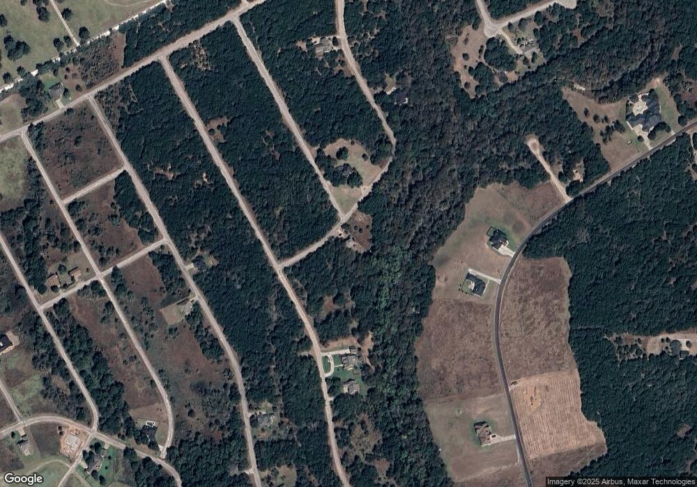
Map
Nearby Homes
- 12127 Trailwood Dr
- 12117 Oak Dale Dr
- 12028 Shady Creek & Trailwood Dr Dr
- 12045 Shady Creek Dr
- 12173 Rolling Oaks Dr
- 12101 Oak Dale Dr
- 12095 Shady Creek Dr
- 12121 Trailwood Dr
- 12166 Trailwood Dr
- 1680 Highland Dr
- 12060 Westmeadow Dr
- 22141 Stanwood Dr
- 22131 Stanwood Dr
- 22146 Stanwood Dr
- 12147 Trailwood Dr
- 12187 Rolling Oaks Dr
- 12065 Westmeadow Dr
- 12048 Shady Creek Dr
- 12119 Westmeadow Dr
- 12146 Trailwood Dr
- 12085 Shady Creek Dr
- 12110 Oak Dale Dr
- 12025 Trailwood Dr
- 12105 Oak Dale Dr
- 12106 Oak Dale Dr
- 12157 Trailwood Dr
- 12111 Oak Dale Dr
- 12103 Oak Dale Dr
- 12116 Oak Dale Dr
- 12112 Oak Dale Dr
- 12109 Oak Dale Dr
- 12024 Trailwood Dr
- 12159 Trailwood Dr
- 12040 Shady Creek Dr
- 12178 Rolling Oaks Dr
- 12023 Trailwood Dr
- 12160 Trailwood Dr
- 12125 Trailwood
- 12028 Shady Creek Dr
- 12037 Shady Creek Dr