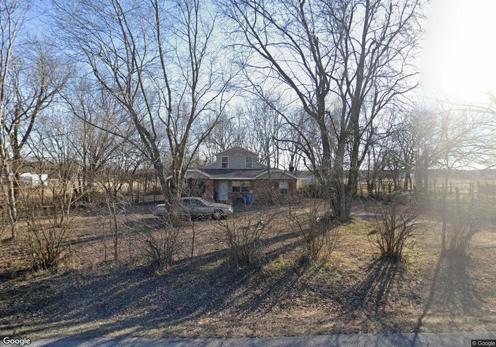
12032 Elm Rd Carthage, MO 64836
Estimated Value: $151,000 - $262,000
4
Beds
2
Baths
1,700
Sq Ft
$116/Sq Ft
Est. Value
About This Home
This home is located at 12032 Elm Rd, Carthage, MO 64836 and is currently estimated at $197,676, approximately $116 per square foot. 12032 Elm Rd is a home located in Jasper County with nearby schools including Carthage High School.
Ownership History
Date
Name
Owned For
Owner Type
Purchase Details
Closed on
Mar 13, 2007
Sold by
Morton Albert and Morton Jodi
Bought by
Us Bank Na
Current Estimated Value
Purchase Details
Closed on
Jun 6, 2006
Sold by
Parks Mabel Ann
Bought by
Morton Albert and Morton Jodi
Home Financials for this Owner
Home Financials are based on the most recent Mortgage that was taken out on this home.
Original Mortgage
$71,360
Interest Rate
8.92%
Mortgage Type
Fannie Mae Freddie Mac
Purchase Details
Closed on
Mar 29, 2004
Sold by
Deutsche Bank National Trust Co
Bought by
Parks Mabel Ann
Create a Home Valuation Report for This Property
The Home Valuation Report is an in-depth analysis detailing your home's value as well as a comparison with similar homes in the area
Home Values in the Area
Average Home Value in this Area
Purchase History
| Date | Buyer | Sale Price | Title Company |
|---|---|---|---|
| Us Bank Na | $75,493 | None Available | |
| Morton Albert | -- | Fatco | |
| Parks Mabel Ann | -- | -- |
Source: Public Records
Mortgage History
| Date | Status | Borrower | Loan Amount |
|---|---|---|---|
| Previous Owner | Morton Albert | $71,360 |
Source: Public Records
Tax History Compared to Growth
Tax History
| Year | Tax Paid | Tax Assessment Tax Assessment Total Assessment is a certain percentage of the fair market value that is determined by local assessors to be the total taxable value of land and additions on the property. | Land | Improvement |
|---|---|---|---|---|
| 2025 | $690 | $16,670 | $1,100 | $15,570 |
| 2024 | $690 | $14,750 | $1,100 | $13,650 |
| 2023 | $690 | $14,750 | $1,100 | $13,650 |
| 2022 | $674 | $14,460 | $1,100 | $13,360 |
| 2021 | $666 | $14,460 | $1,100 | $13,360 |
| 2020 | $643 | $13,420 | $1,100 | $12,320 |
| 2019 | $645 | $13,420 | $1,100 | $12,320 |
| 2018 | $606 | $12,640 | $0 | $0 |
| 2017 | $608 | $12,640 | $0 | $0 |
| 2016 | $630 | $13,140 | $0 | $0 |
| 2015 | $577 | $13,140 | $0 | $0 |
| 2014 | $577 | $13,140 | $0 | $0 |
Source: Public Records
Map
Nearby Homes
- 3951 County Lane 119
- 11884 Destination Ln
- 1720 E Fir Rd
- 11982 Gaiety Ln
- Tract 1 Daisy Rd & Cty Rd 110
- 1211 E Airport Dr
- 2166 Noah's Ark Ln
- 1314 Patrick Place
- NE COR Airport Dr & River
- 925 Gene Taylor Dr
- TBD George E Phelps Blvd
- 2141 Carrie St
- 2032 Alison St
- TBD Lexie Ln
- 909 Durward Hall Dr
- 739 Sheridan St
- 837 Modern Way
- Xxx Doctor Russell Smith Way
- Tbd Doctor Russell Smith Way
- XXXX Clinton
- 11936 Elm Rd
- 5130 County Road 120
- 11885 Elm Rd
- 11765 Elm Rd
- 12269 Elm Rd
- 12295 Elm Rd
- 11746 Elm Rd
- 12314 Elm Rd
- 4413 County Lane 122
- 11700 Elm Rd
- 5327 County Road 120
- 5277 County Road 120
- 5392 County Road 120
- 12385 Elm Rd
- 11568 Elm Rd
- 5379 County Road 120
- 11626 Elm Rd
- 11468 Elm Rd
- 12642 Elm Rd
- 11383 Elm Rd