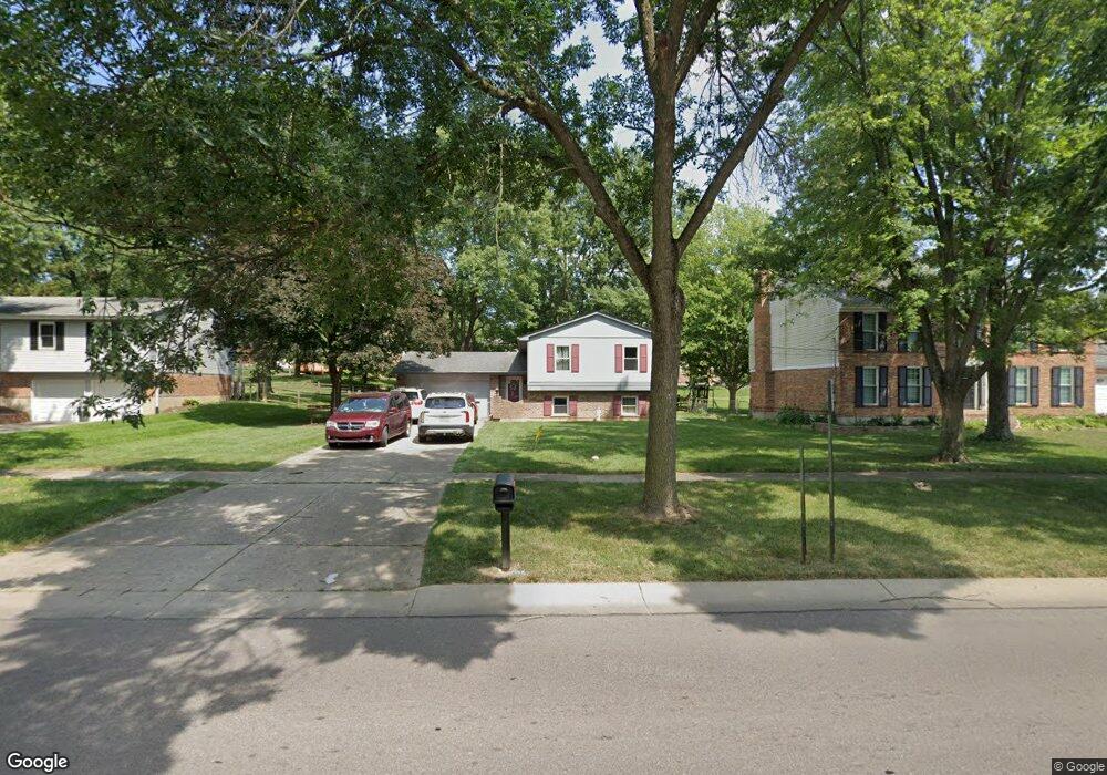
12032 Kenn Rd Cincinnati, OH 45240
Estimated Value: $275,000 - $316,000
4
Beds
2
Baths
1,867
Sq Ft
$158/Sq Ft
Est. Value
About This Home
This home is located at 12032 Kenn Rd, Cincinnati, OH 45240 and is currently estimated at $295,586, approximately $158 per square foot. 12032 Kenn Rd is a home located in Hamilton County with nearby schools including Springdale Elementary School, Princeton Community Middle School, and Princeton High School.
Ownership History
Date
Name
Owned For
Owner Type
Purchase Details
Closed on
Feb 22, 1991
Sold by
Jones Jimmie and Jones Geraldine
Bought by
Wise Brian D
Current Estimated Value
Create a Home Valuation Report for This Property
The Home Valuation Report is an in-depth analysis detailing your home's value as well as a comparison with similar homes in the area
Home Values in the Area
Average Home Value in this Area
Purchase History
| Date | Buyer | Sale Price | Title Company |
|---|---|---|---|
| Wise Brian D | $77,900 | -- |
Source: Public Records
Tax History
| Year | Tax Paid | Tax Assessment Tax Assessment Total Assessment is a certain percentage of the fair market value that is determined by local assessors to be the total taxable value of land and additions on the property. | Land | Improvement |
|---|---|---|---|---|
| 2025 | $3,562 | $71,016 | $13,675 | $57,341 |
| 2024 | $3,060 | $71,016 | $13,675 | $57,341 |
| 2023 | $3,067 | $71,016 | $13,675 | $57,341 |
| 2022 | $2,525 | $47,541 | $11,452 | $36,089 |
| 2021 | $2,455 | $47,541 | $11,452 | $36,089 |
| 2020 | $2,486 | $47,541 | $11,452 | $36,089 |
| 2019 | $2,300 | $40,636 | $9,790 | $30,846 |
| 2018 | $2,164 | $40,636 | $9,790 | $30,846 |
| 2017 | $2,031 | $40,636 | $9,790 | $30,846 |
| 2016 | $1,723 | $34,216 | $10,227 | $23,989 |
| 2015 | $1,740 | $34,216 | $10,227 | $23,989 |
| 2014 | $1,746 | $34,216 | $10,227 | $23,989 |
| 2013 | $1,816 | $36,400 | $10,878 | $25,522 |
Source: Public Records
Map
Nearby Homes
- 12069 Cantrell Dr
- 11839 Hamlet Rd
- 805 Halesworth Dr
- 3311 Greenwich Dr
- 694 Park Ave
- 3323 Devonian Dr
- 12091 Hitchcock Dr
- 993 Havensport Dr
- 13 Caribou Ct
- 18 Oakwood Ct
- 22 Oakwood Ct
- 10 Woodside Ct
- 3721 Mack Rd
- 604 Smiley Ave
- 3700 Mack Rd
- 38 Providence Dr
- 1040 Olde Station Ct
- 11481 Fremantle Dr
- 11431 Fremantle Dr
- 52 Applewood Dr
- 12022 Kenn Rd
- 12042 Kenn Rd
- 12031 Chardon Ln
- 12012 Kenn Rd
- 12031 Chardon La
- 12052 Kenn Rd
- 12021 Chardon Ln
- 12041 Chardon Ln
- 12011 Chardon Ln
- 12051 Chardon Ln
- 12021 Kenn Rd
- 12002 Kenn Rd
- 12062 Kenn Rd
- 12011 Kenn Rd
- 12001 Chardon Ln
- 12051 Kenn Rd
- 12061 Chardon Ln
- 11992 Kenn Rd
- 12001 Kenn Rd
- 741 Yorkhaven Rd
Your Personal Tour Guide
Ask me questions while you tour the home.