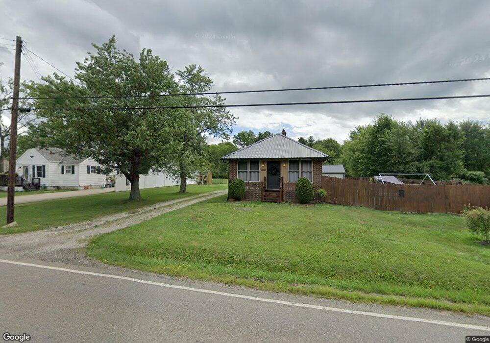
12032 Rockhill Ave NE Alliance, OH 44601
Estimated Value: $81,000 - $143,000
2
Beds
1
Bath
704
Sq Ft
$145/Sq Ft
Est. Value
About This Home
This home is located at 12032 Rockhill Ave NE, Alliance, OH 44601 and is currently estimated at $102,056, approximately $144 per square foot. 12032 Rockhill Ave NE is a home located in Stark County with nearby schools including Marlington High School and Regina Coeli/St Joseph School.
Ownership History
Date
Name
Owned For
Owner Type
Purchase Details
Closed on
Dec 19, 2005
Sold by
Gragg Rodney R and Gragg Cindy S
Bought by
Ruff Joshua A
Current Estimated Value
Home Financials for this Owner
Home Financials are based on the most recent Mortgage that was taken out on this home.
Original Mortgage
$74,411
Outstanding Balance
$41,806
Interest Rate
6.36%
Mortgage Type
FHA
Estimated Equity
$60,250
Purchase Details
Closed on
Aug 3, 2004
Sold by
Gragg Marci and Gragg Brian
Bought by
Gragg Rodney R and Gragg Cindy S
Purchase Details
Closed on
Jun 27, 2003
Sold by
Simmons Wilma M
Bought by
Frank Marci and Gragg Brian
Home Financials for this Owner
Home Financials are based on the most recent Mortgage that was taken out on this home.
Original Mortgage
$50,000
Interest Rate
5.51%
Mortgage Type
Purchase Money Mortgage
Purchase Details
Closed on
Nov 29, 2000
Sold by
Simmons Wilma M
Bought by
Simmons Wilma M
Create a Home Valuation Report for This Property
The Home Valuation Report is an in-depth analysis detailing your home's value as well as a comparison with similar homes in the area
Home Values in the Area
Average Home Value in this Area
Purchase History
| Date | Buyer | Sale Price | Title Company |
|---|---|---|---|
| Ruff Joshua A | $75,000 | -- | |
| Gragg Rodney R | -- | -- | |
| Frank Marci | $47,000 | Union Title Co | |
| Simmons Wilma M | -- | -- | |
| Simmons Wilma M | -- | -- |
Source: Public Records
Mortgage History
| Date | Status | Borrower | Loan Amount |
|---|---|---|---|
| Open | Ruff Joshua A | $74,411 | |
| Previous Owner | Frank Marci | $50,000 |
Source: Public Records
Tax History Compared to Growth
Tax History
| Year | Tax Paid | Tax Assessment Tax Assessment Total Assessment is a certain percentage of the fair market value that is determined by local assessors to be the total taxable value of land and additions on the property. | Land | Improvement |
|---|---|---|---|---|
| 2025 | -- | $20,620 | $7,000 | $13,620 |
| 2024 | -- | $20,620 | $7,000 | $13,620 |
| 2023 | $713 | $20,240 | $5,570 | $14,670 |
| 2022 | $715 | $20,240 | $5,570 | $14,670 |
| 2021 | $718 | $20,240 | $5,570 | $14,670 |
| 2020 | $676 | $16,980 | $4,800 | $12,180 |
| 2019 | $671 | $16,990 | $4,800 | $12,190 |
| 2018 | $672 | $16,990 | $4,800 | $12,190 |
| 2017 | $602 | $14,250 | $3,540 | $10,710 |
| 2016 | $603 | $14,250 | $3,540 | $10,710 |
| 2015 | $574 | $14,250 | $3,540 | $10,710 |
| 2014 | $582 | $13,200 | $3,330 | $9,870 |
| 2013 | $289 | $13,200 | $3,330 | $9,870 |
Source: Public Records
Map
Nearby Homes
- 14723 Bolton St NE
- 14422 Sturbridge Rd NE
- 0 Johnson Ave NE Unit 5142926
- 0 Homestead Ave NE
- 0 Klinger Ave NE
- 0 Meadowbrook Ave
- 11680 Walnut Ave NE
- 000 Meadowbrook Ave
- 15520 Coalbank St NE
- 11344 Walnut Ave NE
- 000 Klinger Ave
- 0 Knoll St NE
- 15995 Elbrook St NE
- 15789 Coalbank St NE
- 432 Johnson Ave
- 11310 Webb Ave NE
- 124 E Wayne St
- 11480 Aebi Ave NE
- 511 W Ely St
- 710 N Freedom Ave
- 12034 Rockhill Ave NE
- 12000 Rockhill Ave NE
- 12050 Rockhill Ave NE
- 12001 Rockhill Ave NE
- 12061 Rockhill Ave NE
- 12080 Rockhill Ave NE
- 11979 Rockhill Ave NE
- 14776 Cedar St NE
- 12091 Rockhill Ave NE
- 14747 Hemlock St NE
- 12111 Rockhill Ave NE
- 14761 Cedar St NE
- 12120 Rockhill Ave NE
- 12123 Rockhill Ave NE
- 14720 Cedar St NE
- 11909 Rockhill Ave NE
- 14750 Wilson St NE
- 14700 Cedar St NE
- 12154 Rockhill Ave NE
- 14721 Cedar St NE