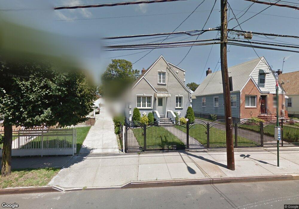
12033 Farmers Blvd Saint Albans, NY 11412
Saint Albans NeighborhoodEstimated Value: $687,000 - $782,000
--
Bed
--
Bath
1,112
Sq Ft
$658/Sq Ft
Est. Value
About This Home
This home is located at 12033 Farmers Blvd, Saint Albans, NY 11412 and is currently estimated at $732,103, approximately $658 per square foot. 12033 Farmers Blvd is a home located in Queens County with nearby schools including P.S. 15 Jackie Robinson, Is 59 Springfield Gardens, and Riverton Street Charter School.
Ownership History
Date
Name
Owned For
Owner Type
Purchase Details
Closed on
Nov 15, 2011
Sold by
Dejesus Hazel and Dejesus Richard
Bought by
Daniel Lisa
Current Estimated Value
Home Financials for this Owner
Home Financials are based on the most recent Mortgage that was taken out on this home.
Original Mortgage
$331,381
Outstanding Balance
$225,861
Interest Rate
4.01%
Mortgage Type
Purchase Money Mortgage
Estimated Equity
$506,242
Purchase Details
Closed on
Aug 8, 2002
Sold by
Phillips Tonya
Bought by
Monte Dacosta
Create a Home Valuation Report for This Property
The Home Valuation Report is an in-depth analysis detailing your home's value as well as a comparison with similar homes in the area
Home Values in the Area
Average Home Value in this Area
Purchase History
| Date | Buyer | Sale Price | Title Company |
|---|---|---|---|
| Daniel Lisa | $340,000 | -- | |
| Monte Dacosta | -- | -- |
Source: Public Records
Mortgage History
| Date | Status | Borrower | Loan Amount |
|---|---|---|---|
| Open | Daniel Lisa | $331,381 |
Source: Public Records
Tax History Compared to Growth
Tax History
| Year | Tax Paid | Tax Assessment Tax Assessment Total Assessment is a certain percentage of the fair market value that is determined by local assessors to be the total taxable value of land and additions on the property. | Land | Improvement |
|---|---|---|---|---|
| 2025 | $5,423 | $28,615 | $7,746 | $20,869 |
| 2024 | $5,435 | $28,398 | $8,342 | $20,056 |
| 2023 | $5,100 | $26,791 | $7,822 | $18,969 |
| 2022 | $4,759 | $33,060 | $11,580 | $21,480 |
| 2021 | $4,722 | $34,860 | $11,580 | $23,280 |
| 2020 | $4,751 | $30,600 | $11,580 | $19,020 |
| 2019 | $4,658 | $26,220 | $11,580 | $14,640 |
| 2018 | $4,254 | $22,326 | $8,830 | $13,496 |
| 2017 | $3,994 | $21,063 | $9,772 | $11,291 |
| 2016 | $3,663 | $21,063 | $9,772 | $11,291 |
| 2015 | $2,177 | $19,872 | $10,876 | $8,996 |
| 2014 | $2,177 | $19,722 | $10,794 | $8,928 |
Source: Public Records
Map
Nearby Homes
- 188-51 120th Rd
- 18822 119th Ave
- 12133 Grayson St
- 179-01 120th Ave
- 191-07 121st Ave
- 17955 Anderson Rd
- 179-50 Anderson Rd
- 179-47 Zoller Rd
- 120-44 192nd St
- 191-11 119th Ave
- 19009 122nd Ave
- 191-15 119th Ave
- 122-22 Nellis St
- 11984 178th Place
- 11819 179th St
- 191-01 122nd Ave
- 17918 Selover Rd
- 119-44 193rd St
- 178-10 Leslie Rd
- 118-18 190th St
- 12029 Farmers Blvd
- 12037 Farmers Blvd
- 120-29 Farmers Blvd
- 18711 121st Ave
- 120-25 Farmers Blvd
- 12025 Farmers Blvd
- 120-41 Farmers Blvd
- 12041 Farmers Blvd
- 18814 120th Rd
- 187-10 121st Ave
- 18717 121st Ave
- 18818 120th Rd
- 188-18 120th Rd Unit 1st FL
- 188-18 120th Rd
- 18818 120th Rd
- 18803 121st Ave
- 18629 121st Ave
- 186-29 121st Ave
- 120-11 Farmers Blvd
- 121-03 Farmers Blvd