12036 Sticklertown Rd Corning, NY 14830
Estimated Value: $244,000 - $388,820
3
Beds
2
Baths
1,612
Sq Ft
$192/Sq Ft
Est. Value
About This Home
This home is located at 12036 Sticklertown Rd, Corning, NY 14830 and is currently estimated at $309,205, approximately $191 per square foot. 12036 Sticklertown Rd is a home with nearby schools including William E. Severn Elementary School, Corning-Painted Post Middle School, and Corning-Painted Post High School.
Ownership History
Date
Name
Owned For
Owner Type
Purchase Details
Closed on
Dec 18, 2015
Sold by
Corning Federal Credit Union
Bought by
Youngs Mark S and Youngs
Current Estimated Value
Purchase Details
Closed on
Oct 1, 2009
Sold by
Kilsdonk Linda
Bought by
Kilsdonk Ralph
Purchase Details
Closed on
Mar 1, 2001
Sold by
Petrucelli Kevin V
Bought by
Cotton Linda
Create a Home Valuation Report for This Property
The Home Valuation Report is an in-depth analysis detailing your home's value as well as a comparison with similar homes in the area
Home Values in the Area
Average Home Value in this Area
Purchase History
| Date | Buyer | Sale Price | Title Company |
|---|---|---|---|
| Youngs Mark S | $47,000 | Mark Weiermiller | |
| Youngs Mark S | $47,000 | Mark Weiermiller | |
| Kilsdonk Ralph | -- | Steven Barnstead | |
| Kilsdonk Ralph | -- | Steven Barnstead | |
| Cotton Linda | $17,000 | Mark Weiermiller | |
| Cotton Linda | $17,000 | Mark Weiermiller |
Source: Public Records
Tax History Compared to Growth
Tax History
| Year | Tax Paid | Tax Assessment Tax Assessment Total Assessment is a certain percentage of the fair market value that is determined by local assessors to be the total taxable value of land and additions on the property. | Land | Improvement |
|---|---|---|---|---|
| 2024 | $10,097 | $241,500 | $27,800 | $213,700 |
| 2023 | $7,785 | $64,100 | $36,100 | $28,000 |
| 2022 | $2,532 | $64,100 | $36,100 | $28,000 |
| 2021 | $2,557 | $64,100 | $36,100 | $28,000 |
| 2020 | $975 | $39,100 | $36,100 | $3,000 |
| 2019 | $143 | $39,100 | $36,100 | $3,000 |
| 2018 | $1,428 | $39,100 | $36,100 | $3,000 |
| 2017 | $1,321 | $36,100 | $36,100 | $0 |
| 2016 | $1,291 | $36,100 | $36,100 | $0 |
| 2015 | -- | $43,400 | $43,400 | $0 |
| 2014 | -- | $43,400 | $43,400 | $0 |
Source: Public Records
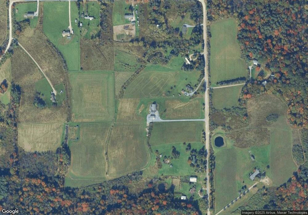
Map
Nearby Homes
- 1749 Brown Hollow Rd
- 1735 Lightfoot Ln
- 356 Steege Hill Rd
- 670 Steege Hill Rd
- 560 Steege Hill Rd
- 2614 Morrcrest Dr
- 11948 River Rd
- 11955 River Rd
- 1860 Whiskey Creek Rd
- 689 Steege Hill Rd
- 11357 River Rd
- 891 Dutch Hill Rd
- 12017 Birch Dr
- 2609 King Cir
- 11014 Wolcott Rd
- 0 Caton Rd Unit R1637646
- 0 Caton Rd Unit R1640864
- 2085 Caton Rd
- 1238 Caton Rd
- 1653 Caton Rd
- 11848 Sticklertown Rd
- 12064 Sticklertown Rd
- 11894 Sticklertown Rd
- 12016 Sticklertown Rd
- 12076 Sticklertown Rd
- 12098 Sticklertown Rd
- 11936 Sticklertown Rd
- 11812 Sticklertown Rd
- 11876 Sticklertown Rd
- 11950 Sticklertown Rd
- 11905 Sticklertown Rd
- 12091 Sticklertown Rd
- 11867 Sticklertown Rd
- 12111 Sticklertown Rd
- 1741 Seyter Rd
- 12021 Sticklertown Rd
- 1167 Seyter Rd
- 12005 Shane Rd
- 12137 Sticklertown Rd
- 12006 Shane Rd