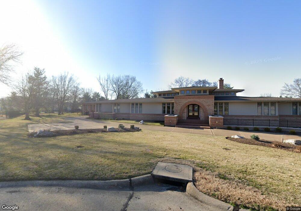
12037 Gailcrest Ln Saint Louis, MO 63131
Estimated Value: $2,371,069 - $2,704,000
4
Beds
8
Baths
8,417
Sq Ft
$298/Sq Ft
Est. Value
About This Home
This home is located at 12037 Gailcrest Ln, Saint Louis, MO 63131 and is currently estimated at $2,506,023, approximately $297 per square foot. 12037 Gailcrest Ln is a home located in St. Louis County with nearby schools including Mason Ridge Elementary School, Parkway West Middle School, and Parkway West High School.
Ownership History
Date
Name
Owned For
Owner Type
Purchase Details
Closed on
Mar 20, 2024
Sold by
Pappas Kim S
Bought by
Kim S Pappas Revocable Living Trust and Pappas
Current Estimated Value
Purchase Details
Closed on
Apr 17, 2017
Sold by
Pappas Thomas George and Pappas Kim S
Bought by
Pappas Thomas George and Pappas Kim S
Purchase Details
Closed on
Jun 19, 2003
Sold by
Pappas Thomas G and Pappas Kim S
Bought by
Trust Of Thomas George Pappas
Home Financials for this Owner
Home Financials are based on the most recent Mortgage that was taken out on this home.
Original Mortgage
$714,629
Interest Rate
5.44%
Mortgage Type
Purchase Money Mortgage
Create a Home Valuation Report for This Property
The Home Valuation Report is an in-depth analysis detailing your home's value as well as a comparison with similar homes in the area
Home Values in the Area
Average Home Value in this Area
Purchase History
| Date | Buyer | Sale Price | Title Company |
|---|---|---|---|
| Kim S Pappas Revocable Living Trust | -- | None Listed On Document | |
| Pappas Thomas George | -- | None Available | |
| Trust Of Thomas George Pappas | -- | -- | |
| Pappas Thomas G | -- | -- |
Source: Public Records
Mortgage History
| Date | Status | Borrower | Loan Amount |
|---|---|---|---|
| Previous Owner | Pappas Thomas G | $714,629 |
Source: Public Records
Tax History Compared to Growth
Tax History
| Year | Tax Paid | Tax Assessment Tax Assessment Total Assessment is a certain percentage of the fair market value that is determined by local assessors to be the total taxable value of land and additions on the property. | Land | Improvement |
|---|---|---|---|---|
| 2025 | $16,759 | $388,890 | $114,000 | $274,890 |
| 2024 | $16,759 | $285,000 | $91,200 | $193,800 |
| 2023 | $15,867 | $285,000 | $91,200 | $193,800 |
| 2022 | $17,455 | $285,000 | $79,800 | $205,200 |
| 2021 | $17,311 | $314,430 | $79,800 | $234,630 |
| 2020 | $18,708 | $294,500 | $73,150 | $221,350 |
| 2019 | $18,244 | $294,500 | $73,150 | $221,350 |
| 2018 | $16,552 | $247,000 | $73,150 | $173,850 |
| 2017 | $16,328 | $247,000 | $73,150 | $173,850 |
| 2016 | $17,176 | $258,800 | $62,700 | $196,100 |
| 2015 | $19,360 | $258,800 | $62,700 | $196,100 |
| 2014 | $15,668 | $227,010 | $95,570 | $131,440 |
Source: Public Records
Map
Nearby Homes
- TBB
- TBB Ballas Ridge Hawthorne II
- TBB Ballas Ridge Westchester IV
- TBB Ballas Ridge Roclare II
- TBB
- The Hawthorne Plan at Ballas Ridge
- The Roclare II Plan at Ballas Ridge
- The Westchester IV Plan at Ballas Ridge
- The Nottingham II Plan at Ballas Ridge
- The Hawthorne II Plan at Ballas Ridge
- 2056 N Ballas Rd
- 2062 N Ballas Rd
- 0 Unknown Unit 22071090
- 8 Briarbrook Trail
- 22 Countryside Ln
- 152 Frontenac Forest
- 5 W Point Ln
- 1728 Folkstone Dr
- 2409 N Ballas Rd
- 1741 Pine Hill Dr
- 12033 Chaltenham Dr
- 12027 Gailcrest Ln
- 12040 Gailcrest Ln
- 12041 Chaltenham Dr
- 2017 Bopp Rd
- 2009 Bopp Rd
- 11920 Spring Dr
- 12025 Chaltenham Dr
- 11925 Spring Dr
- 2100 Bopp Rd
- 11922 Crystal Dr
- 11921 Spring Dr
- 11916 Spring Dr
- 10 Doubletree Ln
- 12040 Chaltenham Dr
- 11919 Crystal Dr
- 2001 Bopp Rd
- 11915 Spring Dr
- 11912 Spring Dr
- 11914 Crystal Dr