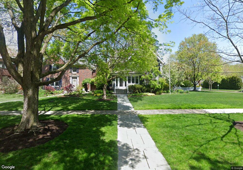
1204 Ashland Ave Wilmette, IL 60091
Estimated Value: $2,429,741 - $2,862,000
7
Beds
5
Baths
3,813
Sq Ft
$676/Sq Ft
Est. Value
About This Home
This home is located at 1204 Ashland Ave, Wilmette, IL 60091 and is currently estimated at $2,577,935, approximately $676 per square foot. 1204 Ashland Ave is a home located in Cook County with nearby schools including Central Elementary School, Highcrest Middle School, and Wilmette Junior High School.
Ownership History
Date
Name
Owned For
Owner Type
Purchase Details
Closed on
Feb 28, 2025
Sold by
Jamieson Michael and Jamieson Lisa
Bought by
Michael W Jamieson Revocable Trust and Lisa L Jamieson Revocable Trust
Current Estimated Value
Purchase Details
Closed on
Jan 23, 2007
Sold by
Schmiege Robert and Schmiege Jane M
Bought by
Jamieson Michael and Jamieson Lisa
Create a Home Valuation Report for This Property
The Home Valuation Report is an in-depth analysis detailing your home's value as well as a comparison with similar homes in the area
Home Values in the Area
Average Home Value in this Area
Purchase History
| Date | Buyer | Sale Price | Title Company |
|---|---|---|---|
| Michael W Jamieson Revocable Trust | -- | None Listed On Document | |
| Jamieson Michael | $1,550,000 | Multiple |
Source: Public Records
Tax History Compared to Growth
Tax History
| Year | Tax Paid | Tax Assessment Tax Assessment Total Assessment is a certain percentage of the fair market value that is determined by local assessors to be the total taxable value of land and additions on the property. | Land | Improvement |
|---|---|---|---|---|
| 2024 | $35,357 | $159,130 | $48,400 | $110,730 |
| 2023 | $33,443 | $159,130 | $48,400 | $110,730 |
| 2022 | $33,443 | $159,130 | $48,400 | $110,730 |
| 2021 | $29,217 | $115,793 | $42,240 | $73,553 |
| 2020 | $30,941 | $124,179 | $42,240 | $81,939 |
| 2019 | $30,009 | $134,978 | $42,240 | $92,738 |
| 2018 | $31,536 | $135,989 | $35,200 | $100,789 |
| 2017 | $30,677 | $135,989 | $35,200 | $100,789 |
| 2016 | $29,016 | $135,989 | $35,200 | $100,789 |
| 2015 | $25,934 | $107,089 | $29,040 | $78,049 |
| 2014 | $25,534 | $107,089 | $29,040 | $78,049 |
| 2013 | $24,371 | $107,089 | $29,040 | $78,049 |
Source: Public Records
Map
Nearby Homes
- 1120 Chestnut Ave
- 1118 Forest Ave
- 159 Abingdon Ave
- 1245 Richmond Ln
- 1241 Forest Ave
- 924 Chestnut Ave
- 145 Oxford Rd
- 330 Abbotsford Rd
- 830 Chestnut Ave
- 111 Oxford Rd
- 321 Leicester Rd
- 1227 16th St
- 819 Chestnut Ave
- 1630 Sheridan Rd Unit 3C
- 1630 Sheridan Rd Unit 4M
- 1630 Sheridan Rd Unit 8K
- 1630 Sheridan Rd Unit 2F
- 1630 Sheridan Rd Unit 2J
- 1630 Sheridan Rd Unit 5K
- 1616 Sheridan Rd Unit 9H
- 1208 Ashland Ave
- 1212 Ashland Ave
- 1136 Ashland Ave
- 1216 Ashland Ave
- 1201 Chestnut Ave
- 1211 Chestnut Ave
- 1132 Ashland Ave
- 1220 Ashland Ave
- 1215 Chestnut Ave
- 1141 Chestnut Ave
- 1203 Ashland Ave
- 1130 Ashland Ave
- 1226 Ashland Ave
- 1131 Chestnut Ave
- 1221 Chestnut Ave
- 1137 Ashland Ave
- 1219 Ashland Ave
- 1126 Ashland Ave
- 1133 Ashland Ave
- 1221 Ashland Ave