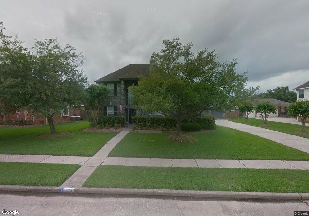
1204 Bob White Dr Friendswood, TX 77546
Estimated Value: $481,819 - $512,000
--
Bed
3
Baths
2,722
Sq Ft
$182/Sq Ft
Est. Value
About This Home
This home is located at 1204 Bob White Dr, Friendswood, TX 77546 and is currently estimated at $495,705, approximately $182 per square foot. 1204 Bob White Dr is a home located in Galveston County with nearby schools including C.W. Cline Elementary School, Windsong Elementary School, and Friendswood Junior High School.
Ownership History
Date
Name
Owned For
Owner Type
Purchase Details
Closed on
May 30, 2008
Sold by
Hunter Bruce A and Hunter Wendy A
Bought by
Hovorka Eddy J and Hovorka Melissa J
Current Estimated Value
Home Financials for this Owner
Home Financials are based on the most recent Mortgage that was taken out on this home.
Original Mortgage
$160,000
Interest Rate
5.89%
Mortgage Type
Purchase Money Mortgage
Create a Home Valuation Report for This Property
The Home Valuation Report is an in-depth analysis detailing your home's value as well as a comparison with similar homes in the area
Home Values in the Area
Average Home Value in this Area
Purchase History
| Date | Buyer | Sale Price | Title Company |
|---|---|---|---|
| Hovorka Eddy J | -- | South Land Title Co |
Source: Public Records
Mortgage History
| Date | Status | Borrower | Loan Amount |
|---|---|---|---|
| Closed | Hovorka Eddy J | $160,000 |
Source: Public Records
Tax History Compared to Growth
Tax History
| Year | Tax Paid | Tax Assessment Tax Assessment Total Assessment is a certain percentage of the fair market value that is determined by local assessors to be the total taxable value of land and additions on the property. | Land | Improvement |
|---|---|---|---|---|
| 2025 | $6,580 | $460,831 | -- | -- |
| 2024 | $6,580 | $418,937 | -- | -- |
| 2023 | $6,580 | $380,852 | $0 | $0 |
| 2022 | $7,626 | $346,229 | $0 | $0 |
| 2021 | $7,352 | $373,270 | $46,790 | $326,480 |
| 2020 | $6,894 | $286,140 | $46,790 | $239,350 |
| 2019 | $8,044 | $316,800 | $46,790 | $270,010 |
| 2018 | $8,296 | $324,790 | $46,790 | $278,000 |
| 2017 | $7,834 | $324,790 | $46,790 | $278,000 |
| 2016 | $7,122 | $304,250 | $46,790 | $257,460 |
| 2015 | $2,265 | $277,860 | $46,790 | $231,070 |
| 2014 | $2,132 | $226,640 | $46,790 | $179,850 |
Source: Public Records
Map
Nearby Homes
- 1906 Blue Quail Dr
- 1802 Creekside Dr
- 1010 High Ridge Dr
- 1217 Red Wing Dr
- 1305 Edgewater Dr
- 1608 Keystone Dr
- 705 High Ridge Dr
- 1606 Falcon Ridge Blvd
- 506 Lakeside Ln
- 1531 Briar Bend Dr
- 505 Hunters Ln
- 1804 Sandy Lake Dr
- 2202 Calm Pond Ct
- 2120 Lila Sky Ln
- 1532 River Point Dr
- 1783 Lake Crest Ln
- 1668 Turner Ct
- 1556 River Point Dr
- 1509 Windsor Dr
- 111 Dunbar Unit 501
- 1206 Bob White Dr
- 1202 Bob White Dr
- 1203 Bob White Dr
- 1208 Bob White Dr
- 1201 Bob White Dr
- 1205 Bob White Dr
- 1203 Twin Oaks St
- 1112 Bob White Dr
- 1207 Bob White Dr
- 1205 Twin Oaks St
- 1201 Twin Oaks St
- 1210 Bob White Dr
- 1207 Twin Oaks St
- 1204 Eagle Lakes Dr
- 1111 Bob White Dr
- 1202 Eagle Lakes Dr
- 1206 Eagle Lakes Dr
- 1209 Bob White Dr
- 1109 Twin Oaks St
- 1110 Bob White Dr