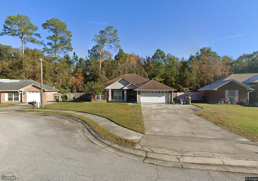
1204 Langston Ln Hinesville, GA 31313
Estimated Value: $251,000 - $271,000
3
Beds
2
Baths
1,793
Sq Ft
$144/Sq Ft
Est. Value
About This Home
This home is located at 1204 Langston Ln, Hinesville, GA 31313 and is currently estimated at $259,074, approximately $144 per square foot. 1204 Langston Ln is a home located in Liberty County with nearby schools including Waldo Pafford Elementary School, Snelson-Golden Middle School, and Bradwell Institute.
Ownership History
Date
Name
Owned For
Owner Type
Purchase Details
Closed on
Jan 31, 2007
Sold by
Dzuricky Tameka L
Bought by
Danielson Ovid
Current Estimated Value
Purchase Details
Closed on
Feb 16, 2006
Sold by
Dryden Enterprises Inc
Bought by
Dzuricky Matthew M and Dzuricky Tameka L
Home Financials for this Owner
Home Financials are based on the most recent Mortgage that was taken out on this home.
Original Mortgage
$160,350
Interest Rate
6.04%
Create a Home Valuation Report for This Property
The Home Valuation Report is an in-depth analysis detailing your home's value as well as a comparison with similar homes in the area
Home Values in the Area
Average Home Value in this Area
Purchase History
| Date | Buyer | Sale Price | Title Company |
|---|---|---|---|
| Danielson Ovid | $172,500 | -- | |
| Dzuricky Matthew M | $157,000 | -- |
Source: Public Records
Mortgage History
| Date | Status | Borrower | Loan Amount |
|---|---|---|---|
| Previous Owner | Dzuricky Matthew M | $160,350 |
Source: Public Records
Tax History Compared to Growth
Tax History
| Year | Tax Paid | Tax Assessment Tax Assessment Total Assessment is a certain percentage of the fair market value that is determined by local assessors to be the total taxable value of land and additions on the property. | Land | Improvement |
|---|---|---|---|---|
| 2024 | $4,823 | $98,328 | $12,000 | $86,328 |
| 2023 | $4,823 | $87,918 | $12,000 | $75,918 |
| 2022 | $3,316 | $71,300 | $9,600 | $61,700 |
| 2021 | $2,832 | $59,739 | $9,600 | $50,139 |
| 2020 | $2,645 | $55,234 | $7,200 | $48,034 |
| 2019 | $2,650 | $55,768 | $7,200 | $48,568 |
| 2018 | $2,533 | $53,574 | $7,200 | $46,374 |
| 2017 | $1,781 | $54,078 | $7,200 | $46,878 |
| 2016 | $2,458 | $54,582 | $7,200 | $47,382 |
| 2015 | $2,857 | $60,169 | $10,000 | $50,169 |
| 2014 | $2,857 | $62,823 | $10,000 | $52,823 |
| 2013 | -- | $66,039 | $10,000 | $56,039 |
Source: Public Records
Map
Nearby Homes
- 963 Yale Ct
- 1226 Langston Ln
- 1112 Cornett Ct
- 950 Elma G Miles Pkwy
- 951 Elma G Miles Pkwy
- 1.05 AC Elma G Miles Pkwy
- 823 Elma G Miles Pkwy
- 1.09 AC Elma G Miles Pkwy
- 14.96 Ac Ellie Ln
- .58 AC Elma G Miles Pkwy
- 144 Alcott Cir
- 0 Elma G Miles Pkwy Unit 324139
- 1072 Ricade Dr
- 114 Brasher Dr
- 970 Whippoorwill Way
- 396 Alcott Cir
- 1100 Pineland Ave Unit 2D
- 1103 Ricade Dr
- 1091 Kelly Dr
- 1106 Ricade Dr
- 1206 Langston Ln
- 1202 Langston Ln
- 1208 Langston Ln
- 1201 Langston Ln
- 1200 Langston Ln
- 1205 Langston Ln
- 1203 Langston Ln
- 1210 Langston Ln
- 1207 Langston Ln
- 1212 Langston Ln
- 1209 Langston Ln
- 947 Ruth Dr
- 949 Ruth Dr
- 945 Ruth Dr
- 1211 Langston Ln
- 1214 Langston Ln
- 943 Ruth Dr
- 1213 Langston Ln
- 51 Pond Dr
- 1216 Langston Ln