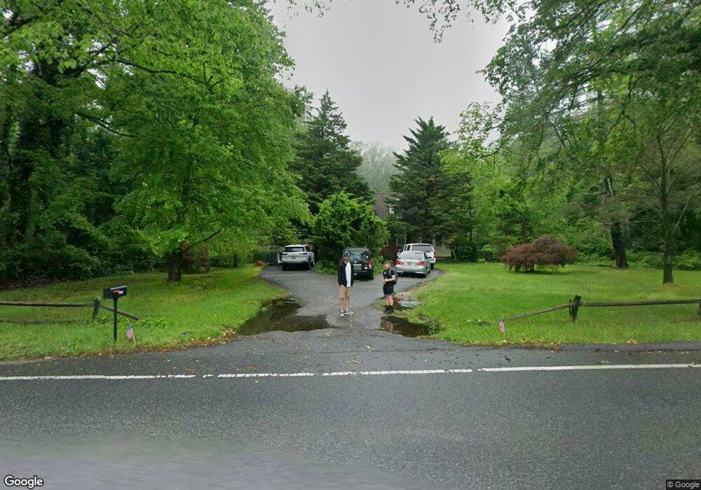
1204 Marlboro Rd Lothian, MD 20711
Estimated Value: $364,000 - $471,000
3
Beds
2
Baths
1,332
Sq Ft
$315/Sq Ft
Est. Value
About This Home
This home is located at 1204 Marlboro Rd, Lothian, MD 20711 and is currently estimated at $420,087, approximately $315 per square foot. 1204 Marlboro Rd is a home located in Anne Arundel County with nearby schools including Lothian Elementary School, Southern Middle School, and Southern High School.
Ownership History
Date
Name
Owned For
Owner Type
Purchase Details
Closed on
Oct 11, 2018
Sold by
Strong Brian Keith and Ramsey Judith Ann
Bought by
Strong Brian Keith and Ramsey Judith Ann
Current Estimated Value
Purchase Details
Closed on
Nov 16, 2010
Sold by
Federal National Mortgage Association
Bought by
Ramsey Judith Ann and Strong Brian K
Purchase Details
Closed on
Apr 20, 2010
Sold by
Rosenthal David W
Bought by
Federal National Mortgage Association
Purchase Details
Closed on
Apr 21, 2003
Sold by
Jacks William
Bought by
Rosenthal David W and Rosenthal Angela B
Create a Home Valuation Report for This Property
The Home Valuation Report is an in-depth analysis detailing your home's value as well as a comparison with similar homes in the area
Home Values in the Area
Average Home Value in this Area
Purchase History
| Date | Buyer | Sale Price | Title Company |
|---|---|---|---|
| Strong Brian Keith | -- | Residential Title & Escrow C | |
| Ramsey Judith Ann | $131,250 | -- | |
| Federal National Mortgage Association | $304,000 | -- | |
| Rosenthal David W | $240,000 | -- |
Source: Public Records
Mortgage History
| Date | Status | Borrower | Loan Amount |
|---|---|---|---|
| Closed | Rosenthal David W | -- |
Source: Public Records
Tax History Compared to Growth
Tax History
| Year | Tax Paid | Tax Assessment Tax Assessment Total Assessment is a certain percentage of the fair market value that is determined by local assessors to be the total taxable value of land and additions on the property. | Land | Improvement |
|---|---|---|---|---|
| 2025 | $4,437 | $368,233 | -- | -- |
| 2024 | $4,437 | $344,867 | $0 | $0 |
| 2023 | $4,138 | $321,500 | $180,800 | $140,700 |
| 2022 | $3,913 | $318,967 | $0 | $0 |
| 2021 | $7,772 | $316,433 | $0 | $0 |
| 2020 | $3,820 | $313,900 | $180,800 | $133,100 |
| 2019 | $7,376 | $308,333 | $0 | $0 |
| 2018 | $3,070 | $302,767 | $0 | $0 |
| 2017 | $3,556 | $297,200 | $0 | $0 |
| 2016 | -- | $281,200 | $0 | $0 |
| 2015 | -- | $265,200 | $0 | $0 |
| 2014 | -- | $249,200 | $0 | $0 |
Source: Public Records
Map
Nearby Homes
- 1154 Mount Zion Marlboro Rd
- 1156 Mount Zion Marlboro Rd
- 1218 Whittington Dr
- 92 Patuxent Mobile Estates
- 76 Patuxent Mobile Estates
- 6 Patuxent Mobile Estates
- 190 Boones Dr
- 318 Ella Dr
- 214 Konrad Morgan Way
- 263 Konrad Morgan Way
- 997 Mount Zion Marlboro Rd
- 484 Keith Ct
- 460 Sarah Anne Dr
- 26 2nd St
- 148 1st St
- 896 Mount Zion Marlboro Rd
- 5709 Plummer Ln
- 5248 Ferry Branch Ln
- 17211 Usher Place
- 17120 Fairway View Ln
- 1203 Mt Zion Marlboro Rd
- 1203 Marlboro Rd
- 1203 Mount Zion Marlboro Rd
- 1213 Mt Zion Marlboro Rd W
- 1213 Marlboro Rd
- 1213 Mt Zion Marlboro Rd
- 1215 Marlboro Rd
- 1217 Marlboro Rd
- 1222 Marlboro Rd
- 1228 Marlboro Rd
- 1221 Marlboro Rd
- 1221 Mt Zion Marlboro Rd
- 1192 Marlboro Rd
- 1201 Marlboro Rd
- 1221 Mount Zion Marlboro Rd
- 1227 Marlboro Rd
- 1179 Marlboro Rd
- 1178 Marlboro Rd
- 1178 Mount Zion Marlboro Rd
- 1176 Marlboro Rd