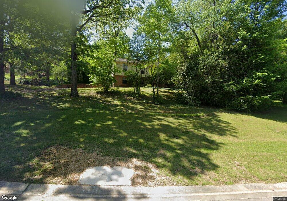
1204 Michael Dr Alabaster, AL 35007
Estimated Value: $241,000 - $295,000
--
Bed
2
Baths
1,707
Sq Ft
$156/Sq Ft
Est. Value
About This Home
This home is located at 1204 Michael Dr, Alabaster, AL 35007 and is currently estimated at $267,034, approximately $156 per square foot. 1204 Michael Dr is a home located in Shelby County with nearby schools including Thompson Intermediate School, Thompson Middle School, and Thompson High School.
Ownership History
Date
Name
Owned For
Owner Type
Purchase Details
Closed on
Oct 21, 2024
Sold by
Gilpin Nord Tonja
Bought by
Arington Patricia K
Current Estimated Value
Purchase Details
Closed on
Nov 3, 2006
Sold by
Arington Patricia K and Nord Tonja J
Bought by
Nord Tonja J and Arlington Patricia K
Home Financials for this Owner
Home Financials are based on the most recent Mortgage that was taken out on this home.
Original Mortgage
$70,000
Interest Rate
6.33%
Mortgage Type
New Conventional
Create a Home Valuation Report for This Property
The Home Valuation Report is an in-depth analysis detailing your home's value as well as a comparison with similar homes in the area
Home Values in the Area
Average Home Value in this Area
Purchase History
| Date | Buyer | Sale Price | Title Company |
|---|---|---|---|
| Arington Patricia K | -- | None Listed On Document | |
| Nord Tonja J | -- | None Available |
Source: Public Records
Mortgage History
| Date | Status | Borrower | Loan Amount |
|---|---|---|---|
| Previous Owner | Nord Tonja J | $70,000 |
Source: Public Records
Tax History
| Year | Tax Paid | Tax Assessment Tax Assessment Total Assessment is a certain percentage of the fair market value that is determined by local assessors to be the total taxable value of land and additions on the property. | Land | Improvement |
|---|---|---|---|---|
| 2024 | $11 | $21,620 | $0 | $0 |
| 2023 | $1,048 | $20,160 | $0 | $0 |
| 2022 | $946 | $18,280 | $0 | $0 |
| 2021 | $866 | $16,800 | $0 | $0 |
| 2020 | $758 | $14,800 | $0 | $0 |
| 2019 | $732 | $14,320 | $0 | $0 |
| 2017 | $693 | $13,600 | $0 | $0 |
| 2015 | $669 | $13,140 | $0 | $0 |
| 2014 | $653 | $12,860 | $0 | $0 |
Source: Public Records
Map
Nearby Homes
- 1507 Mitch Ln
- 1509 Mitch Ln
- 1511 Mitch Ln
- 1513 Mitch Ln
- 123 Wooten Rd
- 302 Fran Dr
- 307 Fran Ln
- 314 Forest Hills Ln
- 46 Scottsdale Dr
- 211 Mountain Lake Trail
- 0 Montevallo Rd Unit 1344829
- 100 Riviera Run
- 1718 Fulton Springs Rd
- 8452 Highway 119
- 101 Forest Hills Terrace
- 2040 Butler Rd
- 2022 Butler Rd
- 300 Lenoir Place
- 200 Riviera Run
- 140 Riviera Run
- 1202 Michael Dr
- 1206 Michael Dr
- 1107 Allison Cir
- 1205 Michael Dr
- 1200 Michael Dr
- 1207 Michael Dr
- 1301 Michael Cir
- 1105 Allison Cir
- 1104 Allison Cir
- 1208 Michael Dr
- 1211 Michael Dr
- 1201 Michael Dr
- 1302 Michael Cir
- 1401 Mollys Place
- 1103 Allison Cir
- 1409 Mollys Place
- 1102 Allison Cir
- 1407 Mollys Place
- 1213 Michael Dr
- 1303 Michael Cir
Your Personal Tour Guide
Ask me questions while you tour the home.