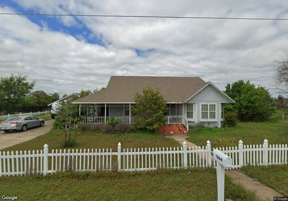
1204 Newport Rd Weatherford, TX 76086
Estimated Value: $314,000 - $332,000
3
Beds
2
Baths
1,715
Sq Ft
$188/Sq Ft
Est. Value
About This Home
This home is located at 1204 Newport Rd, Weatherford, TX 76086 and is currently estimated at $322,011, approximately $187 per square foot. 1204 Newport Rd is a home located in Parker County with nearby schools including Wright Elementary School, Hall Middle School, and Weatherford High School.
Ownership History
Date
Name
Owned For
Owner Type
Purchase Details
Closed on
Aug 7, 2006
Sold by
Mcnew Tina and Mcnew Jayson B
Bought by
Colpitts Robert M
Current Estimated Value
Home Financials for this Owner
Home Financials are based on the most recent Mortgage that was taken out on this home.
Original Mortgage
$118,000
Outstanding Balance
$70,807
Interest Rate
6.75%
Mortgage Type
New Conventional
Estimated Equity
$251,204
Purchase Details
Closed on
Jan 15, 2004
Sold by
Hall Elmer D and Hall Eileen F
Bought by
Colpitts Robert M
Purchase Details
Closed on
Jul 6, 1995
Bought by
Colpitts Robert M
Purchase Details
Closed on
May 10, 1983
Bought by
Colpitts Robert M
Create a Home Valuation Report for This Property
The Home Valuation Report is an in-depth analysis detailing your home's value as well as a comparison with similar homes in the area
Home Values in the Area
Average Home Value in this Area
Purchase History
| Date | Buyer | Sale Price | Title Company |
|---|---|---|---|
| Colpitts Robert M | -- | Fidelity Natl Title Ins Co | |
| Colpitts Robert M | -- | -- | |
| Colpitts Robert M | -- | -- | |
| Colpitts Robert M | -- | -- |
Source: Public Records
Mortgage History
| Date | Status | Borrower | Loan Amount |
|---|---|---|---|
| Open | Colpitts Robert M | $118,000 |
Source: Public Records
Tax History Compared to Growth
Tax History
| Year | Tax Paid | Tax Assessment Tax Assessment Total Assessment is a certain percentage of the fair market value that is determined by local assessors to be the total taxable value of land and additions on the property. | Land | Improvement |
|---|---|---|---|---|
| 2025 | $5,922 | $330,830 | $69,000 | $261,830 |
| 2024 | $5,922 | $307,240 | $60,000 | $247,240 |
| 2023 | $5,922 | $307,240 | $60,000 | $247,240 |
| 2022 | $3,741 | $168,670 | $30,000 | $138,670 |
| 2021 | $4,051 | $168,670 | $30,000 | $138,670 |
| 2020 | $3,930 | $162,670 | $24,000 | $138,670 |
| 2019 | $4,154 | $162,670 | $24,000 | $138,670 |
| 2018 | $4,259 | $166,020 | $18,000 | $148,020 |
| 2017 | $4,368 | $166,020 | $18,000 | $148,020 |
| 2016 | $3,798 | $144,360 | $18,000 | $126,360 |
| 2015 | $3,720 | $144,360 | $18,000 | $126,360 |
| 2014 | $3,528 | $140,470 | $15,600 | $124,870 |
Source: Public Records
Map
Nearby Homes
- 122 Rachel Rd
- 819 Norton St
- 1113 Keechi St
- 1221 Elmira St
- 918 El Dorado St
- 905 Eldorado St
- 145 Redbud Ln
- 1012 Keechi St
- 1413 Westwood Dr
- 106 Marys Ln
- 213 Jefferson St
- 221 Jefferson St
- 208 Jefferson St
- 237 Jefferson St
- 220 Jefferson St
- 102 Bob White Ave
- 1525 Oak Tree Cir
- 209 S Hill Dr
- 423 Live Oak Ln
- 220 S Merrimac
- 1212 Newport Rd
- 1209 Newport Rd
- 1211 Newport Rd
- 1302 Newport Rd
- 840 S Bowie Dr
- 802 S Bowie Dr
- 1311 Newport Rd
- 916 W Anderson St
- 804 S Bowie Dr
- TBD S Bowie Dr
- 800Blk S Bowie Dr
- 1312 Newport Rd
- 1312 Newport Rd
- 824 Ridgeway Blvd
- 914 W Anderson St
- 915 W Russell St
- 1219 Mineola St
- 725 Ridgeway Blvd
- 102 Tiffany Trail
- 1215 Mineola St