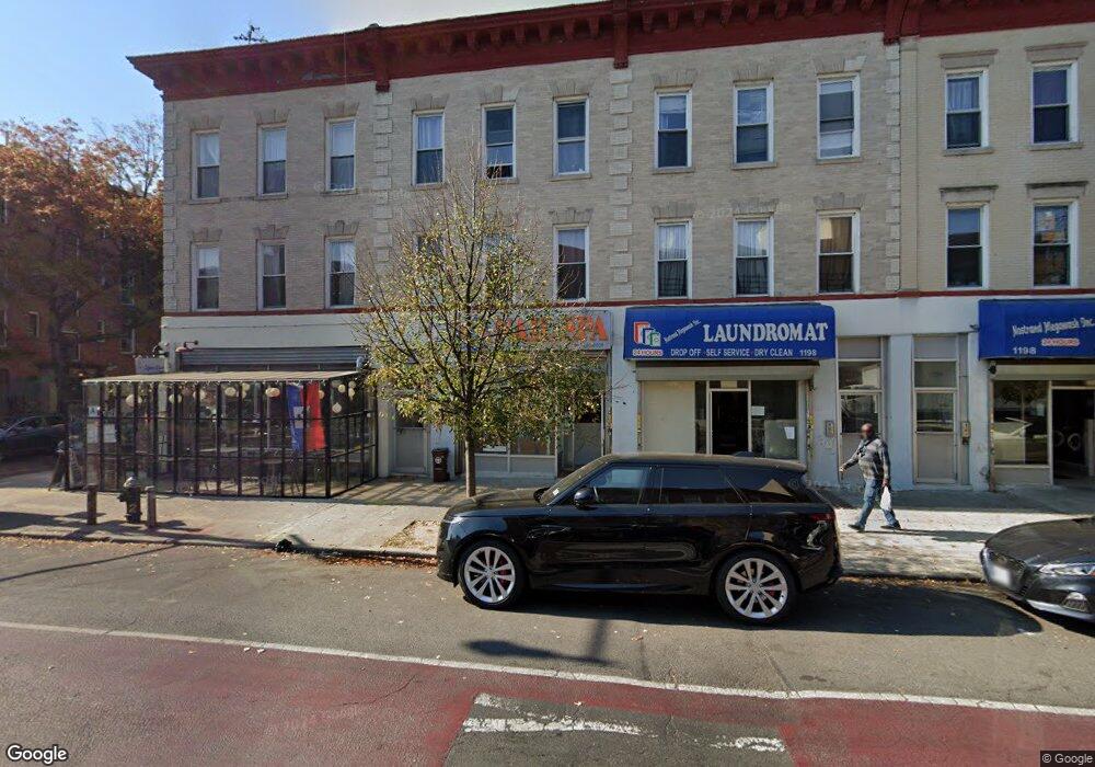
1204 Nostrand Ave Brooklyn, NY 11225
Prospect Lefferts Gardens Neighborhood
--
Bed
--
Bath
3,075
Sq Ft
1,263
Sq Ft Lot
About This Home
This home is located at 1204 Nostrand Ave, Brooklyn, NY 11225. 1204 Nostrand Ave is a home located in Kings County with nearby schools including P.S. 397 Foster Laurie, Parkside Preparatory Academy, and Explore Charter School.
Ownership History
Date
Name
Owned For
Owner Type
Purchase Details
Closed on
Aug 24, 2022
Sold by
243 Nostrand Hoodlum Llc and Jasl Group Llc
Bought by
243 Nostrand Hoodlum Llc and Jasl Group Llc
Home Financials for this Owner
Home Financials are based on the most recent Mortgage that was taken out on this home.
Original Mortgage
$118,820
Outstanding Balance
$113,246
Interest Rate
5.13%
Mortgage Type
Purchase Money Mortgage
Purchase Details
Closed on
Dec 31, 2020
Sold by
243 Nostrand Hoodlum Llc
Bought by
243 Nostrand Hoodlum Llc and Jasl Group Llc
Purchase Details
Closed on
Nov 3, 2000
Sold by
Aretha Barrett Realty Corp
Bought by
Lauday Inc
Create a Home Valuation Report for This Property
The Home Valuation Report is an in-depth analysis detailing your home's value as well as a comparison with similar homes in the area
Home Values in the Area
Average Home Value in this Area
Purchase History
| Date | Buyer | Sale Price | Title Company |
|---|---|---|---|
| 243 Nostrand Hoodlum Llc | $1,398,067 | -- | |
| 243 Nostrand Hoodlum Llc | -- | -- | |
| Lauday Inc | $325,000 | -- | |
| Lauday Inc | $325,000 | -- |
Source: Public Records
Mortgage History
| Date | Status | Borrower | Loan Amount |
|---|---|---|---|
| Open | 243 Nostrand Hoodlum Llc | $118,820 |
Source: Public Records
Tax History Compared to Growth
Tax History
| Year | Tax Paid | Tax Assessment Tax Assessment Total Assessment is a certain percentage of the fair market value that is determined by local assessors to be the total taxable value of land and additions on the property. | Land | Improvement |
|---|---|---|---|---|
| 2025 | $10,199 | $123,900 | $11,580 | $112,320 |
| 2024 | $10,199 | $97,860 | $11,580 | $86,280 |
| 2023 | $9,942 | $106,260 | $11,580 | $94,680 |
| 2022 | $9,636 | $77,520 | $11,580 | $65,940 |
| 2021 | $9,567 | $77,940 | $11,580 | $66,360 |
| 2020 | $7,175 | $65,580 | $11,580 | $54,000 |
| 2019 | $8,838 | $57,000 | $11,580 | $45,420 |
| 2018 | $8,301 | $40,723 | $9,924 | $30,799 |
| 2017 | $8,243 | $40,435 | $10,560 | $29,875 |
| 2016 | $7,930 | $39,667 | $10,530 | $29,137 |
| 2015 | $2,859 | $22,982 | $8,714 | $14,268 |
| 2014 | $2,859 | $22,450 | $10,219 | $12,231 |
Source: Public Records
Map
Nearby Homes
- 258 Winthrop St Unit 4A
- 310 Fenimore St
- 312 Fenimore St
- 229 Hawthorne St Unit 1-AA
- 229 Hawthorne St Unit 3-B
- 229 Hawthorne St Unit 4-B
- 229 Hawthorne St Unit 2-B
- 229 Hawthorne St Unit 4-A
- 229 Hawthorne St Unit 5-A
- 388 Fenimore St
- 209 Hawthorne St
- 1281 Nostrand Ave
- 267 Rutland Rd
- 259 Rutland Rd Unit 2A
- 259 Rutland Rd Unit 3C
- 259 Rutland Rd Unit 3B
- 259 Rutland Rd Unit 3A
- 259 Rutland Rd Unit 5B
- 259 Rutland Rd Unit 2C
- 195 Hawthorne St Unit 5E
- 1202 Nostrand Ave
- 1206 Nostrand Ave
- 1198 Nostrand Ave
- 287 Hawthorne St
- 287 Hawthorne St Unit 4F
- 1196 Nostrand Ave
- 292 Hawthorne St Unit 4B
- 292 Hawthorne St Unit 3L
- 292 Hawthorne St Unit 4R
- 292 Hawthorne St Unit 1-R
- 292 Hawthorne St Unit 2-R
- 1208 Nostrand Ave Unit 1R
- 1208 Nostrand Ave
- 1194 Nostrand Ave
- 1210 Nostrand Ave
- 1192 Nostrand Ave
- 293 Hawthorne St Unit 2E
- 293 Hawthorne St Unit 2D
- 293 Hawthorne St Unit PHB
- 293 Hawthorne St Unit 4 E