1204 Pack Rd White Bluff, TN 37187
Estimated Value: $388,682 - $415,000
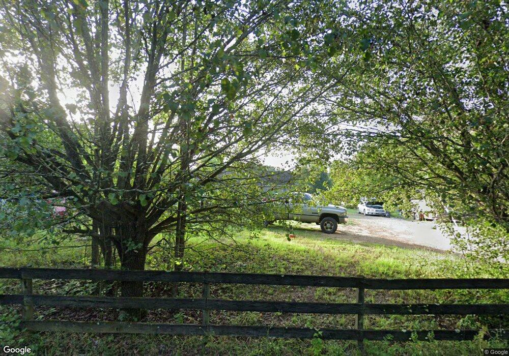
About This Home
This home is located at 1204 Pack Rd, White Bluff, TN 37187 and is currently estimated at $397,921, approximately $218 per square foot. 1204 Pack Rd is a home located in Dickson County with nearby schools including White Bluff Elementary School, W. James Middle School, and Creek Wood High School.
Ownership History
We collect this data history from publicly available records. To have your information removed, we recommend requesting removal directly through your county’s website.
Purchase Details
Home Financials for this Owner
Home Financials are based on the most recent Mortgage that was taken out on this home.Purchase Details
Home Values in the Area
Average Home Value in this Area
Purchase History
We collect this data history from publicly available records. To have your information removed, we recommend requesting removal directly through your county’s website.
| Date | Buyer | Sale Price | Title Company |
|---|---|---|---|
| $12,500 | -- | ||
| -- | -- |
Mortgage History
We collect this data history from publicly available records. To have your information removed, we recommend requesting removal directly through your county’s website.
| Date | Status | Borrower | Loan Amount |
|---|---|---|---|
| Open | $64,500 |
Tax History
We collect this data history from publicly available records. To have your information removed, we recommend requesting removal directly through your county’s website.
| Year | Tax Paid | Tax Assessment Tax Assessment Total Assessment is a certain percentage of the fair market value that is determined by local assessors to be the total taxable value of land and additions on the property. | Land | Improvement |
|---|---|---|---|---|
| 2025 | $1,558 | $92,175 | $25,750 | $66,425 |
| 2024 | $1,558 | $92,175 | $25,750 | $66,425 |
| 2023 | $1,288 | $54,800 | $6,500 | $48,300 |
| 2022 | $1,288 | $54,800 | $6,500 | $48,300 |
| 2021 | $1,288 | $54,800 | $6,500 | $48,300 |
| 2020 | $1,288 | $54,800 | $6,500 | $48,300 |
| 2019 | $1,288 | $54,800 | $6,500 | $48,300 |
| 2018 | $1,245 | $46,100 | $5,425 | $40,675 |
| 2017 | $1,245 | $46,100 | $5,425 | $40,675 |
| 2016 | $1,245 | $46,100 | $5,425 | $40,675 |
| 2015 | $1,156 | $39,850 | $5,425 | $34,425 |
| 2014 | $1,156 | $39,850 | $5,425 | $34,425 |
Map
- 1423 Pack Rd
- 1053 Pack Rd
- 1065 Lee Greer Rd
- 1611 Harpeth Crossing
- 1098 Fred Gibbs Rd
- 110 Wade Reed Rd
- 896 Hawkins Rd
- 1955 Highway 49 E
- 957 Ford Rd
- 801 Collier Bend Rd
- 1259 Petty Rd
- 0 Griffintown Rd Unit 2
- 0 Griffintown Rd Unit 1
- 66 Shawnokee Trail
- 609 Stacey Rd
- 150 Mutt Rd
- 105 Larkins Dr
- 2165 Petty Rd
- 2150 Sunset Dr
- 1028 Callahan Rd
Ask me questions while you tour the home.