1204 S Branch Dr Unit 29C Whitehouse Station, NJ 08889
Readington NeighborhoodEstimated Value: $571,677 - $625,000
--
Bed
--
Bath
2,040
Sq Ft
$295/Sq Ft
Est. Value
About This Home
This home is located at 1204 S Branch Dr Unit 29C, Whitehouse Station, NJ 08889 and is currently estimated at $602,419, approximately $295 per square foot. 1204 S Branch Dr Unit 29C is a home located in Hunterdon County with nearby schools including Hunterdon Central Regional High School District and Whitehouse Preparatory School.
Ownership History
Date
Name
Owned For
Owner Type
Purchase Details
Closed on
Sep 23, 2019
Sold by
Us Bank Trust Na
Bought by
Peterson Lana R
Current Estimated Value
Home Financials for this Owner
Home Financials are based on the most recent Mortgage that was taken out on this home.
Original Mortgage
$240,000
Outstanding Balance
$209,788
Interest Rate
3.5%
Mortgage Type
New Conventional
Estimated Equity
$392,631
Purchase Details
Closed on
Apr 28, 2017
Sold by
Mallis Robert and Mallis Linda L
Bought by
Us Bank Trust Na and Lsf9 Master Participation Trust
Create a Home Valuation Report for This Property
The Home Valuation Report is an in-depth analysis detailing your home's value as well as a comparison with similar homes in the area
Home Values in the Area
Average Home Value in this Area
Purchase History
| Date | Buyer | Sale Price | Title Company |
|---|---|---|---|
| Peterson Lana R | $370,000 | Cortes & Hay Title Agcy Inc | |
| Us Bank Trust Na | -- | None Available |
Source: Public Records
Mortgage History
| Date | Status | Borrower | Loan Amount |
|---|---|---|---|
| Open | Peterson Lana R | $240,000 |
Source: Public Records
Tax History Compared to Growth
Tax History
| Year | Tax Paid | Tax Assessment Tax Assessment Total Assessment is a certain percentage of the fair market value that is determined by local assessors to be the total taxable value of land and additions on the property. | Land | Improvement |
|---|---|---|---|---|
| 2025 | $9,955 | $379,800 | $77,000 | $302,800 |
| 2024 | $9,871 | $379,800 | $77,000 | $302,800 |
| 2023 | $9,871 | $379,800 | $77,000 | $302,800 |
| 2022 | $9,617 | $379,800 | $77,000 | $302,800 |
| 2021 | $9,185 | $379,800 | $77,000 | $302,800 |
| 2020 | $9,363 | $307,900 | $130,000 | $177,900 |
| 2019 | $9,185 | $307,900 | $130,000 | $177,900 |
| 2018 | $9,040 | $307,900 | $130,000 | $177,900 |
| 2017 | $8,831 | $307,900 | $130,000 | $177,900 |
| 2016 | $8,621 | $307,900 | $130,000 | $177,900 |
| 2015 | $8,483 | $307,900 | $130,000 | $177,900 |
| 2014 | $8,378 | $307,900 | $130,000 | $177,900 |
Source: Public Records
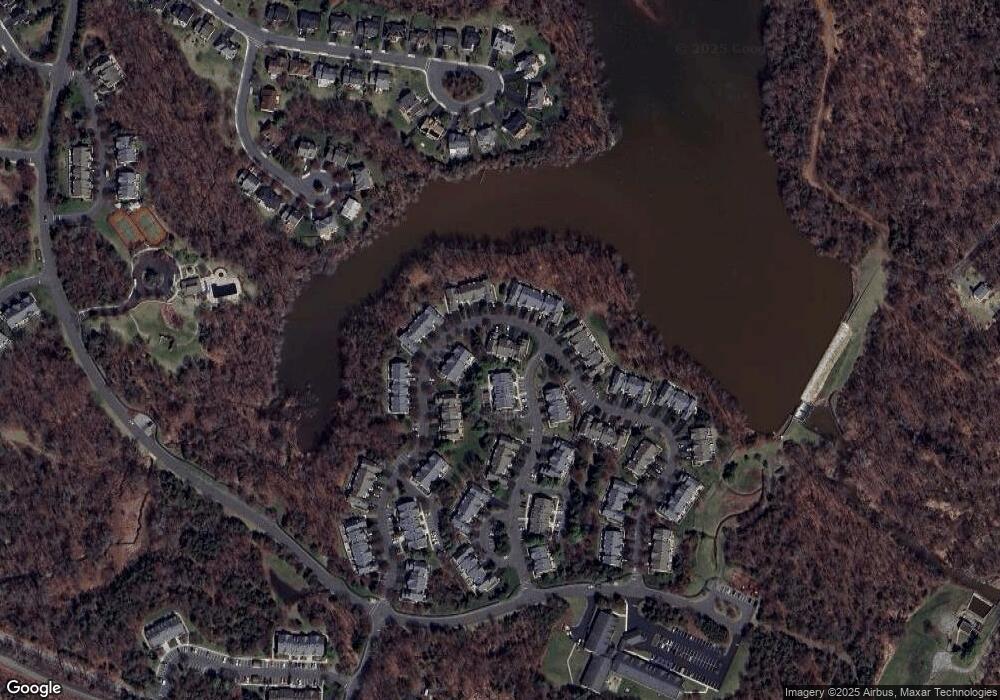
Map
Nearby Homes
- 111 S Branch Dr Unit 5F
- 8 Nelson St
- 147 Main St
- 5 Weatherhill Rd
- 128 Main St
- 26 Ebersohl Cir Unit 1015
- 101 Main St
- 474 Us Highway 22 and 3
- 474 U S 22
- 5 Clover Ct
- 11 Kline Blvd
- 474 Rt 22
- 12 Kline Blvd
- 33 Old Highway 28
- 11 Creek Rd
- 56 Old Highway 28
- 2323 Berry Farm Rd
- 602 Route 523
- 32 Pulaski Rd
- 12 John Stevens Rd
- 1206 S Branch Dr
- 1202 S Branch Dr Unit D29
- 1208 S Branch Dr Unit 29A
- 713 Well Sweep Rd
- 711 Well Sweep Rd Unit E2
- 709 Well Sweep Rd Unit E1
- 715 Well Sweep Rd
- 705 Well Sweep Rd Unit 28F1
- 717 Well Sweep Rd Unit 28C1
- 1008 S Branch Dr Unit 30A
- 707 Well Sweep Rd
- 719 Well Sweep Rd Unit C2
- 701 Well Sweep Rd Unit A1
- 721 Well Sweep Rd
- 1004 S Branch Dr Unit 3
- 703 Well Sweep Rd
- 723 Well Sweep Rd Unit B2
- 1002 S Branch Dr Unit 30D
- 1105 S Branch Dr Unit C010
- 1101 S Branch Dr Unit 10A