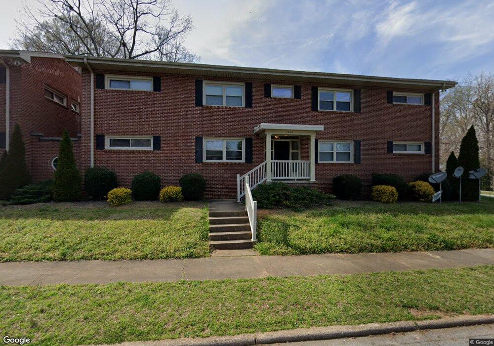
1204 Stanley St Unit A Salisbury, NC 28144
Estimated Value: $1,449,584
Studio
1
Bath
4,031
Sq Ft
$360/Sq Ft
Est. Value
About This Home
This home is located at 1204 Stanley St Unit A, Salisbury, NC 28144 and is currently estimated at $1,449,584, approximately $359 per square foot. 1204 Stanley St Unit A is a home located in Rowan County with nearby schools including Elizabeth Duncan Koontz Elementary School, North Rowan Middle School, and Salisbury High School.
Ownership History
Date
Name
Owned For
Owner Type
Purchase Details
Closed on
Jun 26, 2023
Sold by
J Mac Properties Llc
Bought by
Secure Inc
Current Estimated Value
Purchase Details
Closed on
Aug 26, 2022
Sold by
J & E Investment Properties Llc
Bought by
J-Mac Properties Llc
Purchase Details
Closed on
Oct 19, 2007
Sold by
Timberlake Properties Llc
Bought by
J & E Investment Properties Llc
Create a Home Valuation Report for This Property
The Home Valuation Report is an in-depth analysis detailing your home's value as well as a comparison with similar homes in the area
Home Values in the Area
Average Home Value in this Area
Purchase History
| Date | Buyer | Sale Price | Title Company |
|---|---|---|---|
| Secure Inc | $1,280,000 | None Listed On Document | |
| Secure Inc | $1,280,000 | None Listed On Document | |
| J-Mac Properties Llc | $700,000 | Eggleston S Scott | |
| J Mac Properties Llc | $700,000 | None Listed On Document | |
| J & E Investment Properties Llc | $270,000 | None Available |
Source: Public Records
Tax History
| Year | Tax Paid | Tax Assessment Tax Assessment Total Assessment is a certain percentage of the fair market value that is determined by local assessors to be the total taxable value of land and additions on the property. | Land | Improvement |
|---|---|---|---|---|
| 2025 | $8,481 | $709,149 | $33,469 | $675,680 |
| 2024 | $8,481 | $709,149 | $33,469 | $675,680 |
| 2023 | $8,481 | $709,149 | $33,469 | $675,680 |
| 2022 | $3,372 | $244,893 | $27,563 | $217,330 |
| 2021 | $3,372 | $244,893 | $27,563 | $217,330 |
| 2020 | $3,372 | $244,893 | $27,563 | $217,330 |
| 2019 | $3,372 | $244,893 | $27,563 | $217,330 |
| 2018 | $3,234 | $238,012 | $27,562 | $210,450 |
| 2017 | $3,217 | $238,012 | $27,562 | $210,450 |
| 2016 | $3,129 | $238,012 | $27,562 | $210,450 |
| 2015 | $3,148 | $238,012 | $27,562 | $210,450 |
| 2014 | $3,209 | $245,529 | $27,562 | $217,967 |
Source: Public Records
Map
Nearby Homes
- 502 Mitchell Ave
- 522 Elm St
- 425 Maupin Ave
- 515 Heilig Ave
- 304 Mitchell Ave
- 835 Maple Ave
- 301 Maupin Ave
- 218 Queen Anne Rd
- 953 Fairmont Ave
- 208 Maupin Ave
- 207 Maupin Ave
- 1325 Jake Alexander Blvd W
- 1418 Crosby St
- 1818 2nd St
- 204 W C Ave
- 1027 Old Plank Rd
- 1950 Rosemont St
- 1007 S Church St
- 402 Swaim Ct
- 817 S Jackson St
- 1204 Stanley St
- 1204 Stanley St Unit 2
- 1204 Stanley St Unit 4
- 1204 & 1208 Stanley St
- 1208 Stanley St
- 1208 Stanley St Unit A
- 615 Wiley Ave
- 529 Wiley Ave
- 625 Wiley Ave
- 517 Wiley Ave
- 1212 Stanley St
- 530 Wiley Ave
- 614 Wiley Ave
- 612 Mitchell Ave
- 515 Wiley Ave
- 524 Wiley Ave
- 618 Wiley Ave
- 629 Wiley Ave
- 509 Wiley Ave
- 624 Mitchell Ave
Your Personal Tour Guide
Ask me questions while you tour the home.