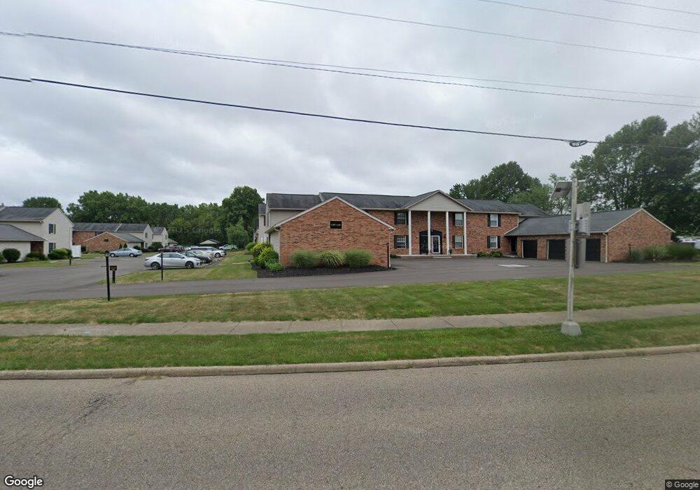
1204 W Maple St North Canton, OH 44720
Estimated Value: $137,000 - $150,000
2
Beds
2
Baths
960
Sq Ft
$149/Sq Ft
Est. Value
About This Home
This home is located at 1204 W Maple St, North Canton, OH 44720 and is currently estimated at $143,417, approximately $149 per square foot. 1204 W Maple St is a home located in Stark County with nearby schools including Orchard Hill Intermediate School, North Canton Middle School, and Hoover High School.
Ownership History
Date
Name
Owned For
Owner Type
Purchase Details
Closed on
Dec 5, 2005
Sold by
Maplecreek Development
Bought by
Stroup Keith E and Stroup Laurel
Current Estimated Value
Home Financials for this Owner
Home Financials are based on the most recent Mortgage that was taken out on this home.
Original Mortgage
$72,000
Outstanding Balance
$39,997
Interest Rate
6.17%
Mortgage Type
Seller Take Back
Estimated Equity
$103,420
Create a Home Valuation Report for This Property
The Home Valuation Report is an in-depth analysis detailing your home's value as well as a comparison with similar homes in the area
Home Values in the Area
Average Home Value in this Area
Purchase History
| Date | Buyer | Sale Price | Title Company |
|---|---|---|---|
| Stroup Keith E | $75,000 | First American Title |
Source: Public Records
Mortgage History
| Date | Status | Borrower | Loan Amount |
|---|---|---|---|
| Open | Stroup Keith E | $72,000 |
Source: Public Records
Tax History
| Year | Tax Paid | Tax Assessment Tax Assessment Total Assessment is a certain percentage of the fair market value that is determined by local assessors to be the total taxable value of land and additions on the property. | Land | Improvement |
|---|---|---|---|---|
| 2025 | -- | $40,540 | $8,230 | $32,310 |
| 2024 | -- | $40,540 | $8,230 | $32,310 |
| 2023 | $1,800 | $33,640 | $6,020 | $27,620 |
| 2022 | $1,732 | $33,640 | $6,020 | $27,620 |
| 2021 | $1,670 | $33,640 | $6,020 | $27,620 |
| 2020 | $1,591 | $28,880 | $5,500 | $23,380 |
| 2019 | $1,491 | $28,880 | $5,500 | $23,380 |
Source: Public Records
Map
Nearby Homes
- 1222 W Maple St Unit 6A
- 1134 W Maple St Unit 3A
- 1124 Valley Dr NW
- 827 Summit St SW
- 545 Pittsburg Ave NW
- 0 Pittsburg Ave NW
- 0 V L Milton St NW
- 422 Werstler Ave NW
- 800 Emerson Ave NW
- 514 6th St NW
- 331 Harmon St SW
- 1276 Linwood Ave SW
- 1035 Lois Ave NW
- 5613 Thunderbird Cir NW
- 140 5th St NE
- 1254 Los Angeles Blvd NW
- 245 James St SW
- 416 Adena St NE
- 5161 Westwind Cir NW Unit 10B
- 534 E Maple St
- 1202 W Maple St Unit 7E
- 1200 W Maple St Unit 7F
- 1208 W Maple St
- 1206 W Maple St
- 1103 W Maple St
- 1103 W Maple St Unit 7
- 1103 W Maple St Unit 6
- 1103 W Maple St Unit 2
- 1103 W Maple St Unit 4
- 1103 W Maple St Unit 3
- 1103 W Maple St
- 1216 W Maple St
- 1212 W Maple St Unit 6F
- 1214 W Maple St Unit 6E
- 1105 W Maple St
- 1105 W Maple St Unit 4
- 1105 W Maple St Unit 5
- 1105 W Maple St
- 1220 W Maple St Unit 6B
- 1220 W Maple St
Your Personal Tour Guide
Ask me questions while you tour the home.