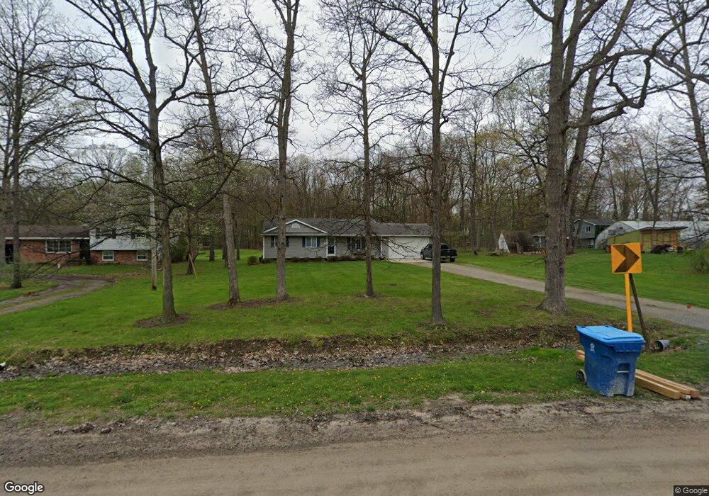
12040 Sharp Rd Linden, MI 48451
Estimated Value: $280,269 - $394,000
3
Beds
2
Baths
1,278
Sq Ft
$248/Sq Ft
Est. Value
About This Home
This home is located at 12040 Sharp Rd, Linden, MI 48451 and is currently estimated at $316,317, approximately $247 per square foot. 12040 Sharp Rd is a home located in Genesee County with nearby schools including Linden Elementary School, Linden Middle School, and Linden High School.
Ownership History
Date
Name
Owned For
Owner Type
Purchase Details
Closed on
Dec 3, 2024
Sold by
Stancato Dawn Tingstad and Ofarrell Dawn L
Bought by
Ofarrell Thomas E and Ofarrell Dawn L
Current Estimated Value
Purchase Details
Closed on
Jun 11, 2004
Sold by
Williams Joshua E and Williams Carrie L
Bought by
Stancato Dawn Tingstad
Home Financials for this Owner
Home Financials are based on the most recent Mortgage that was taken out on this home.
Original Mortgage
$156,700
Interest Rate
6.46%
Mortgage Type
Purchase Money Mortgage
Purchase Details
Closed on
Jun 6, 2003
Sold by
Turner Thomas Ray and Turner Joanne Marie
Bought by
Williams Joshua E and Leuneberg Neil O
Create a Home Valuation Report for This Property
The Home Valuation Report is an in-depth analysis detailing your home's value as well as a comparison with similar homes in the area
Home Values in the Area
Average Home Value in this Area
Purchase History
| Date | Buyer | Sale Price | Title Company |
|---|---|---|---|
| Ofarrell Thomas E | -- | None Listed On Document | |
| Ofarrell Thomas E | -- | None Listed On Document | |
| Stancato Dawn Tingstad | $156,700 | Lawyers Title | |
| Williams Joshua E | $15,000 | Lawyers Title |
Source: Public Records
Mortgage History
| Date | Status | Borrower | Loan Amount |
|---|---|---|---|
| Previous Owner | Stancato Dawn Tingstad | $156,700 |
Source: Public Records
Tax History
| Year | Tax Paid | Tax Assessment Tax Assessment Total Assessment is a certain percentage of the fair market value that is determined by local assessors to be the total taxable value of land and additions on the property. | Land | Improvement |
|---|---|---|---|---|
| 2025 | $3,006 | $132,200 | $0 | $0 |
| 2024 | $1,350 | $127,500 | $0 | $0 |
| 2023 | $1,267 | $116,900 | $0 | $0 |
| 2022 | $2,601 | $105,500 | $0 | $0 |
| 2021 | $2,605 | $94,300 | $0 | $0 |
| 2020 | $1,124 | $92,100 | $0 | $0 |
| 2019 | $1,128 | $86,800 | $0 | $0 |
| 2018 | $2,427 | $87,900 | $0 | $0 |
| 2017 | $2,276 | $90,100 | $0 | $0 |
| 2016 | $2,316 | $75,800 | $0 | $0 |
| 2015 | $2,281 | $72,800 | $0 | $0 |
| 2014 | $1,046 | $67,400 | $0 | $0 |
| 2012 | -- | $62,800 | $62,800 | $0 |
Source: Public Records
Map
Nearby Homes
- 12521 Sharp Rd
- 6044 Lahring Rd
- 6030 Lahring Rd
- 5528 Lahring Rd
- 13150 Westwinds Dr
- 13180 Westwinds Dr
- 13168 Westwinds Dr
- 13138 Westwinds Dr
- 13102 Westwinds Dr
- 13096 Westwinds Dr
- 13147 Westwinds Dr
- 13132 Westwinds Dr
- 13174 Westwinds Dr
- 13126 Westwinds Dr
- 13175 Westwinds Dr
- 13107 Stony Brook Pass
- 13158 Stony Brook Pass
- 13108 River Rock Pass Unit 99
- 13318 Westwinds Dr
- 13017 River Rock Pass
Your Personal Tour Guide
Ask me questions while you tour the home.