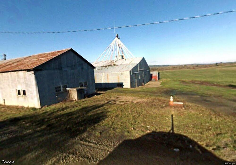
12040 Simpson Rd Monmouth, OR 97361
Estimated Value: $437,000 - $780,212
3
Beds
1
Bath
1,500
Sq Ft
$378/Sq Ft
Est. Value
About This Home
This home is located at 12040 Simpson Rd, Monmouth, OR 97361 and is currently estimated at $567,053, approximately $378 per square foot. 12040 Simpson Rd is a home located in Polk County with nearby schools including Monmouth Elementary School, Talmadge Middle School, and Central High School.
Ownership History
Date
Name
Owned For
Owner Type
Purchase Details
Closed on
Jul 18, 2011
Sold by
Derry Frederick
Bought by
Derry Molly M and Derry Molly
Current Estimated Value
Home Financials for this Owner
Home Financials are based on the most recent Mortgage that was taken out on this home.
Original Mortgage
$200,000
Interest Rate
4.45%
Mortgage Type
New Conventional
Purchase Details
Closed on
Jan 31, 2005
Sold by
Derry Frederick and Derry Molly
Bought by
Derry Frederick and Derry Molly
Home Financials for this Owner
Home Financials are based on the most recent Mortgage that was taken out on this home.
Original Mortgage
$106,600
Interest Rate
5.74%
Mortgage Type
New Conventional
Create a Home Valuation Report for This Property
The Home Valuation Report is an in-depth analysis detailing your home's value as well as a comparison with similar homes in the area
Home Values in the Area
Average Home Value in this Area
Purchase History
| Date | Buyer | Sale Price | Title Company |
|---|---|---|---|
| Derry Molly M | $67,922 | Chicago Title Company Oregon | |
| Derry Frederick | -- | Lawyers Title Ins |
Source: Public Records
Mortgage History
| Date | Status | Borrower | Loan Amount |
|---|---|---|---|
| Closed | Derry Molly M | $200,000 | |
| Closed | Derry Frederick | $106,600 |
Source: Public Records
Tax History Compared to Growth
Tax History
| Year | Tax Paid | Tax Assessment Tax Assessment Total Assessment is a certain percentage of the fair market value that is determined by local assessors to be the total taxable value of land and additions on the property. | Land | Improvement |
|---|---|---|---|---|
| 2025 | $2,427 | $195,391 | $42,041 | $153,350 |
| 2024 | $2,427 | $189,886 | $40,996 | $148,890 |
| 2023 | $2,587 | $184,544 | $39,984 | $144,560 |
| 2022 | $2,273 | $179,348 | $38,998 | $140,350 |
| 2021 | $2,259 | $174,313 | $38,043 | $136,270 |
| 2020 | $2,197 | $169,416 | $37,106 | $132,310 |
| 2019 | $2,134 | $164,604 | $36,144 | $128,460 |
| 2018 | $2,057 | $159,931 | $35,211 | $124,720 |
| 2017 | $2,062 | $155,392 | $34,302 | $121,090 |
| 2016 | $2,136 | $150,988 | $33,418 | $117,570 |
| 2015 | $2,032 | $146,707 | $32,557 | $114,150 |
| 2014 | $1,986 | $142,560 | $31,730 | $110,830 |
Source: Public Records
Map
Nearby Homes
- 11660 Simpson Rd
- 11090 Simpson Rd
- 11050 Elkins (Next To) Rd
- 11495 Helmick Rd
- 14060 Simpson Rd
- 8975 S Pacific Hwy W
- 0 Airlie Rd
- 0 Westview Ln Unit 24100906
- 0 Westview Ln Unit 822683
- 0 Next To Airlie Rd Unit 220204700
- 0 Next To Airlie Rd Unit 830692
- 8645 Highland Rd
- 13100 Rd
- 13260 Fishback Rd
- 13530 Fishback Rd
- 10042 Helmick Rd
- 10042/10044 Helmick Rd
- 7340/7350 Smith Rd
- 7350 Smith Rd
- 13310 Monmouth Hwy