12041 Farrar Rd Bentonville, AR 72713
Estimated Value: $478,482 - $564,000
--
Bed
2
Baths
1,656
Sq Ft
$312/Sq Ft
Est. Value
About This Home
This home is located at 12041 Farrar Rd, Bentonville, AR 72713 and is currently estimated at $516,871, approximately $312 per square foot. 12041 Farrar Rd is a home located in Benton County with nearby schools including Evening Star Elementary School, Bright Field Middle School, and Grimsley Junior High School.
Ownership History
Date
Name
Owned For
Owner Type
Purchase Details
Closed on
Oct 30, 2009
Sold by
Cole Bobby W and Cole Bryan W
Bought by
Cole Billye J
Current Estimated Value
Purchase Details
Closed on
Jan 16, 1989
Bought by
Cole
Purchase Details
Closed on
Jul 23, 1981
Bought by
Cole
Purchase Details
Closed on
Oct 6, 1978
Bought by
Garvin
Purchase Details
Closed on
Feb 21, 1976
Bought by
Shook Theron
Create a Home Valuation Report for This Property
The Home Valuation Report is an in-depth analysis detailing your home's value as well as a comparison with similar homes in the area
Home Values in the Area
Average Home Value in this Area
Purchase History
| Date | Buyer | Sale Price | Title Company |
|---|---|---|---|
| Cole Billye J | -- | None Available | |
| Cole | -- | -- | |
| Cole | $54,000 | -- | |
| Garvin | $44,000 | -- | |
| Shook Theron | -- | -- |
Source: Public Records
Tax History Compared to Growth
Tax History
| Year | Tax Paid | Tax Assessment Tax Assessment Total Assessment is a certain percentage of the fair market value that is determined by local assessors to be the total taxable value of land and additions on the property. | Land | Improvement |
|---|---|---|---|---|
| 2025 | $1,305 | $48,280 | $6,566 | $41,714 |
| 2024 | $1,201 | $48,401 | $6,687 | $41,714 |
| 2023 | $1,092 | $30,470 | $4,870 | $25,600 |
| 2022 | $750 | $30,470 | $4,870 | $25,600 |
| 2021 | $747 | $30,470 | $4,870 | $25,600 |
| 2020 | $760 | $20,460 | $2,920 | $17,540 |
| 2019 | $760 | $20,460 | $2,920 | $17,540 |
| 2018 | $785 | $20,460 | $2,920 | $17,540 |
| 2017 | $749 | $20,460 | $2,920 | $17,540 |
| 2016 | $749 | $20,460 | $2,920 | $17,540 |
| 2015 | $1,096 | $19,540 | $2,950 | $16,590 |
| 2014 | $749 | $19,540 | $2,950 | $16,590 |
Source: Public Records
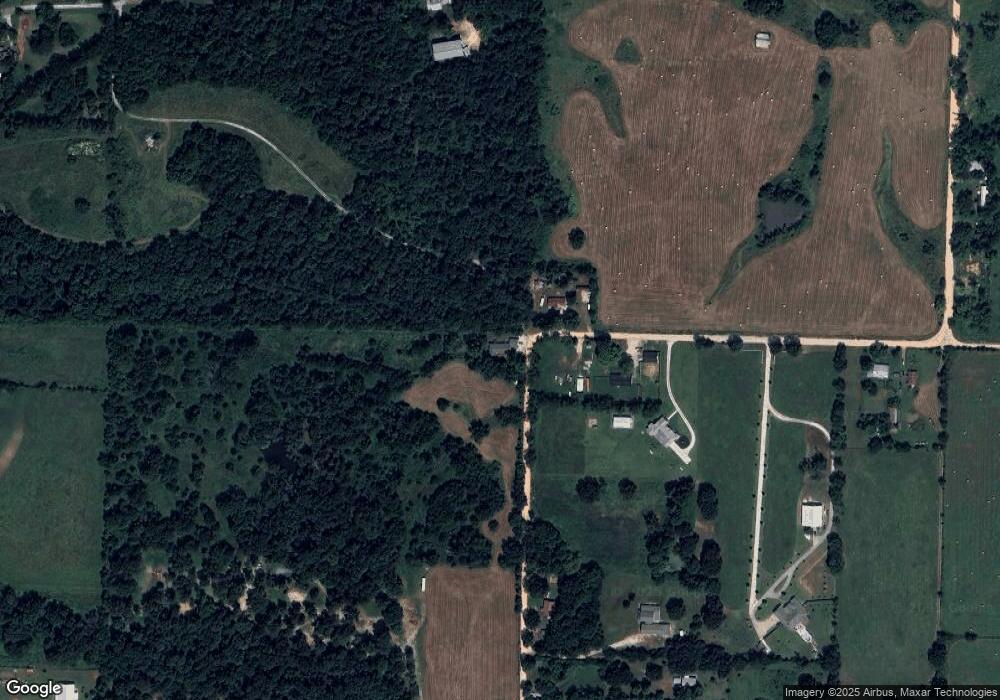
Map
Nearby Homes
- 4 AC Farrar Rd Unit Tract 5
- 4 AC Farrar Rd Unit Tract 1
- 8 AC Farrar Rd
- 12130 Farrar Rd
- 0 Arkansas 264
- Tract 5, Lot 2 Farrar Rd
- 11962 Farrar Rd
- Tract 5, Lot 1 Farrar Rd
- 11964 Long Acres Dr
- 9723 Thunderhead Ln
- 9739 Soaring Hawk Dr
- 1067 Torrey Pines Ln
- 308 Deere Run Dr
- 304 Doral Dr
- 201 Doral Dr
- 323 & 335 S Main St
- 1359 Duffers Ct
- Lot1, Block 2 Pintail Ln
- 1362 Duffers Ct
- Lot 4 Pintail Ln
- Tract 1 - 1.0 Acre Farrar Rd
- 12033 Farrar Rd
- 12022 Farrar Rd
- Tract 1 - 3.55 Acres Farrar Rd
- 12016 Farrar Rd
- Tract 2 - 3.55 Acres Farrar Rd
- 12088 Farrar Rd
- 0 Farrar Rd Unit 1245282
- 0 Farrar Rd
- Tract 3 - 2.37 Acres Farrar Rd
- 10267 W Highway 264
- 12182 Farrar Rd
- 12008 Farrar Rd
- 12000 Farrar Rd
- 12136 Farrar Rd
- 12227 Farrar Rd
- 11982 Farrar Ln
- 10107 Atkins Rd
- 11940 Farrar Rd
- 36.93 Acres Howard Ln