12041 Sparrow Point Rd MacHipongo, VA 23405
Machipongo NeighborhoodEstimated Value: $631,000 - $701,000
--
Bed
--
Bath
2,420
Sq Ft
$274/Sq Ft
Est. Value
About This Home
This home is located at 12041 Sparrow Point Rd, MacHipongo, VA 23405 and is currently estimated at $664,139, approximately $274 per square foot. 12041 Sparrow Point Rd is a home located in Northampton County with nearby schools including Northampton High School.
Ownership History
Date
Name
Owned For
Owner Type
Purchase Details
Closed on
Apr 15, 2022
Sold by
Andersen Robert L and Andersen Deborah J
Bought by
Andersen Living Trust
Current Estimated Value
Create a Home Valuation Report for This Property
The Home Valuation Report is an in-depth analysis detailing your home's value as well as a comparison with similar homes in the area
Home Values in the Area
Average Home Value in this Area
Purchase History
| Date | Buyer | Sale Price | Title Company |
|---|---|---|---|
| Andersen Living Trust | -- | Carrell Blanton Ferris & Assoc |
Source: Public Records
Tax History Compared to Growth
Tax History
| Year | Tax Paid | Tax Assessment Tax Assessment Total Assessment is a certain percentage of the fair market value that is determined by local assessors to be the total taxable value of land and additions on the property. | Land | Improvement |
|---|---|---|---|---|
| 2024 | $4,157 | $606,800 | $333,000 | $273,800 |
| 2023 | $3,789 | $498,500 | $275,400 | $223,100 |
| 2022 | $3,789 | $498,500 | $275,400 | $223,100 |
| 2021 | $3,854 | $461,600 | $240,000 | $221,600 |
| 2020 | $3,854 | $461,600 | $240,000 | $221,600 |
| 2019 | $3,861 | $465,200 | $240,000 | $225,200 |
| 2018 | $3,861 | $465,200 | $240,000 | $225,200 |
| 2017 | $3,825 | $465,200 | $240,000 | $225,200 |
| 2016 | $3,825 | $460,800 | $233,000 | $227,800 |
| 2015 | -- | $460,800 | $233,000 | $227,800 |
| 2011 | -- | $493,200 | $258,000 | $235,200 |
Source: Public Records
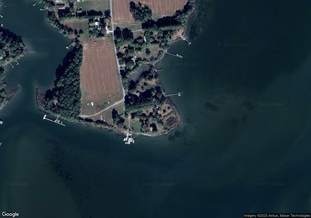
Map
Nearby Homes
- 3391 Vaucluse Ln Unit 3
- 12069 Blue Teal Ln
- 4375 White Tail Ln
- 11474 Widgeon Ln
- 11479 Pintail Ct
- Lot 42 T-1514 Unit 42
- 00 White Tail Ln
- A6B White Tail Ln Unit A6B
- 0 White Tail Ln Unit 21721763
- Lot 1 Wilsonia Harbor Way Unit 1
- 3202 Black Drum Ln
- Lot 158 Spoonbill Ln Unit 158
- 4442 Wilsonia Shores Dr
- Lot E Sparrow Point Rd Unit E
- 12429 Wilsonia Harbor Way
- 12103 Trout Ln
- 0 Heron Dr Unit 259 65159
- Lot 202 Heron Dr Unit 202
- Lot 287 Heron Dr Unit 287
- 11576 Heron Dr
- 12041 Sparrow Point Rd
- 12033 Sparrow Point Rd
- 12045 Sparrow Point Rd
- 12019 Sparrow Point Rd
- 12038 Sparrow Point Rd
- 12038 Sparrow Point Rd
- 11617 Sparrow Point Rd
- 11611 Sparrow Point Rd
- 11596 Sparrow Point Rd Unit 11
- 11596 Sparrow Point Rd
- 11593 Sparrow Point Rd
- 11593 Sparrow Point Rd
- 11593 Sparrow Point Rd
- 4140 Sparrow Point Rd
- 11576 Sparrow Point Rd
- 11572 Sparrow Point Rd
- 3460 Sparrow Point Ln
- 3495 Sparrow Point Rd
- 3390 Vaucluse Ln
- 3376 Vaucluse Ln