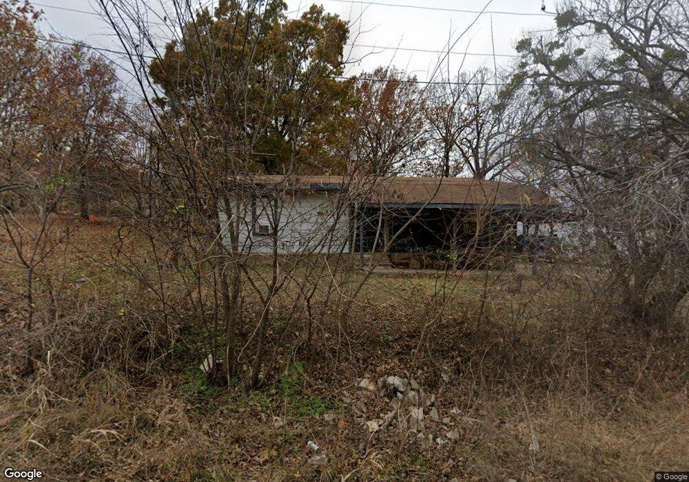
120446 S 4183 Rd Eufaula, OK 74432
Estimated Value: $89,872 - $178,000
2
Beds
1
Bath
1,044
Sq Ft
$127/Sq Ft
Est. Value
About This Home
This home is located at 120446 S 4183 Rd, Eufaula, OK 74432 and is currently estimated at $132,718, approximately $127 per square foot. 120446 S 4183 Rd is a home with nearby schools including Eufaula Elementary School, Eufaula Middle School, and Eufaula High School.
Ownership History
Date
Name
Owned For
Owner Type
Purchase Details
Closed on
Sep 12, 2007
Sold by
Weston Paul C and Weston Dorothy J
Bought by
Tarpenning Bob A
Current Estimated Value
Home Financials for this Owner
Home Financials are based on the most recent Mortgage that was taken out on this home.
Original Mortgage
$50,212
Outstanding Balance
$31,857
Interest Rate
6.7%
Mortgage Type
FHA
Estimated Equity
$100,861
Create a Home Valuation Report for This Property
The Home Valuation Report is an in-depth analysis detailing your home's value as well as a comparison with similar homes in the area
Home Values in the Area
Average Home Value in this Area
Purchase History
| Date | Buyer | Sale Price | Title Company |
|---|---|---|---|
| Tarpenning Bob A | $51,000 | None Available |
Source: Public Records
Mortgage History
| Date | Status | Borrower | Loan Amount |
|---|---|---|---|
| Open | Tarpenning Bob A | $50,212 |
Source: Public Records
Tax History
| Year | Tax Paid | Tax Assessment Tax Assessment Total Assessment is a certain percentage of the fair market value that is determined by local assessors to be the total taxable value of land and additions on the property. | Land | Improvement |
|---|---|---|---|---|
| 2025 | $304 | $3,477 | $330 | $3,147 |
| 2024 | $289 | $3,477 | $330 | $3,147 |
| 2023 | $289 | $3,154 | $330 | $2,824 |
| 2022 | $259 | $3,127 | $330 | $2,797 |
| 2021 | $269 | $3,207 | $330 | $2,877 |
| 2020 | $325 | $3,870 | $330 | $3,540 |
| 2019 | $328 | $3,870 | $330 | $3,540 |
| 2018 | $322 | $3,871 | $330 | $3,541 |
| 2017 | $322 | $3,871 | $330 | $3,541 |
| 2016 | $324 | $3,871 | $330 | $3,541 |
| 2015 | $332 | $4,016 | $330 | $3,686 |
| 2014 | $329 | $4,016 | $330 | $3,686 |
Source: Public Records
Map
Nearby Homes
- 120347 S 4186 Rd
- 120290 S 4182 Rd
- 8 E 1200
- 6 E 1200
- 0 Choctaw Dr Unit 2514518
- 0 Choctaw Dr Unit 2515676
- 0 Choctaw Dr Unit 2515656
- 0000 Choctaw Dr
- 4 E 1200
- 989 Sequoyah Dr
- 0 Quapaw St Unit 2540983
- 30 Park St Unit C
- 20 Redbud Ln Unit B
- 589 Mohawk
- 721 Mohawk Dr
- 10 Highway 9
- 12 Highway 9
- 1 Highway 9
- 16 Highway 9
- 0 Comanche Dr Unit OKC1219168
- 120372 S 4183 Rd
- 0 Lynn Lane Way Unit 1705312
- 0 Lynn Lane Way Unit 1731216
- 120269 S 4183 Rd
- 280 Rr 5
- 40 Red Bud
- 49 Red Bud
- 418554 E 1205 Rd
- 284 Rr 5
- 120102 S 4183 Rd
- 000 N 4184 Rd
- 418372 E 1203 Rd
- 264 Rr 5
- 120433 S 4186 Rd
- 0 SE Peters Point Unit 1608609
- 0 SE Peters Point Unit 1550795
- 120110 S 4184 Rd
- 120361 S 4186 Rd
- 0 Dogwood Ln
Your Personal Tour Guide
Ask me questions while you tour the home.