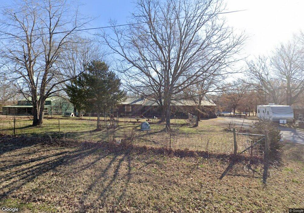
12045 W 161st St S Sapulpa, OK 74066
Estimated Value: $237,000 - $286,676
3
Beds
2
Baths
1,962
Sq Ft
$134/Sq Ft
Est. Value
About This Home
This home is located at 12045 W 161st St S, Sapulpa, OK 74066 and is currently estimated at $263,669, approximately $134 per square foot. 12045 W 161st St S is a home located in Creek County with nearby schools including Lone Star Public School.
Ownership History
Date
Name
Owned For
Owner Type
Purchase Details
Closed on
May 31, 2023
Sold by
Morgan Family Land Development Llc
Bought by
Flores Bernatlino and Deflores Rosa M
Current Estimated Value
Purchase Details
Closed on
Apr 5, 2023
Sold by
Morgan Family Land Development Llc
Bought by
Morgan Family Land Development Llc
Purchase Details
Closed on
Mar 28, 2023
Sold by
Morgan Family Land Development Llc
Bought by
Morgan Family Land Development Llc
Purchase Details
Closed on
Feb 28, 2023
Sold by
Morgan Glenn D and Morgan Abigail
Bought by
Morgan Family Land Development Llc
Purchase Details
Closed on
Apr 28, 2005
Sold by
Sapulpa Victory Christain Center Church
Bought by
Morgan Perry A and Morgan Theresa Rena
Purchase Details
Closed on
Jan 21, 1999
Sold by
Sapulpa Victory Christain
Bought by
Morgan Perry A and Morgan Theresa R
Create a Home Valuation Report for This Property
The Home Valuation Report is an in-depth analysis detailing your home's value as well as a comparison with similar homes in the area
Home Values in the Area
Average Home Value in this Area
Purchase History
| Date | Buyer | Sale Price | Title Company |
|---|---|---|---|
| Flores Bernatlino | $50,000 | None Listed On Document | |
| Flores Bernatlino | $50,000 | None Listed On Document | |
| Morgan Family Land Development Llc | -- | -- | |
| Morgan Family Land Development Llc | -- | -- | |
| Morgan Family Land Development Llc | -- | -- | |
| Morgan Family Land Development Llc | -- | -- | |
| Morgan Perry A | -- | None Available | |
| Morgan Perry A | $25,000 | -- |
Source: Public Records
Tax History Compared to Growth
Tax History
| Year | Tax Paid | Tax Assessment Tax Assessment Total Assessment is a certain percentage of the fair market value that is determined by local assessors to be the total taxable value of land and additions on the property. | Land | Improvement |
|---|---|---|---|---|
| 2024 | $832 | $11,498 | $1,623 | $9,875 |
| 2023 | $832 | $11,498 | $1,719 | $9,779 |
| 2022 | $956 | $11,498 | $1,777 | $9,721 |
| 2021 | $957 | $11,498 | $2,171 | $9,327 |
| 2020 | $1,160 | $11,498 | $2,705 | $8,793 |
| 2019 | $1,130 | $13,170 | $2,705 | $10,465 |
| 2018 | $1,151 | $13,261 | $2,705 | $10,556 |
| 2017 | $1,170 | $13,261 | $2,705 | $10,556 |
| 2016 | $1,189 | $13,261 | $2,705 | $10,556 |
| 2015 | -- | $13,261 | $2,705 | $10,556 |
| 2014 | -- | $13,082 | $3,136 | $9,946 |
Source: Public Records
Map
Nearby Homes
- 0 W 161st St S Unit 2540488
- 114 W 165th St S
- 115 W 165th St S
- 125 W 165th St S
- 15969 S Main St
- 16042 S 97th West Ave
- 13900 W 146th St S
- 17421 S 145th West Ave
- 15116 S 90th West Ave
- 8850 W 151st St S
- 9352 W 176th St S
- 18321 S 103rd West Ave
- 416 W Fairlane Dr Unit A-B
- 11967 W 186th St S
- 273 W Fairlane Dr
- 9467 W 181st St S
- 16739 Maple Dr
- 10 W Fairlane Place
- 26 W Fairlane Ct
- 29 E Fairlane Place
- 0 161 St
- 0 W 161st St S Unit 2343026
- 0 W 161st St S Unit 1550014
- 0 W 161st St S Unit 1622178
- 0 W 161st St S Unit 1740628
- 12115 W 161st St S
- 11907 W 161st St S
- 12016 W 161st St S
- 11946 W 161st St S
- 11904 W 161st St S
- 11806 W 161st St S
- 16446 W 161st St S
- 12105 W 161st St S
- 11909 W 162nd St S
- 11847 W 162nd St S
- 11708 W 161st St S
- 11801 W 162nd St S
- 16272 S 120th West Ave
- 11882 W 162nd St S
- 11795 W 161st St S