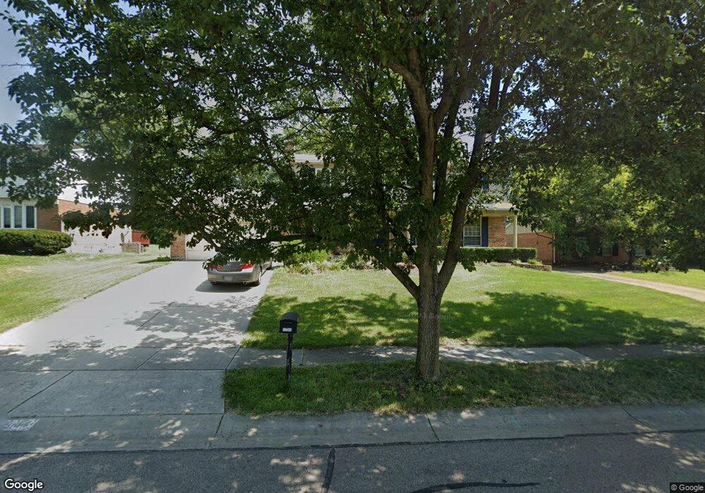
12048 Cantrell Dr Cincinnati, OH 45246
Estimated Value: $323,000 - $373,000
4
Beds
4
Baths
2,282
Sq Ft
$156/Sq Ft
Est. Value
About This Home
This home is located at 12048 Cantrell Dr, Cincinnati, OH 45246 and is currently estimated at $355,964, approximately $155 per square foot. 12048 Cantrell Dr is a home located in Hamilton County with nearby schools including Springdale Elementary School, Princeton Community Middle School, and Princeton High School.
Ownership History
Date
Name
Owned For
Owner Type
Purchase Details
Closed on
Jul 20, 2005
Sold by
Croley Gary L and Croley Sammie L
Bought by
Harris Reginald and Davis Harris Marcelene
Current Estimated Value
Home Financials for this Owner
Home Financials are based on the most recent Mortgage that was taken out on this home.
Original Mortgage
$176,900
Outstanding Balance
$90,277
Interest Rate
5.71%
Mortgage Type
Fannie Mae Freddie Mac
Estimated Equity
$265,687
Create a Home Valuation Report for This Property
The Home Valuation Report is an in-depth analysis detailing your home's value as well as a comparison with similar homes in the area
Home Values in the Area
Average Home Value in this Area
Purchase History
| Date | Buyer | Sale Price | Title Company |
|---|---|---|---|
| Harris Reginald | $176,900 | Prominent Title Agency Llc |
Source: Public Records
Mortgage History
| Date | Status | Borrower | Loan Amount |
|---|---|---|---|
| Open | Harris Reginald | $176,900 |
Source: Public Records
Tax History Compared to Growth
Tax History
| Year | Tax Paid | Tax Assessment Tax Assessment Total Assessment is a certain percentage of the fair market value that is determined by local assessors to be the total taxable value of land and additions on the property. | Land | Improvement |
|---|---|---|---|---|
| 2024 | $4,027 | $93,457 | $14,168 | $79,289 |
| 2023 | $4,037 | $93,457 | $14,168 | $79,289 |
| 2022 | $3,543 | $66,714 | $11,869 | $54,845 |
| 2021 | $3,445 | $66,714 | $11,869 | $54,845 |
| 2020 | $3,489 | $66,714 | $11,869 | $54,845 |
| 2019 | $3,227 | $57,019 | $10,143 | $46,876 |
| 2018 | $3,036 | $57,019 | $10,143 | $46,876 |
| 2017 | $2,850 | $57,019 | $10,143 | $46,876 |
| 2016 | $2,859 | $56,795 | $10,595 | $46,200 |
| 2015 | $2,888 | $56,795 | $10,595 | $46,200 |
| 2014 | $3,556 | $56,795 | $10,595 | $46,200 |
| 2013 | $3,015 | $60,421 | $11,270 | $49,151 |
Source: Public Records
Map
Nearby Homes
- 12069 Cantrell Dr
- 12189 Kenn Rd
- 839 Summerfield Ln
- 805 Halesworth Dr
- 21 Aspen Ct
- 755 Hanson Dr
- 3323 Devonian Dr
- 11685 Hamlet Rd
- 11649 Kenn Rd
- 10 Woodside Ct
- 3721 Mack Rd
- 11696 Hinkley Dr
- 38 Providence Dr
- 3891 Mack Rd Unit 128
- 3891 Mack Rd
- 659 W Kemper Rd
- 784 Farnham Ct
- 11866 Hitchcock Dr
- 962 Harrogate Ct
- 967 Harrogate Ct
- 12056 Cantrell Dr
- 12042 Cantrell Dr
- 12032 Cantrell Dr
- 12055 Greencastle Dr
- 12045 Greencastle Dr
- 695 Harcourt Dr
- 12066 Cantrell Dr
- 12035 Greencastle Dr
- 691 Harcourt Dr
- 12039 Cantrell Dr
- 12049 Cantrell Dr
- 12029 Cantrell Dr
- 12022 Cantrell Dr
- 12059 Cantrell Dr
- 12025 Greencastle Dr
- 12065 Greencastle Dr
- 12023 Cantrell Dr
- 12015 Greencastle Dr
- 12012 Cantrell Dr
- 12013 Cantrell Dr