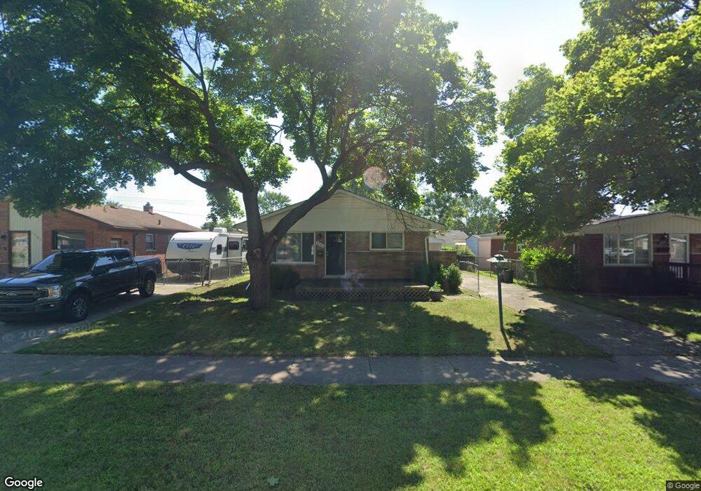
1205 Alvin St Unit Bldg-Unit Westland, MI 48186
Estimated Value: $207,000 - $243,000
--
Bed
2
Baths
1,007
Sq Ft
$220/Sq Ft
Est. Value
About This Home
This home is located at 1205 Alvin St Unit Bldg-Unit, Westland, MI 48186 and is currently estimated at $221,932, approximately $220 per square foot. 1205 Alvin St Unit Bldg-Unit is a home located in Wayne County with nearby schools including Alexander Hamilton Elementary School, Adams Middle School, and Benjamin Franklin Middle School.
Ownership History
Date
Name
Owned For
Owner Type
Purchase Details
Closed on
Mar 10, 2017
Sold by
B And M Acquisitions Llc
Bought by
Baoh Marushka
Current Estimated Value
Purchase Details
Closed on
May 19, 2016
Sold by
Jpmorgan Chase Bank National Association
Bought by
B & M Acquisitions Llc
Purchase Details
Closed on
Sep 10, 2015
Sold by
Bak Michael A
Bought by
Jpmorgan Chase Bank National Association
Purchase Details
Closed on
Nov 23, 1999
Sold by
Downey James P
Bought by
Bak Michael A
Create a Home Valuation Report for This Property
The Home Valuation Report is an in-depth analysis detailing your home's value as well as a comparison with similar homes in the area
Home Values in the Area
Average Home Value in this Area
Purchase History
| Date | Buyer | Sale Price | Title Company |
|---|---|---|---|
| Baoh Marushka | $133,500 | None Available | |
| B & M Acquisitions Llc | $73,000 | Servicelink | |
| Jpmorgan Chase Bank National Association | $57,670 | Attorney | |
| Bak Michael A | $118,000 | -- |
Source: Public Records
Tax History Compared to Growth
Tax History
| Year | Tax Paid | Tax Assessment Tax Assessment Total Assessment is a certain percentage of the fair market value that is determined by local assessors to be the total taxable value of land and additions on the property. | Land | Improvement |
|---|---|---|---|---|
| 2025 | $2,359 | $89,000 | $0 | $0 |
| 2024 | $2,359 | $84,100 | $0 | $0 |
| 2023 | $2,253 | $73,500 | $0 | $0 |
| 2022 | $2,624 | $64,700 | $0 | $0 |
| 2021 | $2,558 | $61,600 | $0 | $0 |
| 2020 | $2,530 | $56,500 | $0 | $0 |
| 2019 | $2,438 | $55,200 | $0 | $0 |
| 2018 | $1,853 | $47,400 | $0 | $0 |
| 2017 | $842 | $44,100 | $0 | $0 |
| 2016 | $2,131 | $43,800 | $0 | $0 |
| 2015 | $3,492 | $39,340 | $0 | $0 |
| 2013 | $3,383 | $34,610 | $0 | $0 |
| 2012 | $1,599 | $34,050 | $0 | $0 |
Source: Public Records
Map
Nearby Homes
- 1163 Denice St
- 32732 Glen St
- 0000 Barrington Ave
- 754 Alvin St
- 32508 Avondale St
- 711 S Hawthorne St
- 34114 Avondale St
- 32411 Grandview Ave
- 2075 Alanson St
- 183 Daniel Ave Unit 6
- 535 S Hubbard St
- 32154 Melton St
- 32155 Melton St
- 00000 Cherry Hill Rd
- 1631 Ackley Ave
- 2017 Eastport St
- 34553 Hazelwood St
- 451 Darwin St
- 32140 Palmer Rd
- 32332 Kalamazoo Ct