1205 Anvil Ct University Park, IL 60484
Estimated Value: $221,469 - $316,000
--
Bed
1
Bath
2,398
Sq Ft
$116/Sq Ft
Est. Value
About This Home
This home is located at 1205 Anvil Ct, University Park, IL 60484 and is currently estimated at $277,617, approximately $115 per square foot. 1205 Anvil Ct is a home located in Will County with nearby schools including Monee Elementary School, Crete-Monee Middle School, and Crete-Monee High School.
Ownership History
Date
Name
Owned For
Owner Type
Purchase Details
Closed on
Jun 3, 2000
Sold by
Hill Debbie A
Bought by
Hill Debbie A and Hill Annie L
Current Estimated Value
Create a Home Valuation Report for This Property
The Home Valuation Report is an in-depth analysis detailing your home's value as well as a comparison with similar homes in the area
Home Values in the Area
Average Home Value in this Area
Purchase History
| Date | Buyer | Sale Price | Title Company |
|---|---|---|---|
| Hill Debbie A | -- | -- |
Source: Public Records
Tax History Compared to Growth
Tax History
| Year | Tax Paid | Tax Assessment Tax Assessment Total Assessment is a certain percentage of the fair market value that is determined by local assessors to be the total taxable value of land and additions on the property. | Land | Improvement |
|---|---|---|---|---|
| 2024 | $4,698 | $82,974 | $10,910 | $72,064 |
| 2023 | $4,698 | $71,529 | $9,405 | $62,124 |
| 2022 | $5,980 | $62,921 | $8,273 | $54,648 |
| 2021 | $6,258 | $58,231 | $7,523 | $50,708 |
| 2020 | $6,413 | $56,343 | $7,279 | $49,064 |
| 2019 | $7,691 | $53,431 | $6,903 | $46,528 |
| 2018 | $7,579 | $51,801 | $6,750 | $45,051 |
| 2017 | $7,484 | $50,239 | $6,539 | $43,700 |
| 2016 | $7,117 | $47,997 | $6,302 | $41,695 |
| 2015 | $6,628 | $45,073 | $5,831 | $39,242 |
| 2014 | $6,628 | $45,697 | $5,826 | $39,871 |
| 2013 | $6,628 | $47,850 | $6,100 | $41,750 |
Source: Public Records
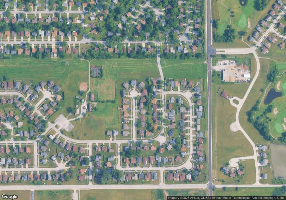
Map
Nearby Homes
- 1061 Amherst Ln
- 1043 Ashridge Ln
- 1109 Abbot Ln
- 469 Fairway Ln
- 618 Old Forge Ln
- 1116 Amherst Ln
- 453 Fairway Ct
- 1031 Blackhawk Dr
- 740 Mission St
- 1001 Blackhawk Dr
- 754 Mission Dr
- 524 Regent Rd
- 607 Sullivan Ln
- 903 Blackhawk Dr
- 608 Sullivan Ln
- 815 Blackhawk Dr
- 807 Blackhawk Dr
- 0 S Nacke Rd
- 735 Union Dr
- 882 White Oak Ln Unit 3