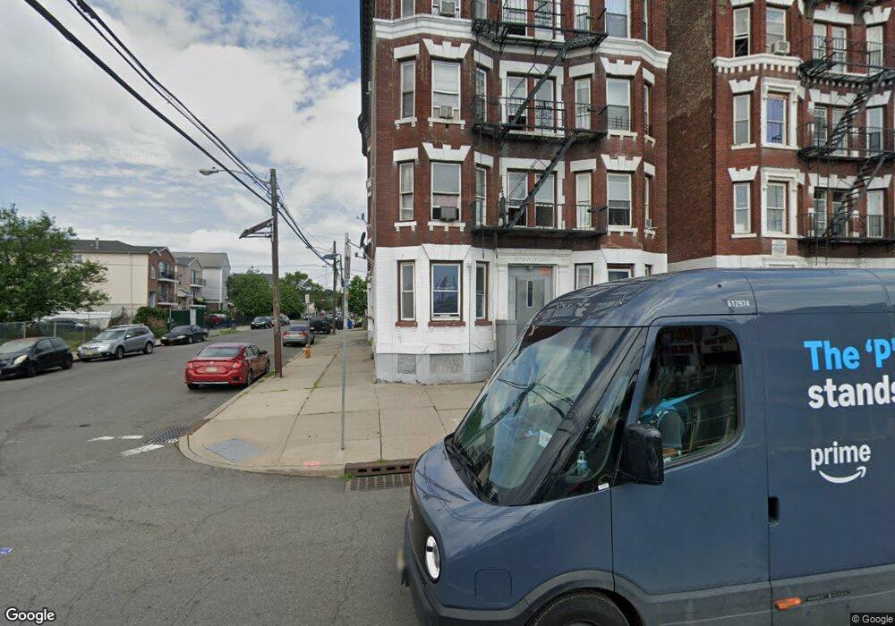
1205 Broad St Newark, NJ 07114
South Broad Valley NeighborhoodEstimated Value: $1,538,000
1
Bed
--
Bath
500
Sq Ft
$3,076/Sq Ft
Est. Value
About This Home
This home is located at 1205 Broad St, Newark, NJ 07114 and is currently estimated at $1,538,000, approximately $3,076 per square foot. 1205 Broad St is a home located in Essex County with nearby schools including Louise A. Spencer School, Belmont Runyon School, and Peshine Avenue Elementary School.
Ownership History
Date
Name
Owned For
Owner Type
Purchase Details
Closed on
Nov 27, 2024
Sold by
1203-1205 Broad Nj Llc
Bought by
1203-1205 Broad De Llc
Current Estimated Value
Home Financials for this Owner
Home Financials are based on the most recent Mortgage that was taken out on this home.
Original Mortgage
$4,127,500
Interest Rate
6.6%
Mortgage Type
New Conventional
Purchase Details
Closed on
Sep 6, 2023
Sold by
1203 Broad Street Limited Liability Comp
Bought by
1203-1205 Broad Nj Llc
Home Financials for this Owner
Home Financials are based on the most recent Mortgage that was taken out on this home.
Original Mortgage
$3,850,000
Interest Rate
7.23%
Mortgage Type
New Conventional
Purchase Details
Closed on
Nov 20, 2014
Bought by
1203 Broad Street Llc
Purchase Details
Closed on
Mar 23, 2004
Sold by
Petrillo Thomas
Bought by
St 1205 Broad
Create a Home Valuation Report for This Property
The Home Valuation Report is an in-depth analysis detailing your home's value as well as a comparison with similar homes in the area
Home Values in the Area
Average Home Value in this Area
Purchase History
We collect this data history from publicly available records. To have your information removed, we recommend requesting removal directly through your county’s website.
| Date | Buyer | Sale Price | Title Company |
|---|---|---|---|
| 1203-1205 Broad De Llc | -- | None Listed On Document | |
| 1203-1205 Broad Nj Llc | $5,500,000 | Cross Bridge Title | |
| 1203 Broad Street Llc | $1,285,000 | -- | |
| St 1205 Broad | $515,000 | -- |
Source: Public Records
Mortgage History
We collect this data history from publicly available records. To have your information removed, we recommend requesting removal directly through your county’s website.
| Date | Status | Borrower | Loan Amount |
|---|---|---|---|
| Previous Owner | 1203-1205 Broad De Llc | $4,127,500 | |
| Previous Owner | 1203-1205 Broad Nj Llc | $3,850,000 |
Source: Public Records
Tax History
| Year | Tax Paid | Tax Assessment Tax Assessment Total Assessment is a certain percentage of the fair market value that is determined by local assessors to be the total taxable value of land and additions on the property. | Land | Improvement |
|---|---|---|---|---|
| 2025 | $26,507 | $1,000,000 | $320,000 | $680,000 |
| 2024 | $25,984 | $697,000 | $320,000 | $377,000 |
| 2022 | $26,040 | $697,000 | $320,000 | $377,000 |
| 2021 | $26,026 | $697,000 | $320,000 | $377,000 |
| 2020 | $26,486 | $697,000 | $320,000 | $377,000 |
| 2019 | $26,214 | $697,000 | $320,000 | $377,000 |
| 2018 | $25,740 | $697,000 | $320,000 | $377,000 |
| 2017 | $24,813 | $697,000 | $320,000 | $377,000 |
| 2016 | $28,105 | $817,000 | $320,000 | $497,000 |
| 2015 | $27,035 | $817,000 | $320,000 | $497,000 |
| 2014 | $25,335 | $817,000 | $320,000 | $497,000 |
Source: Public Records
Map
Nearby Homes
- 113-117 Vanderpool St
- 119-123 Vanderpool St
- 37 Emmet St
- 38 Emmet St
- 32 Emmet St
- 70 Sherman Ave
- 72 Sherman Ave
- 68 Sherman Ave
- 56 Vanderpool St
- 15-19 Tichenor Ln Unit 406
- 15-19 Tichenor Ln Unit 205
- 15-19 Tichenor Ln Unit 407
- 15-19 Tichenor Ln Unit 403
- 15-19 Tichenor Ln Unit 405
- 522 Mulberry St
- 84 Union St Unit C2
- 84 Union St Unit C3
- 84 Union St
- 194 Astor St
- 189 Astor St
- 1213-1221 Broad St
- 1213 Broad St
- 124 Miller St
- 1206 Broad St
- 1211 Broad St Unit 11
- 1211 Broad St Unit 10
- 1211 Broad St
- 1209 Broad St Unit 12
- 1209 Broad St Unit 9
- 1209 Broad St Unit 6
- 122 Miller St
- 127 Wright St
- 120 Miller St
- 125 Wright St
- 118 Miller St
- 116 Miller St
- 1205 Broad St Unit 6
- 1205 Broad St Unit 11
- 114 Miller St
- 112 Miller St
Your Personal Tour Guide
Ask me questions while you tour the home.