1205 Brookhaven Unit 47 48 Prescott, AZ 86301
Prescott Lakes NeighborhoodEstimated Value: $693,000 - $747,000
--
Bed
--
Bath
2,022
Sq Ft
$359/Sq Ft
Est. Value
About This Home
This home is located at 1205 Brookhaven Unit 47 48, Prescott, AZ 86301 and is currently estimated at $725,780, approximately $358 per square foot. 1205 Brookhaven Unit 47 48 is a home located in Yavapai County with nearby schools including Taylor Hicks School, Granite Mountain Middle School, and Prescott Mile High Middle School.
Ownership History
Date
Name
Owned For
Owner Type
Purchase Details
Closed on
Mar 25, 2022
Sold by
Mcgivern Patrick T and Mcgivern Pamela C
Bought by
Mcgivern Family Trust
Current Estimated Value
Purchase Details
Closed on
Jun 24, 2019
Sold by
Black Beverly J
Bought by
Mcgivern Patrick T and Mcgivern Pamela C
Create a Home Valuation Report for This Property
The Home Valuation Report is an in-depth analysis detailing your home's value as well as a comparison with similar homes in the area
Home Values in the Area
Average Home Value in this Area
Purchase History
| Date | Buyer | Sale Price | Title Company |
|---|---|---|---|
| Mcgivern Family Trust | -- | Walker & Walker | |
| Mcgivern Patrick T | $95,000 | Lawyers Title Yavapai |
Source: Public Records
Tax History Compared to Growth
Tax History
| Year | Tax Paid | Tax Assessment Tax Assessment Total Assessment is a certain percentage of the fair market value that is determined by local assessors to be the total taxable value of land and additions on the property. | Land | Improvement |
|---|---|---|---|---|
| 2026 | $2,262 | $59,701 | -- | -- |
| 2024 | $2,216 | $60,087 | -- | -- |
| 2023 | $2,216 | $48,862 | $11,496 | $37,366 |
| 2022 | $2,172 | $16,723 | $16,723 | $0 |
| 2021 | $574 | $12,885 | $12,885 | $0 |
| 2020 | $575 | $0 | $0 | $0 |
| 2019 | $568 | $0 | $0 | $0 |
| 2018 | $548 | $0 | $0 | $0 |
| 2017 | $523 | $0 | $0 | $0 |
| 2016 | $526 | $0 | $0 | $0 |
| 2015 | -- | $0 | $0 | $0 |
| 2014 | -- | $0 | $0 | $0 |
Source: Public Records
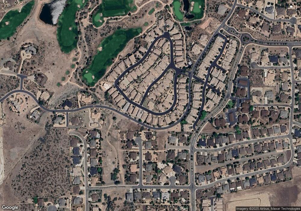
Map
Nearby Homes
- 1220 Pebble Springs
- 10825 W Rd
- 422 Bloomingdale Dr
- 450 Isabelle Ln
- 436 Bloomingdale Dr
- 1899 Kensington Ct
- 462 Bloomingdale Dr
- 495 Isabelle Ln
- 1100 E Rosser St
- 1158 Northridge Dr
- 500/501 E Rosser St
- 854 Northridge Dr
- 1622 Dancing Star Way
- 1710 Tatum Place
- 1410 Claiborne Cir
- 407 Cabaret St
- 1935 Ventnor Cir
- 1693 States St
- 2121 Colter Bay Ct
- 1283-1287 Raindagger Dr
- 1205 Brookhaven
- 1235 Pebble Springs
- 1215 Brookhaven
- 1227 Pebble Springs
- 1232 Pebble Springs
- 1234 Pebble Springs
- 1225 Brookhaven
- 1230 Pebble Springs
- 1223 Pebble Springs
- 1228 Pebble Springs Unit 11
- 1236 Pebble Springs
- 1228 Pebble Springs Unit 11
- 1228 Pebble Springs
- 1217 Pebble Springs
- 1245 Brookhaven
- 1226 Pebble Springs
- 1212 Brookhaven
- 1238 Pebble Springs
- 1243 Pebble Springs Unit 64
- 1243 Pebble Springs