1205 Canter Dr Wayland, MI 49348
Estimated Value: $352,000 - $500,315
2
Beds
2
Baths
1,108
Sq Ft
$364/Sq Ft
Est. Value
About This Home
This home is located at 1205 Canter Dr, Wayland, MI 49348 and is currently estimated at $403,772, approximately $364 per square foot. 1205 Canter Dr is a home with nearby schools including Wayland High School and St. Therese Catholic School.
Ownership History
Date
Name
Owned For
Owner Type
Purchase Details
Closed on
Jun 15, 2015
Sold by
Dorr Ranch Development Llc
Bought by
Toering Ryan M
Current Estimated Value
Home Financials for this Owner
Home Financials are based on the most recent Mortgage that was taken out on this home.
Original Mortgage
$120,500
Outstanding Balance
$93,563
Interest Rate
3.82%
Mortgage Type
New Conventional
Estimated Equity
$310,209
Create a Home Valuation Report for This Property
The Home Valuation Report is an in-depth analysis detailing your home's value as well as a comparison with similar homes in the area
Home Values in the Area
Average Home Value in this Area
Purchase History
| Date | Buyer | Sale Price | Title Company |
|---|---|---|---|
| Toering Ryan M | $163,000 | Chicago Title |
Source: Public Records
Mortgage History
| Date | Status | Borrower | Loan Amount |
|---|---|---|---|
| Open | Toering Ryan M | $120,500 |
Source: Public Records
Tax History Compared to Growth
Tax History
| Year | Tax Paid | Tax Assessment Tax Assessment Total Assessment is a certain percentage of the fair market value that is determined by local assessors to be the total taxable value of land and additions on the property. | Land | Improvement |
|---|---|---|---|---|
| 2025 | $3,662 | $225,100 | $80,600 | $144,500 |
| 2024 | $3,294 | $195,600 | $58,300 | $137,300 |
| 2023 | $3,376 | $179,500 | $56,400 | $123,100 |
| 2022 | $3,294 | $159,900 | $55,100 | $104,800 |
| 2021 | $3,119 | $134,500 | $40,800 | $93,700 |
| 2020 | $2,971 | $126,800 | $38,900 | $87,900 |
| 2019 | $2,971 | $112,400 | $23,700 | $88,700 |
| 2018 | $2,899 | $99,100 | $23,700 | $75,400 |
| 2017 | $0 | $102,100 | $23,700 | $78,400 |
| 2016 | $0 | $20,400 | $20,400 | $0 |
| 2015 | -- | $20,400 | $20,400 | $0 |
| 2014 | -- | $19,900 | $19,900 | $0 |
| 2013 | -- | $22,200 | $22,200 | $0 |
Source: Public Records
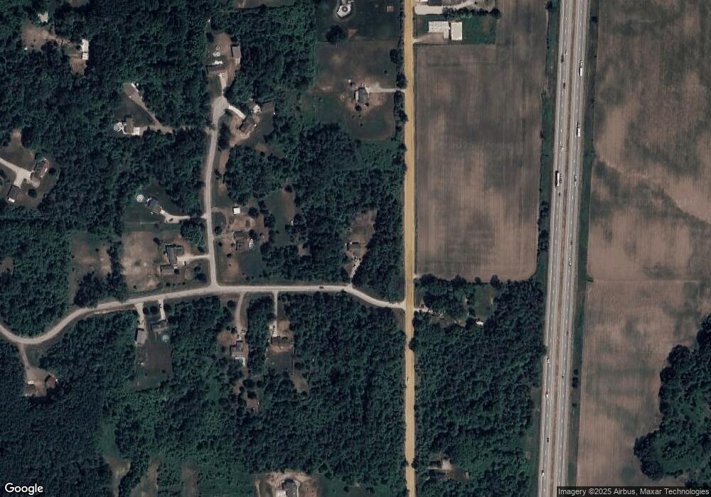
Map
Nearby Homes
- 3770 Division Ave S
- 3570 Windsor Woods Dr
- 3897 Division St
- 1149 Regina Trail
- 1143 Regina Trail
- 3610 Garden St
- 4674 12th St
- 3685 Calkins Ct
- 545 N Main St
- 219 Alpine St
- 319 Alpine St
- 212 E Superior St
- 110 E Sycamore St
- 146 Hanlon Ct
- 621 S Main St
- 401 Anderson Dr
- 330 Lotz Ct
- 835 Wild Flower Ct
- 3905 Sunset View
- 1659 Creek Side Ct
- 3747 N Spur Ct Unit 1
- 3733 12th St
- 1218 Canter Dr
- 3763 N Spur Ct Unit 2
- 3772 12th St
- 1224 Canter Dr
- 3746 N Spur Ct
- 3750 N Spur Ct Unit 5
- 0 Canter Dr Unit M13004365
- 0 Canter Dr Unit M14018155
- 0 Canter Dr Unit G 14018155
- 0 Canter Dr Unit Lot G
- 3756 12th St
- 3771 N Spur Ct Unit 3
- 1238 Canter Dr
- 3764 N Spur Ct
- 3741 12th St
- 3741 12th St
- 3709 12th St
- 3745 12th St