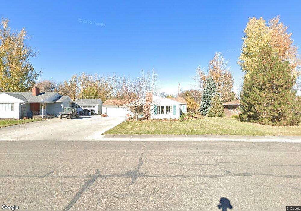
1205 Circle Rd Worland, WY 82401
Estimated Value: $255,013 - $261,000
5
Beds
2
Baths
1,560
Sq Ft
$165/Sq Ft
Est. Value
About This Home
This home is located at 1205 Circle Rd, Worland, WY 82401 and is currently estimated at $257,338, approximately $164 per square foot. 1205 Circle Rd is a home located in Washakie County with nearby schools including East Side Elementary School, West Side Elementary School, and South Side Elementary School.
Create a Home Valuation Report for This Property
The Home Valuation Report is an in-depth analysis detailing your home's value as well as a comparison with similar homes in the area
Home Values in the Area
Average Home Value in this Area
Tax History Compared to Growth
Tax History
| Year | Tax Paid | Tax Assessment Tax Assessment Total Assessment is a certain percentage of the fair market value that is determined by local assessors to be the total taxable value of land and additions on the property. | Land | Improvement |
|---|---|---|---|---|
| 2025 | $718 | $9,426 | $1,568 | $7,858 |
| 2024 | $1,388 | $18,228 | $3,117 | $15,111 |
| 2023 | $1,381 | $18,134 | $3,604 | $14,530 |
| 2022 | $1,409 | $18,509 | $3,604 | $14,905 |
| 2021 | $1,381 | $18,133 | $3,604 | $14,529 |
| 2020 | $1,391 | $18,271 | $3,604 | $14,667 |
| 2019 | $1,359 | $17,844 | $3,604 | $14,240 |
| 2018 | $1,353 | $17,767 | $3,604 | $14,163 |
| 2017 | $1,416 | $18,589 | $3,610 | $14,979 |
| 2016 | $1,414 | $18,569 | $3,373 | $15,196 |
| 2015 | -- | $18,967 | $3,373 | $15,594 |
| 2014 | -- | $16,990 | $3,168 | $13,822 |
Source: Public Records
Map
Nearby Homes
- 1301 Pulliam Ave
- 2396 U S 20
- 2386 U S 20
- 2366 U S 20
- 1012 Pulliam Ave
- 1015 Robertson Ave
- 814 Conant Ave
- 1542 Cloud Peak Dr
- 1205 Coburn Ave
- 1300 Coburn Ave
- 821 Obie Sue Ave
- 408 S 16th St
- 2007 Harkins Ave
- 624 S 5th St
- 520 Obie Sue Ave
- 501 Obie Sue Ave
- 225 S 22nd St
- 739 S 13th St
- 708 S 16th St
- 813 S 15th St