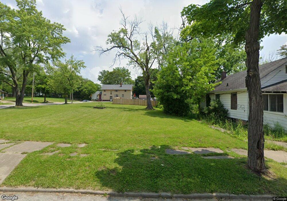
1205 Durand St Flint, MI 48503
Southwest Flint NeighborhoodEstimated Value: $31,838 - $109,000
4
Beds
1
Bath
860
Sq Ft
$73/Sq Ft
Est. Value
About This Home
This home is located at 1205 Durand St, Flint, MI 48503 and is currently estimated at $62,613, approximately $72 per square foot. 1205 Durand St is a home located in Genesee County with nearby schools including Eisenhower School, Flint Southwestern Classical Academy, and St John Vianney Catholic School.
Ownership History
Date
Name
Owned For
Owner Type
Purchase Details
Closed on
Dec 21, 2009
Sold by
Kildee Daniel T
Bought by
Genesee County Land Bank Authority
Current Estimated Value
Purchase Details
Closed on
Apr 8, 2004
Sold by
Vangari Anand and Berru Gayathri
Bought by
Purdon Zachary John
Purchase Details
Closed on
Oct 17, 2003
Sold by
Genesee County Treasurer
Bought by
Vangari Anand and Berru Gayathri
Purchase Details
Closed on
Jul 10, 2002
Sold by
Roberts Michael D and Roberts Veronica S
Bought by
Lasalle Bank Na
Purchase Details
Closed on
Sep 23, 1999
Sold by
Sabty John E
Bought by
Roberts Michael D and Roberts Veronica S
Purchase Details
Closed on
Mar 10, 1999
Sold by
Ottaco Inc
Bought by
Sabty John E
Create a Home Valuation Report for This Property
The Home Valuation Report is an in-depth analysis detailing your home's value as well as a comparison with similar homes in the area
Home Values in the Area
Average Home Value in this Area
Purchase History
| Date | Buyer | Sale Price | Title Company |
|---|---|---|---|
| Genesee County Land Bank Authority | -- | None Available | |
| Purdon Zachary John | $1,975 | -- | |
| Vangari Anand | $2,300 | -- | |
| Lasalle Bank Na | $26,193 | -- | |
| Roberts Michael D | $55,000 | Guaranty Title Company | |
| Sabty John E | $9,900 | Guaranty Title Company |
Source: Public Records
Tax History Compared to Growth
Tax History
| Year | Tax Paid | Tax Assessment Tax Assessment Total Assessment is a certain percentage of the fair market value that is determined by local assessors to be the total taxable value of land and additions on the property. | Land | Improvement |
|---|---|---|---|---|
| 2025 | -- | $0 | $0 | $0 |
| 2024 | -- | $0 | $0 | $0 |
| 2023 | -- | $0 | $0 | $0 |
| 2022 | $0 | $0 | $0 | $0 |
| 2021 | $0 | $0 | $0 | $0 |
| 2020 | $0 | $0 | $0 | $0 |
| 2019 | $0 | $0 | $0 | $0 |
| 2018 | $0 | $0 | $0 | $0 |
| 2017 | $0 | $0 | $0 | $0 |
| 2016 | $0 | $0 | $0 | $0 |
| 2015 | -- | $0 | $0 | $0 |
| 2014 | -- | $0 | $0 | $0 |
| 2012 | -- | $0 | $0 | $0 |
Source: Public Records
Map
Nearby Homes
- 2124 Swayze St
- 1412 Durand St
- 1402 Woodcroft Ave
- 1505 Downey St
- 2429 Brown St
- 1202 Pershing St
- 2433 Brown St
- 1506 Downey St
- 2509 Corunna Rd
- 1926 W Court St
- 2437 Zimmerman St
- 2464 Gibson St
- 2537 Swayze St
- 1725 Lincoln Dr
- 1810 Chelsea Cir
- 2608 Cumings Ave
- 1516 Gainey Ave
- 2618 Brown St
- 1006 Hammond Ave
- 2710 Reynolds St
- 1209 Durand St
- 1213 Durand St
- 1203 Durand St
- 2027 Swayze St
- 1217 Durand St
- 2021 Swayze St
- 1214 Durand St
- 2101 Swayze St
- 1301 Durand St
- 2017 Swayze St
- 2016 Cumings Ave
- 2109 Swayze St
- 2110 Brown St
- 1121 Durand St Unit Bldg-Unit
- 1121 Durand St
- 2014 Cumings Ave
- 2015 Swayze St
- 2113 Swayze St
- 2105 Brown St
- 2112 Brown St