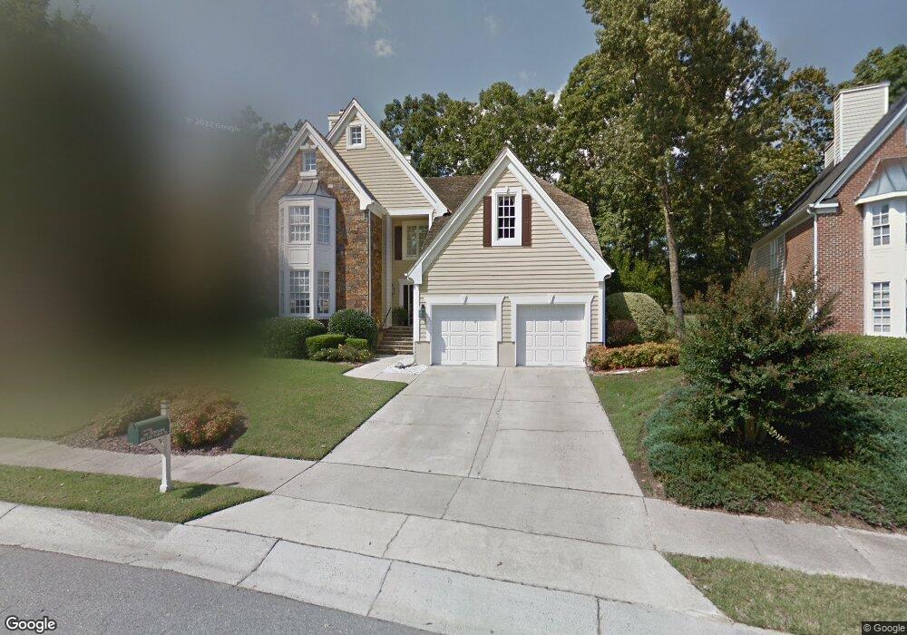
1205 E Pointe Dr Durham, NC 27712
North Durham NeighborhoodEstimated Value: $552,165 - $614,000
4
Beds
4
Baths
3,127
Sq Ft
$189/Sq Ft
Est. Value
About This Home
This home is located at 1205 E Pointe Dr, Durham, NC 27712 and is currently estimated at $592,041, approximately $189 per square foot. 1205 E Pointe Dr is a home located in Durham County with nearby schools including Little River Elementary School, Lucas Middle School, and Northern High School.
Ownership History
Date
Name
Owned For
Owner Type
Purchase Details
Closed on
Jun 12, 1998
Sold by
Schmid Donald W and Schmid Judith A
Bought by
Jernigan Albert Daniel and Jernigan Susan Council
Current Estimated Value
Home Financials for this Owner
Home Financials are based on the most recent Mortgage that was taken out on this home.
Original Mortgage
$284,850
Interest Rate
6.73%
Create a Home Valuation Report for This Property
The Home Valuation Report is an in-depth analysis detailing your home's value as well as a comparison with similar homes in the area
Home Values in the Area
Average Home Value in this Area
Purchase History
| Date | Buyer | Sale Price | Title Company |
|---|---|---|---|
| Jernigan Albert Daniel | $316,500 | -- |
Source: Public Records
Mortgage History
| Date | Status | Borrower | Loan Amount |
|---|---|---|---|
| Previous Owner | Jernigan Albert Daniel | $284,850 |
Source: Public Records
Tax History
| Year | Tax Paid | Tax Assessment Tax Assessment Total Assessment is a certain percentage of the fair market value that is determined by local assessors to be the total taxable value of land and additions on the property. | Land | Improvement |
|---|---|---|---|---|
| 2025 | $5,396 | $544,306 | $139,500 | $404,806 |
| 2024 | $4,998 | $358,282 | $58,078 | $300,204 |
| 2023 | $4,693 | $358,282 | $58,078 | $300,204 |
| 2022 | $4,586 | $358,282 | $58,078 | $300,204 |
| 2021 | $4,564 | $358,282 | $58,078 | $300,204 |
| 2020 | $4,457 | $358,282 | $58,078 | $300,204 |
| 2019 | $4,881 | $392,391 | $58,078 | $334,313 |
| 2018 | $4,526 | $333,645 | $61,950 | $271,695 |
| 2017 | $4,493 | $333,645 | $61,950 | $271,695 |
| 2016 | $4,341 | $333,645 | $61,950 | $271,695 |
| 2015 | $4,752 | $343,276 | $61,049 | $282,227 |
| 2014 | $4,752 | $343,276 | $61,049 | $282,227 |
Source: Public Records
Map
Nearby Homes
- 1202 Summerville Ln
- 101 Abbotsford Ct
- 102 Blackford Ct
- 1119 Stonebridge Dr
- 6226 Old Tavern Dr
- 6234 Old Tavern Dr
- 5 Loblolly Ct
- 305 Sutherland Ct
- 14 Grandwood Cir
- 614 Red Cedar Cir
- 30 Grandwood Cir
- 512 Loblolly Dr
- 2602 Vintage Hill Ct
- 1225 Champions Pointe Dr
- 1218 Champions Pointe Dr
- 6204 Cabin Branch Dr
- 6302 Cabin Branch Dr
- 105 Wright Hill Dr
- 7576 Jock Rd
- 604 Orange Factory Rd
- 1207 E Pointe Dr
- 1203 E Pointe Dr
- 1209 E Pointe Dr
- 1201 E Pointe Dr
- 1202 E Pointe Dr
- 1204 E Pointe Dr
- 1033 Woodhall Ln Unit 38
- 1033 Woodhall Ln Unit 31
- 1033 Woodhall Ln
- 1206 E Pointe Dr
- 1213 E Pointe Dr
- 1021 Woodhall Ln
- 1215 E Pointe Dr
- 4 Covington Ln
- 1019 Woodhall Ln
- 1210 E Pointe Dr
- 6 Covington Ln
- 10 Covington Ln
- 1217 E Pointe Dr
- 1102 Stonebridge Dr
Your Personal Tour Guide
Ask me questions while you tour the home.