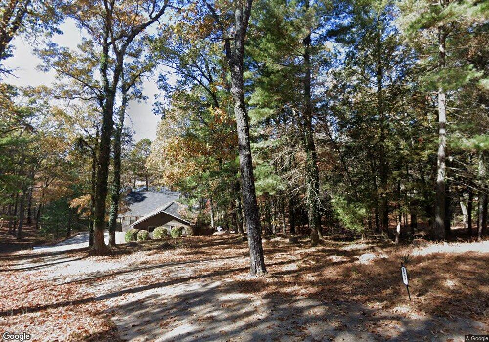
1205 Eaton Rd Blue Ridge, GA 30513
Estimated Value: $2,465,000 - $3,211,000
--
Bed
3
Baths
3,536
Sq Ft
$785/Sq Ft
Est. Value
About This Home
This home is located at 1205 Eaton Rd, Blue Ridge, GA 30513 and is currently estimated at $2,776,143, approximately $785 per square foot. 1205 Eaton Rd is a home located in Fannin County with nearby schools including Fannin County High School.
Ownership History
Date
Name
Owned For
Owner Type
Purchase Details
Closed on
Mar 6, 2007
Sold by
Callahan David Brian
Bought by
Macdonald Ralph F and Macdonald Nancy R
Current Estimated Value
Purchase Details
Closed on
Feb 11, 2005
Sold by
Lavine Janet M
Bought by
Callahan David
Purchase Details
Closed on
Aug 18, 2000
Sold by
Windham Evelyn I
Bought by
Lavine Janet M
Purchase Details
Closed on
Jul 21, 1998
Sold by
Necowa Cove Inc
Bought by
Windham Evelyn I
Purchase Details
Closed on
Jul 22, 1997
Sold by
Stoutenburgh Danne
Bought by
Necowa Cove Inc
Purchase Details
Closed on
Feb 21, 1994
Bought by
Stoutenburgh Danne
Create a Home Valuation Report for This Property
The Home Valuation Report is an in-depth analysis detailing your home's value as well as a comparison with similar homes in the area
Home Values in the Area
Average Home Value in this Area
Purchase History
| Date | Buyer | Sale Price | Title Company |
|---|---|---|---|
| Macdonald Ralph F | $1,025,000 | -- | |
| Callahan David | $975,000 | -- | |
| Lavine Janet M | $760,000 | -- | |
| Windham Evelyn I | -- | -- | |
| Necowa Cove Inc | $433,000 | -- | |
| Stoutenburgh Danne | $98,000 | -- |
Source: Public Records
Tax History Compared to Growth
Tax History
| Year | Tax Paid | Tax Assessment Tax Assessment Total Assessment is a certain percentage of the fair market value that is determined by local assessors to be the total taxable value of land and additions on the property. | Land | Improvement |
|---|---|---|---|---|
| 2024 | $5,131 | $559,860 | $340,000 | $219,860 |
| 2023 | $5,708 | $559,860 | $340,000 | $219,860 |
| 2022 | $4,880 | $563,155 | $340,000 | $223,155 |
| 2021 | $5,102 | $363,861 | $280,000 | $83,861 |
| 2020 | $5,186 | $363,861 | $280,000 | $83,861 |
| 2019 | $5,287 | $363,861 | $280,000 | $83,861 |
| 2018 | $4,866 | $315,861 | $232,000 | $83,861 |
| 2017 | $5,612 | $317,149 | $232,000 | $85,149 |
Source: Public Records
Map
Nearby Homes
- 66 Rome Point
- Lot #15 Rome Point
- 474 Stewart Camp Point
- 160 Star Dr
- .76 AC Charlotte Cir
- .76 ACRES Charlotte Cir
- .76 acre Charlotte Cir
- 48 Orchard Dr
- 45 Wilderness Trail
- 92 Wilderness Trail
- 143 Heritage Point
- 103 Charlotte Dr
- 60 Lake Ridge Dr
- 133 Yellowbird Trail Unit 34
- 133 Yellowbird Trail
- 266 Bluebird Ln
- 444 Yellowbird Trail
- 317 Hideaway Place
- 1161 Eaton Rd
- 1189 Eaton Rd
- 1050 Eaton Rd Unit LT 20
- 1209 Eaton Rd
- 1210 Eaton Rd
- 1133 Eaton Rd
- 1156 Eaton Rd
- 0 Tr 2 Azure Point Unit 303588
- 0 Tr 2 Azure Point Unit 296879
- 0 Tr 2 Azure Point
- 951 Eaton Rd
- L 20 Eaton Rd
- L 20 Eaton Rd
- 0 Eaton Road # Unit LOT 20
- 125 Caretaker Point
- 161 Caretaker Point
- 0 Caretaker Point Unit 7424286
- 1040 Eaton Rd
- 95 Journeys End
- 168 Caretaker Point